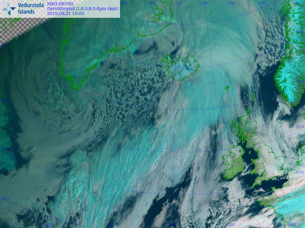
High pressure is slap bang across the UK this weekend, continuing the mostly fine and settled conditions. Though the anticyclone's positioned in such a way as to allow a chilly northerly flow across the UK, with weak fronts slipping south bringing grey skies across central and eastern areas, thick enough to bring some showers across Lincolnshire, East Anglia and SE England. The best of the sunshine to be head today across western areas sheltered from the northerly wind.
Sunday promises more in the way of sunshine in the east, as we lose the cold northerly flow bringing that pesky cloud, with most areas having a dry and bright or sunny day. However, we will start to see the first signs of a change afoot in the north later on Sunday, as high pressure slips south to allow an Atlantic frontal system in from the west by the close of play on Sunday, bringing cloud, outbreaks of rain and a strengthening wind across northern Scotland and eventually N. Ireland Sunday evening.
A cold front slips southeast across Scotland and Ireland Sunday night, bringing with wet and windy conditions for a time here, the front continuing southeast across England and Wales during Monday, but weakening as it does so, with little rain left on the front as it arrives across Wales and The Midlands and little more than a band of cloud as it reaches the southeast in the evening.
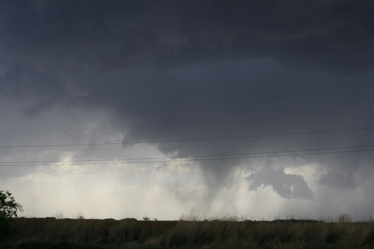
Following on behind the cold front will be colder, clearer but showery conditions - which will spread across all areas on Tuesday. So Tuesday will be chilly with a mixture of sunny spells and showers, which will fall as snow over higher ground in the north and will be accompanied by hail and perhaps the odd rumble of thunder too - particularly across England and Wales as the sun is now warming up the ground a little.
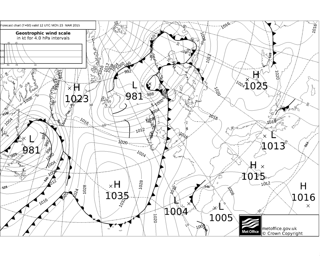
On Wednesday, a ridge of high pressure looks to build in across northern and western areas, but further south and east we will have the presence of an upper low and slack low pressure at the surface which will produce enough instability with the sun's warmth to allow further showers to develop during the day across central, southern and eastern England. Showers again perhaps accompanied by hail and the odd rumble of thunder. A chilly day on the whole with a northerly flow. A widespread frost looking likely Wednesday night as skies clear.
Surface pressure and 500mb heights Wednesday noon

After a cold, frost and bright start on Thursday, the day looks to go downhill from the west, with rain edging in across most areas by evening, as the next Atlantic frontal systems moves east across the UK. This cloud and rain clearing eastern areas on Friday morning, followed by brighter but showery conditions from the west across all parts.
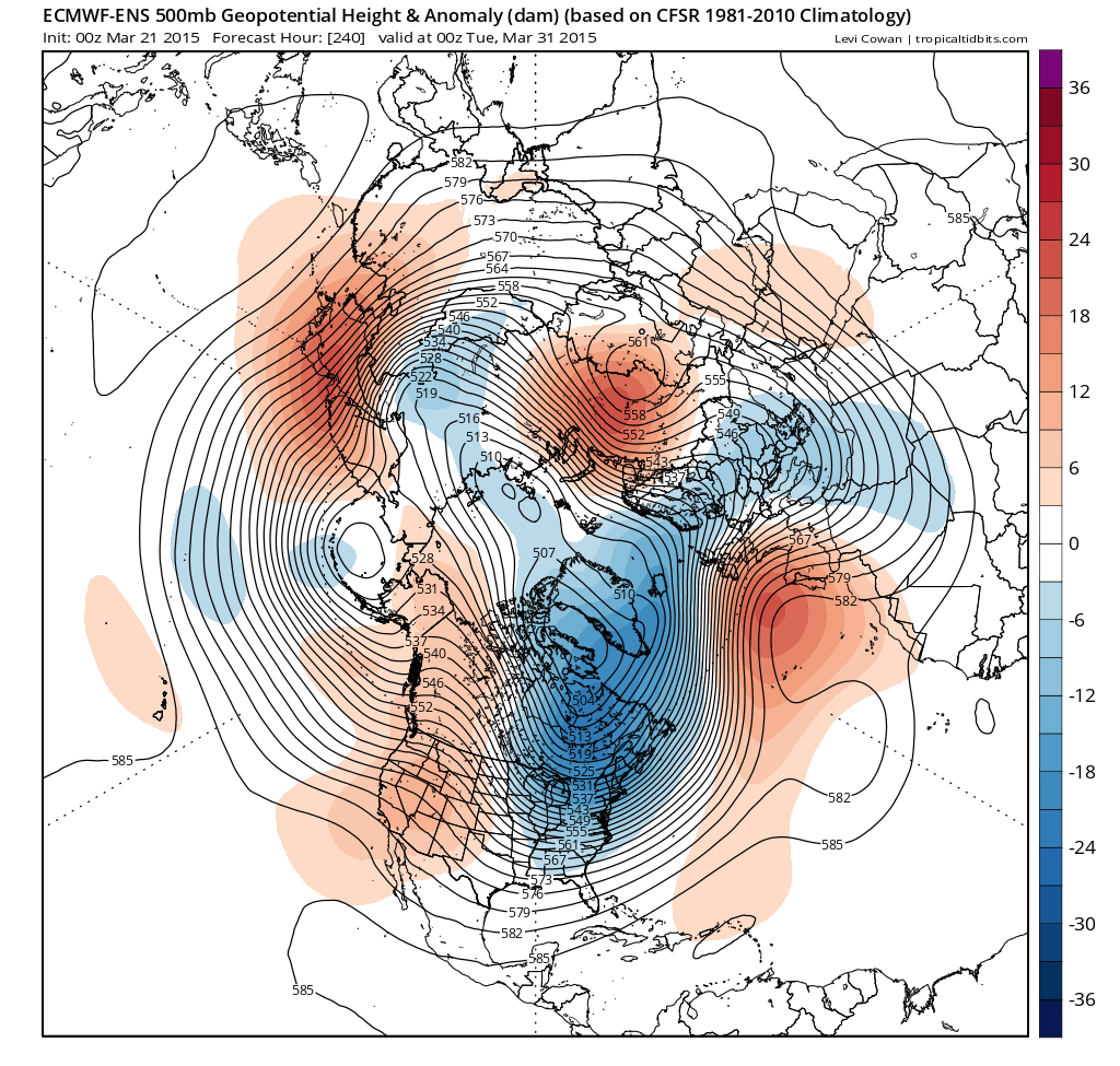
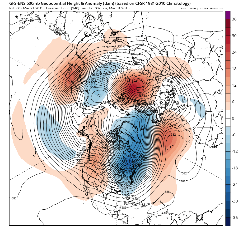
Looking beyond the end of next week at the last few days of March, ECMWF and GFS ensemble guidance and, indeed their operationals, point to high pressure extending from the Azores having an influence across the south of the UK at least, with a deep trough upstream over the NW Atlantic and eastern N America - which would indicate cold returning here. So southern and eastern parts of the UK perhaps enjoying some settled weather to end March (going out like a lamb?) - though northern and northwestern areas perhaps prone to cloud and rain from Atlantic weather systems at times.
ECMWF and GEFS ensemble mean for day 10 (Tuesday 31st March) courtesy of Tropicaltidbits.com:
Loading recent activity...