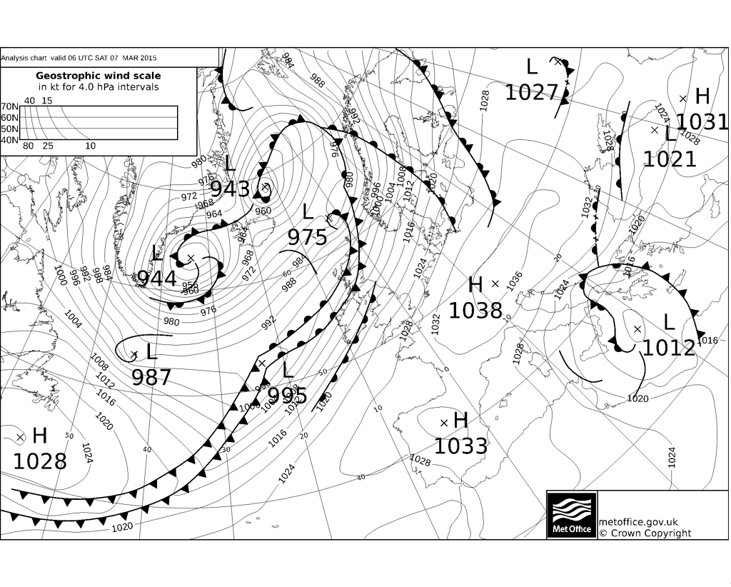
The UK is now under a brisk but mild southwesterly flow coming all the way from the Azores and, with high pressure nearby to the south, much of England and Wales will be largely dry though breezy with some decent spells of sunshine across central, southern and eastern areas - where we will see temperatures head towards the mid-teens degrees C this afternoon, making it feel spring-like. There will be some high cloud turning the sun hazy and more in the way of low cloud across western areas, thick enough for some patchy light rain across Cumbria and Lancashire. It will also be rather windy across northern and western areas, with winds gusting to 40-50mph for a time.
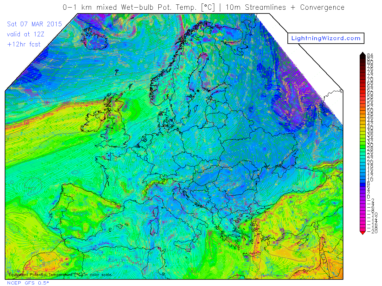
However, it's a different story for the northwest today, where the combination of a conveyor of mild and moist sub-tropical air feeding up from way to the southwest and lift from a slow-moving cold front brings cloudy skies and persistent rain to western Scotland today. The wet bulb potential temperature chart below, which gives a good indication of how warm and moist the air is, clearly shows this conveyor of moist sub-tropical air feeding NE toward Scotland ahead of the cold front, also below.
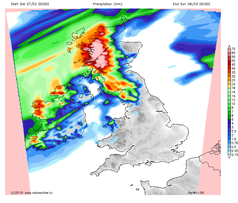
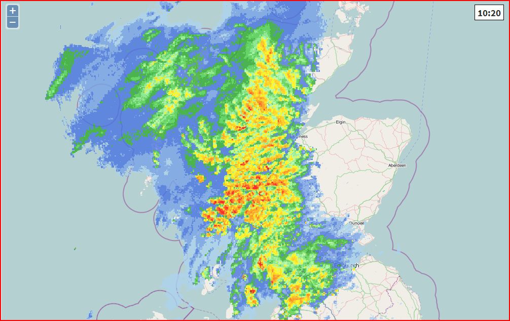
Orographic forcing, i.e. windward slopes of the Scottish mountains forcing the moist air up into heavy rain clouds, is also quite evident on the radar. We could see up to 200mm by the end of play today across windward upslope areas of western Scotland - bringing a risk of flooding. In the rain shadow to the lee of the Highlands, much of eastern Scotland looks to stay dry and sunny, though risk of rain at times filtering east through the central lowlands.
Netweather radar 1020 today:
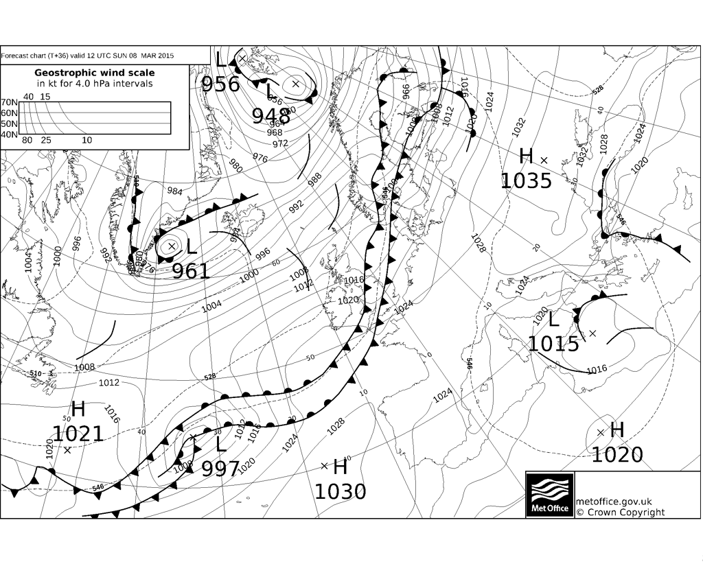
The slow-moving belt of rain across the NW today finally gets a move on during Sunday, moving southeast across the UK, though fizzling out by the time it reaches SE England during Sunday afternoon as the fronts move towards higher pressure and weaken.
Loading recent activity...