We are now into December with 22 more sleeps til Christmas Day for those who are counting. The Santa Shaker can help you with those “Will it snow?” questions. There are three more weekends left for Christmas shopping and with lots of pre-Christmas events, what will the weather bring for this first weekend in December?
Friday will see deteriorating weather from the west and southwest. A new Atlantic low will be heading our way, bringing frontal rain and strengthening winds. In eastern Britain, if you are out early you could leave home with frost and fog but return from a day’s work in the wind and rain. Be prepared. This Atlantic low will slide over the UK during Saturday with showery downpours and a rather unsettled day. There should be a lull overnight with some drier weather but the next frontal system will be arriving from the southwest before dawn on Sunday.
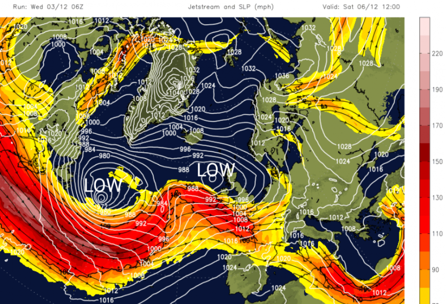
The zonal jetstream just keeps heading straight across the Atlantic helping low pressure after low pressure head right to NW Europe, even into the start of next week. Saturday’s low will bring some milder air from the Atlantic and Sunday’s low will scoop up even milder air from the south and temperatures in southern Britain might reach 15C. No-one will be thinking of snow in that, except as always…
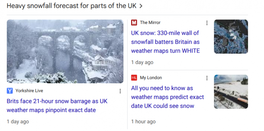
Little support for these snow tales.
The only signal for snow this week is on Friday evening as the frontal rainband comes up against the cold air over northern Britain after dark. There might also be a tiny bit of snow for the hills of Northern Ireland early on Thursday in a bout of heavy rain and some wet snow for the Cairngorms on Thursday evening, again as heavy rain sets in.
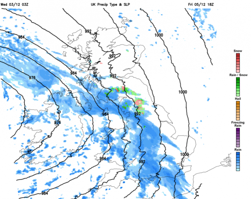
Just worth keeping in mind for Friday evening and night, if you are travelling over higher routes that there could be sleet and snow, and so ice, for a time. Pennine routes, the M6, M74 and higher bits of the M8 and the M9/A9. Milder air is on its way from the south and so rain is more likely but just a highlight here.
The detail for Saturday could be quite tricky so don’t rely on timings from a weather app about when it will rain or be dry. It will be showery but hopefully not as windy as Friday afternoon. Depending on where the low centre ends up there could be light winds for much of the UK but still brisk easterly winds over northern Scotland and a fresh westerly wind for Cornwall and Devon and along the Channel coast.
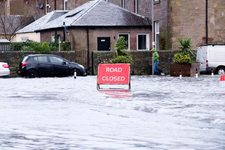
There are low-level coastal flooding concerns for the far south of Britain with spring tides on Saturday.
“Local inland flooding is possible across the South West of England from today until Saturday, and possible but not expected more widely across England on Friday and Saturday. Local coastal flooding is possible, but not expected, across the south coast of England on Friday and Saturday.” Env Agency
There will be bands of showery rain working their way across Britain. Away from these clusters, there will be fair weather with bright spells and it will feel mild with light winds. Temperatures look to be around 8 to 12C.
Although there will be a few lines of showers about, many places will have a settled Saturday evening and the weekend night-time temperatures will be 3 to 6C inland. There could be some clear spells for NE Britain with lower temperatures and a touch of frost. Again, cloud increases from the southwest and the next low pressure arrives.
There is a strong signal on the weather models for the frontal rain to sweep up through Ireland, SW England and Wales on Sunday morning. Milder air with sunshine will follow from the southwest during the day and soon be over Northern Ireland. The frontal rain band will sweep up through Britain, bringing a spell of wet weather and blustery winds for England and Wales. The westerly winds will strengthen through the Irish Sea. It could be a pleasant end to the weekend for those areas with sunshine and the mild air, but manage to avoid the showery bits behind the frontal rain.
Loading recent activity...