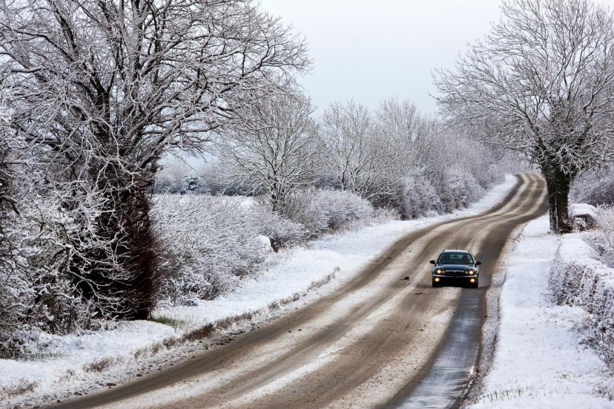
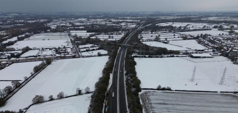
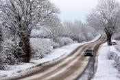
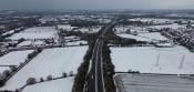
The AA are calling the 5th of January “ Manic Monday” as thousands of people return to school and work after the festive break. With temperatures across the UK below freezing, getting out of bed will seem even harder if your heating is not pre-set for the early wakeup. Extra time will be needed to defrost cars and clear snow. It is still dark and now slippery for pedestrians trying to cross the road, so don’t be driving with a half-cleared windscreen. Parts of northern Scotland are cut off in deep snow, after days of heavy snow showers in the northerly/ northwesterly flow. This deep cold is coming down from the Arctic and will continue for the start of the working week.
Back to school has been interrupted for some pupils (and teachers) in Aberdeenshire, Moray and the Northern Isles with many schools closed. Some roads are also impassable in the Highlands.
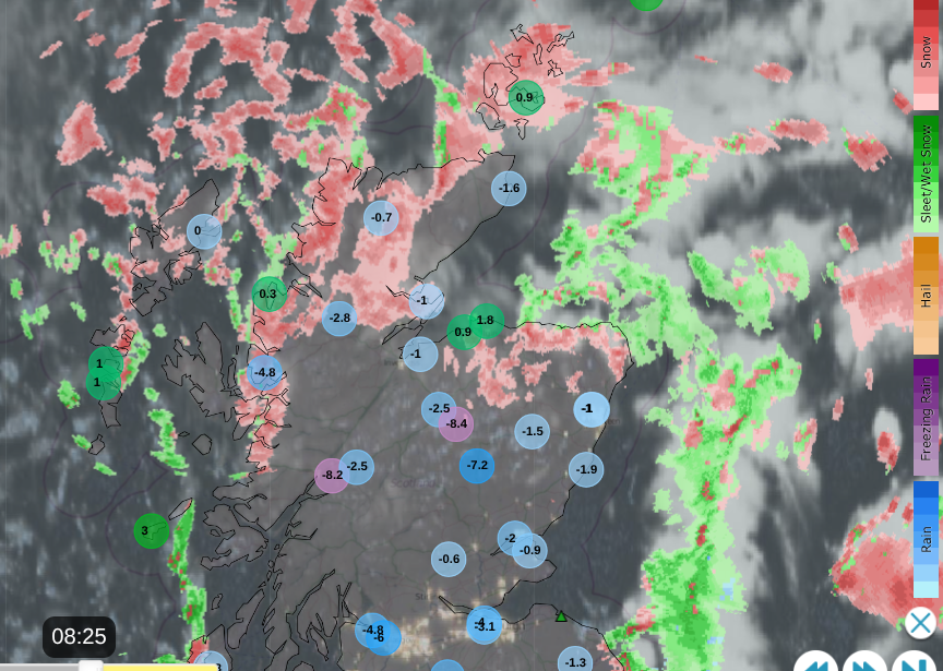
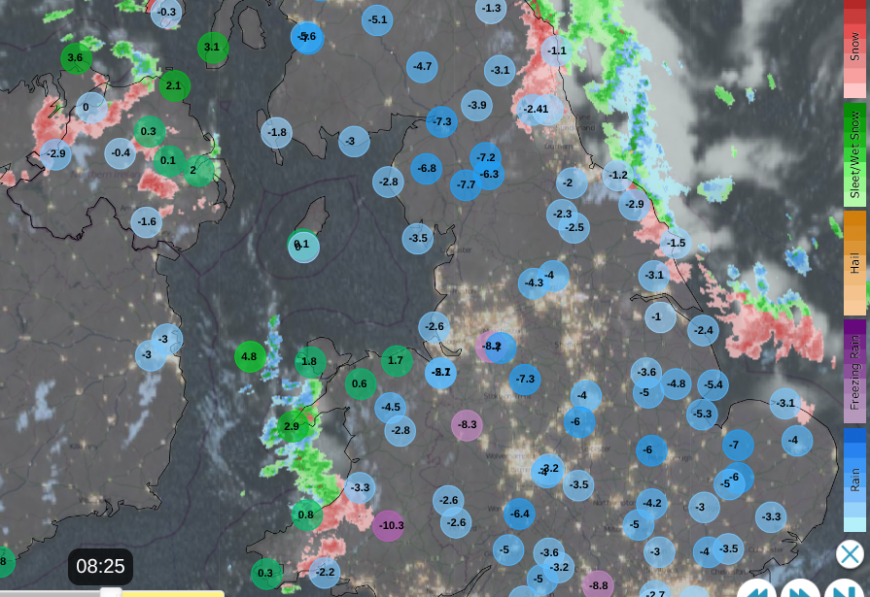
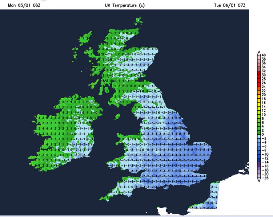
Overnight temperatures fell to -7C at Bournemouth and Manchester airports, Benson in Oxfordshire saw -9 and in the Cumbrian Fells, Shap recorded -10.8C. The snow showers are piling into the Northern Isles and NW Highlands. Lines of showers are moving southwards over the Western Isles, reaching down to Northern Ireland for Monday morning. Western Wales has snow showers with an icy mix along the coast and wintry showers reaching down to Cornwall. On the other side of Britain, the northerly flow is bringing a scattering of snow showers to Grampian but also catching Northumberland and North Yorkshire. During Sunday night, a band of snow moved over the Midlands and Wales which could bring a surprise for parts of England when you open the curtains.
This is the classic wishbone distribution of snow showers in a northerly. Loads of snow for northern Scotland and showers for Northern Ireland with more catching the western and eastern fringes of Britain. Inland, it remains dry, often sunny but very cold.
Any standing water is frozen, and the RSPB are asking people to put out fresh water for the birds, which will save the birds’ energy in this bitter weather. Less energy to search for water, and more energy to find food.
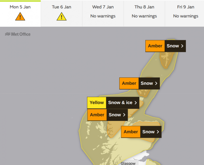
The amber warnings over northern Scotland continue for the first part of Monday morning with a wider yellow warning continuing throughout Monday.
“Frequent and heavy snow showers will bring further accumulations of snow and ice which may cause travel disruption and delays.” MO
Other parts of the UK have Snow & Ice warnings as the cold weather keeps its wintry hold but the snow showers will ease down during Monday. Monday night will be cold again with a hard frost for Britain but not as cold for Northern Ireland as changes from the Atlantic begin to tease.
Although many places have been dry, there will be a risk of ice after today's showers of today. Weather fronts will arrive from the northwest on Monday night. These will introduce more snow, sleet and rain over Scotland, catching the north of Northern Ireland and into Cumbria before dawn. Ahead of this, there will be another cold, frosty start for Tuesday.
Loading recent activity...