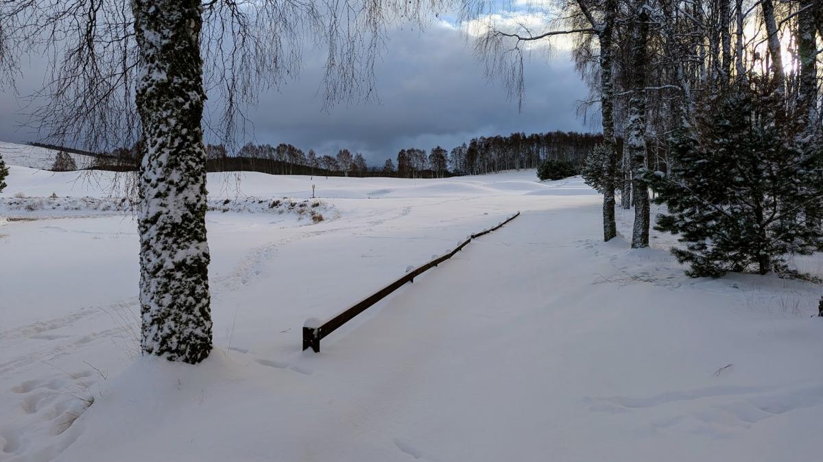
We are having a rather wintry start to the New Year, although so far many areas of the country have missed out on the snow, due to the "wishbone effect" where in a north-north-westerly flow down the spine of the country, snow showers end up restricted to coastal areas while inland it stays dry and sunny. Parts of the Midlands and south did have some sleet and snow penetrate a fair way inland overnight 1st/2nd as the cold spell was getting underway, with a covering for some of the affected area.
Today, the majority of the snow will be in the northern half of Scotland, as on the past two days. Some snow showers will continue to affect areas near the east coast of England, from Northumberland down to Norfolk, and in affected areas, snow will lie widely. But with the airflow still being slightly west of due north, they probably won't penetrate very far inland during the rest of the day.
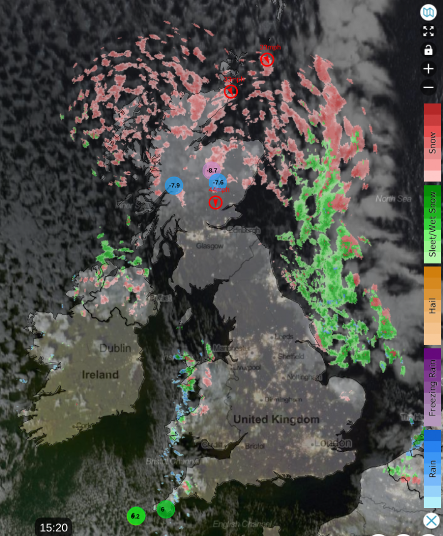
Tomorrow the winds will become more north-westerly which will cause the showers in eastern England to move offshore, but will bring more showers inland into western areas, chiefly north-west England, the western half of Wales, and Cornwall and Devon. These will probably be mostly rain and sleet near the coast and in low lying parts of Cornwall and Devon, but inland and on higher ground they are expected to widely be of snow. The wind may temporarily turn more northerly for a time on Monday bringing more snow showers onshore in eastern England.
It is currently forecast that a frontal system will push south-eastwards through the country next Tuesday/Wednesday bringing rain, sleet and snow. Unlike with the current showery regime, most of us will see precipitation from this, but it will be associated with a pool of less cold air, so more of us may end up seeing sleet or rain rather than snow. As is often the case when frontal systems slide south-eastwards into cold air, northern and eastern Scotland and eastern England look most likely to see falling and lying snow at modest elevations from the system, while further south and west, snow is more likely to be confined to high ground.
After this, milder and wetter weather is expected to spread in from the south-west at times, but there are signs that it may not be a straightforward transition to milder weather, especially again in northern and eastern Britain. As our current northerly runs out of steam, blocking highs will develop to the north of Britain, with potential for these to extend to Scandinavia at times. The current northerlies will create a pool of cold air over central Europe and Scandinavia which has potential to head our way from the north-east at times, and this means that there is potential for further snowfalls, at least for a time, as fronts associated with depressions coming in off the North Atlantic push into this colder air.
However, it is currently looking probable that by mid-January, those cold air masses and the blocking anticyclones to the north and north-east will have shifted, leaving Britain in a mild and changeable west to south-westerly type.
The starkest example of a wintry start to the New Year that many people will remember was in the notoriously snowy year of 2010. Snow fell and accumulated quite widely on the 1st-3rd January, especially in the north and east, and then snow cover spread to almost all parts of the United Kingdom on the 5th/6th, as frontal snow affected most areas, and snow showers spread well inland to the north of them.
Last year also started off on a wintry note, snow wasn't widespread initially in early January 2025 but as fronts pushed into the cold air on the 4th-6th, snow affected a wide area, particularly Scotland and northern England and parts of the Midlands, and snow showers affected some western areas on the 7th. New Year 2021 also started off with widespread snow, and snow lay in many areas on the 2nd, although it generally melted on low ground by the 3rd as less cold air moved in off the North Sea. In contrast, 2022, 2023 and 2024 all got off to a very mild start, exceptionally so in central parts of Europe, but there was a brief cold snap later in the first week of January 2022.
Going further back into the archives, 1979 was a particularly outstanding example of a snowy New Year for most, on the back of heavy snowstorms for many on New Year's Eve 1978, as a strong east to north-easterly flow sent snow showers and longer spells of snow well inland, with considerable drifting.
It has not been equalled since, though there were several other examples where snow affected some areas around or just after the New Year through the 1980s, 1990s and 2000s. 1997 in particular started with a widespread snow cover after an easterly on 30/31 December 1996. Many areas had snow just after the New Year in 1982, 1985 and 1986. Lying snow was widespread on New Year's Day 2002, and some places had a heavy wet snowfall on 31 December 2003 and into 1 January 2004.
1995 started off with a similar setup to what we have now, when a north to north-westerly delivered many snow showers and lying snow to the northern half of Scotland and near some eastern coasts of England, and also in an area extending south-east from north-west England into the south-east. However, most other areas were dry and sunny, with just one light snowfall from a trough that moved south-eastwards through most parts of the country, which delivered no more than a dusting on the ground. But in 1995, milder air spread across all parts by 5 January. In 2026, it looks probable that the mild air will take longer than that to establish.
Loading recent activity...