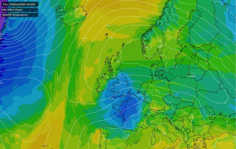
As pressure rises over Scandinavia it'll turn drier but colder in the run-up to Christmas, but don't expect a true 'Beast from the East'. This is because the nearby continent isn't all that cold at the moment, although it'll eventually feel quite raw. As the air dries out though, we'll at least be losing the damp weather.
Any showers towards the south-west will eventually move away, leaving all but the Highlands, the Western Isles and probably the Northern Isles mostly dry. Cloud amounts will continue to vary but on the whole, the trend should be for more in the way of winter sunshine to come through after a grey, misty start again for many.
Although largely dry and beginning to feel quite raw by now, an east to north-easterly wind may bring the odd light shower towards North Sea coasts later. As a result it'll feel increasingly cold, but despite the chill, temperatures across the board should manage to reach 7 to 9C, still well up to normal for the time of year.
As pressure continues to rise, most places will remain dry. The exception will be the north and west of Scotland where a weak but almost stationary front will give patchy rain that'll be wintry on higher hills, with some eastern counties perhaps also seeing a few light showers coming in off the North Sea.
With a raw east to north-easterly wind and in drier air, there are likely to be more breaks in the cloud sheet, especially in the west. This'll make a frost more likely here, with temperatures falling to freezing or just below in sheltered places where skies remain clear. But for most there should be enough wind and cloud at times to prevent a frost, with lowest temperatures mostly in the range 2 to 5C.
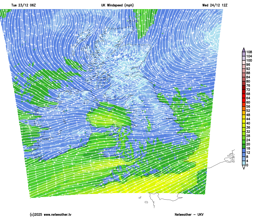
Another mostly dry day with a mixture of some sunny spells and cloud, with the sunniest skies most likely in the south and west. It'll be a windy day across much of England and Wales as the east to north-easterly flow strengthens, adding to the raw feel. With that in mind, it'll be noticeably colder than Tuesday, with temperatures perhaps only reaching 4 to 6C in many places, and feeling colder still in the wind.
Pressure remains high to the north and north-east, maintaining an overall east or north-easterly flow. So it'll continue mainly dry with a few light showers, mainly in the east. With Christmas Day and Boxing Day likely to be the two coldest days, the showers could turn wintry but mainly on hills, making a white Christmas unlikely for most. Frost will be more widespread however, and patchy freezing fog may form in places too.
Towards the New Year, winds may turn into a more northerly quarter. This'll have the effect of lengthening the sea track of the air off a still relatively mild North Sea, making it somewhat less cold. But it should continue mainly dry, although probably with more in the way of cloud, restricting overnight frosts mostly to western areas.
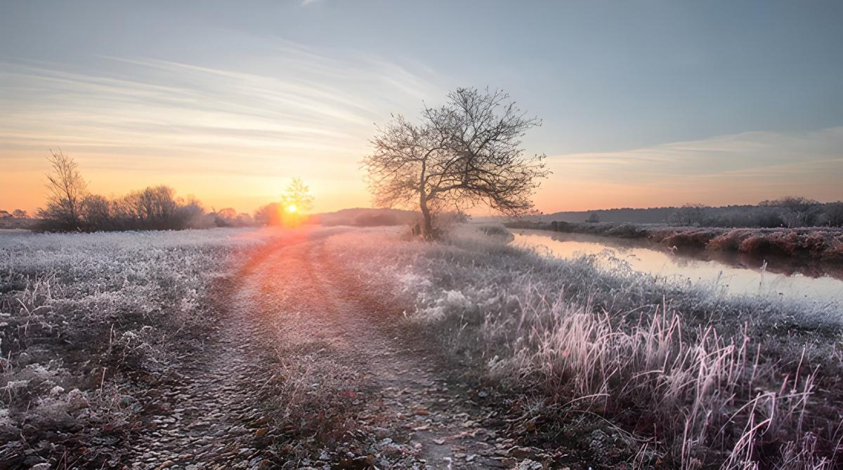
A very merry Christmas to one and all.
Loading recent activity...