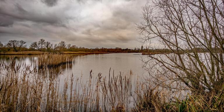
During the past few days, the ECMWF (European Centre for Medium Range Weather Forecasts) model has been suggesting a shift towards colder drier weather in the run up to Christmas, with winds blowing from the south-eastern quarter of the compass. There was even one run which had a potentially snowy easterly on Christmas Day, although this is a long shot as the near Continent is not forecast to be particularly cold following a few weeks of south-westerly winds. The most likely outcome at this stage looks to be dry and fairly cold but not unusually so. There is thus increased potential for fog and frost as we head towards Christmas, although in this setup anticyclonic gloom is also a possibility, which many of us saw frequently in November and December 2024 and for a time in October 2025.
However, while a white Christmas is still looking less likely than not, this could potentially set us up for wintry spells as we head towards the New Year, as the more stable high pressure conditions are likely to lead to continental Europe cooling down, making any subsequent easterlies or north-easterlies more likely to be potent.
Until late on yesterday, the North American GFS (Global Forecast System) model was repeatedly going for a continuation of the current south to south-westerly type through to Christmas, but in the last three runs it has backed down and moved strongly towards the colder and drier scenario predicted by the ECMWF model.
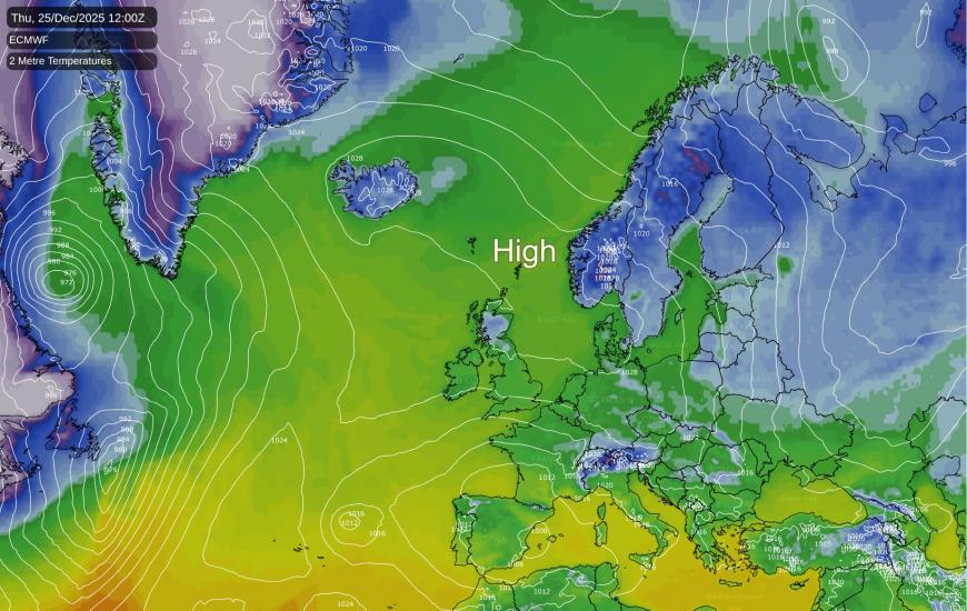
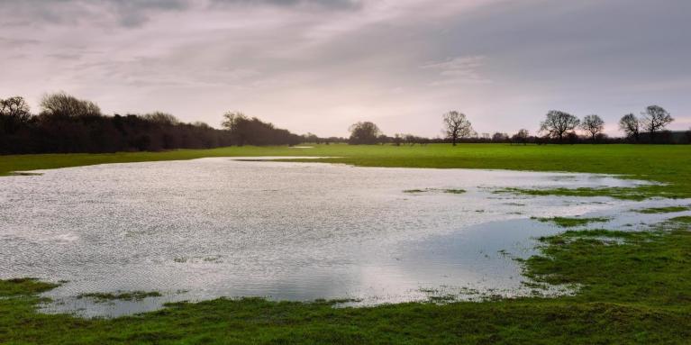
This sort of shift has been being forecast by the longer range ECMWF 42-day model for some time, often getting delayed as we get nearer the time. But although the run up to Christmas is still 10 days away and subject to change, it is looking increasingly likely that the current mild, wet and windy spell of weather will finally break down in about 10 days' time.
In Britain, there was a run of frequently cold and snowy Christmas-New Year periods between 1993 and 2010, with widespread snow on the ground on Christmas Day in 1995, 2009 and 2010 and to a lesser extent 1993, 2000, 2001 and 2004, and post-Christmas wintry spells in 1996, 2003 and 2005. Some places also had wintry showers on Christmas Day 1999, though these did not generally settle except on high ground.
But since 2010, the frequency of snowy Christmas-New Year periods has reduced considerably. There was snow for some on Boxing Day 2014, and 29 December 2017 was a snowy day for much of northern England and Scotland. 2020 had wintry showers in the east on Christmas Eve, but snow did not generally lie for long except on high ground, so most places did not see a white Christmas. There was then further snow for some after Christmas. But the last four years have been mostly mild over Christmas to New Year, sometimes exceptionally so.
This is partly why the month of December, unlike the other months of the year, failed to warm substantially between 1950 and 2010, but has recently joined the other months in running about 1C warmer than in previous decades.
A cold Arctic northerly outbreak is already setting in across the north and north-east of the USA, and this is forecast to push southwards down the eastern side of North America during the coming two days. Temperatures will fall a long way below the long-term seasonal average, probably by in excess of 10C in some areas, and there is potential for significant lake effect snow around the Great Lakes and snow associated with the transition from milder air to this very cold air as the Arctic plunge heads further south.
But it is looking probable that after this cold air outbreak, the winds over North America will become more predominantly westerly. Some cold outbreaks are still forecast for the north and north-east of North America, which have potential to be intense, but they will likely be more short lived. Meanwhile, the southern half of North America, and the west generally, are forecast to be predominantly mild and snow free for a while after the current northerly blast.
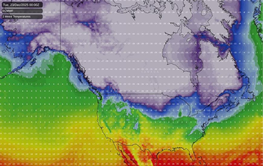
In contrast, it is looking probable that cold Arctic air will become bottled up over Canada, resulting in well below average temperatures for much of the country, during the next fortnight. Parts of Canada have potential to drop below -40C, and even the normally mild south-west coast region, such as around Vancouver, is expected to have substantial cold weather and potential for some snowfalls.
Loading recent activity...