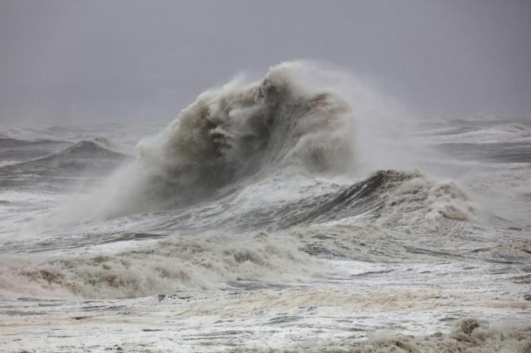
Scotland, Northern Ireland and areas around the Irish Sea will have a blustery end to Wednesday as Storm Bram pulls away northwards. England and Wales have seen a brighter midweek with lighter winds and temperatures in southern England up to 13C.
Temperatures on Thursday will be around 11 or 12C before a cold front edges across the UK on Friday. It will still mild for the time of year but not the heights of 15 and 16C that some spots saw on Tuesday in the southerly flow of Storm Bram. Later this week, we will see a return to colder nights with a bit of frost in places as the winds fall light on Friday.

It has been very wet over the past week and there is plenty of standing water about. Flood warning numbers are declining, but there will be more rain as a narrow but active cold front arrives from the west later on Thursday. Before that, there will be a drier lull once the remaining showers from Bram ease away. There have been some heavy clusters whizzing through for northern areas during Wednesday.
Northern Britain stays blustery overnight as London and the Home Counties see a quieter night. Temperatures will widely be around 7 to 9C in towns and cities, more like average daytime temperatures. The showers in the far north of Scotland will finally fade away.

Thursday
The UK will start off dry on Thursday, although with variable amounts of cloud. Southeastern Britain will still be calm but elsewhere the southerly wind will be freshening, becoming strong through the Irish Sea, for County Down and Antrim and also western Scotland through the morning. It will be a windy few days for these areas. The cold front with its outbreaks of rain will march across Northern Ireland during the middle of Thursday. It will be miserable for a time in the wind and rain, which will reach western Scotland in the afternoon.
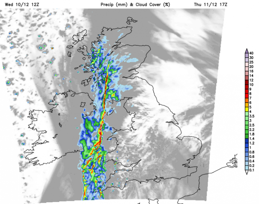
Showery outbreaks will precede the frontal band over Cornwall, Devon and Pembrokeshire in the afternoon.
Although it will become breezy during the day for Britain, still gusty in the north, overall it will be a fine day with bright or sunny spells.
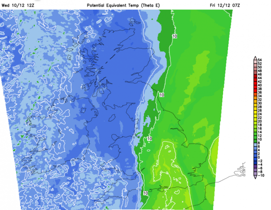
This cold front will make a difference with clearing skies and colder air reaching Ireland later in the day. Very light winds for Northern Ireland in the evening and a frost. The frontal band gets stuck over northwest England and Wales during the night. Scotland and Cumbria become colder as the skies clear but ahead of the frontal rain, it will stay mild in the southerly flow.
Friday
This frontal zone of rain will still be around on Friday morning, through the Midlands, perhaps over Powys. To the west, there will be colder air for the end of the working week, which will displace the milder air over SE Britain. The cloudy, damp weather will drift away from eastern England during Friday. The day will end fine and bright with a scattering of showers for the Western Isles,
Friday night will be colder everywhere with a frost in places. The far northwest will be breezy with further showers, which will turn wintry over the NW Highlands. The weekend looks changeable as the Atlantic drives in further bands of wet and windy weather.
Loading recent activity...