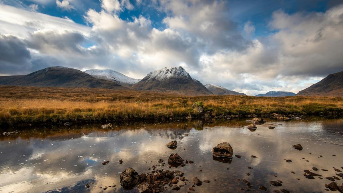
Last week, some parts of the UK saw decent snow in mid-November with a cold northerly flow from the depths of the Arctic Circle. For Monday 24th, we are back in a northerly flow but with rain showers pestering eastern Scotland and eastern England with some heavy downpours and dark skies.
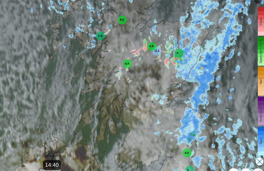
There has been a little bit of snow on Monday over the highest peaks, over the Cairngorms and the Cheviots, with a wintry mix as the showers reach the Pennines. At times, the rain might look icy, but it’s a different picture from last week when the shower pattern did bring snow. There is also a Pembrokeshire Dangler setup in this northerly wind but again, it is rain showers for SW Wales and Cornwall.
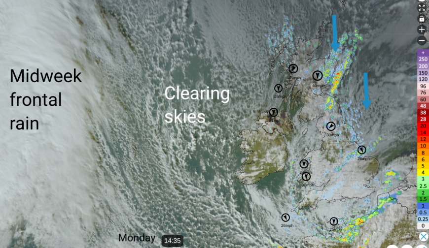
Our airflow is wrapped around a low pressure which brought rain to the UK on Sunday and today. Last week, we had an ongoing northerly wind direct from the Arctic. With a high to the west and a low to the east, anchoring the feed.
Some of the media headlines this week suggest we are in for another covering, but everyone would know by now that you need to look to trusted sources. If you are hopeful for another snow day, there might be disappointment.
Cairngorm Mountain has snow and the Funicular has been running.
“Monday 24th November 8.30 am. Fresh snow overnight down to top of Zig Zags. Still currently snowing at the top and sleet at base level. The fresh snow has improved the conditions in the top bowls and there should be some fine snowsports to be had. It gets a bit thin, scratchy and slushy on the ZZ’s but still passable. “
The air is getting colder during Monday night but the showers will ease as high pressure builds from the Altnatic. So snow is unlikely. There will be a frost on Monday night and Tuesday night with clear skies, cold air, and lighter winds.
The nose of high pressure will do a good job of subduing any precipitation until an Atlantic weather front arrives from the west on Wednesday morning. This is rather patchy rain and is mixed up with milder air in a southerly flow. There could be some initial wintriness over the NW Highlands but again, it will mostly be rain.
Wednesday and Thursday become mild with temperatures into double figures, so no snow likely.
Colder air arrives from the northwest as the working week ends. There will be showers for the NW Highlands again with wintry flurries over the tops but it’s just further bands of rain.
Friday night looks colder, and there could be icy rain, sleet and mountain snow in any showers from the west but that’s about it and more rain showers from the west on Saturday.
No wall-to-wall snow, or “major snowfall forecast”.
There has been talk about Sudden Stratospheric Warming (SSW) and how conditions are changing in the upper atmosphere. Back in 2018, a major SSW event led to changes at the surface where high pressure was over or near to Scandinavia and helped direct a deep cold flow from Russia towards the UK. This led to the infamous Beast from the East (BftE) setup when snow showers piled in off the North Sea in late February.
SSWs do happen, minor ones and majors ones. To reach a BftE setup, there has to be a series of steps, like getting up a ladder. We are not near the top of that ladder. There have been some tentative steps and almost a step back down a rung on a route to a SSW. Maybe see this as rung 3 out of 10 for a BftE. Even if a major SSW occurred, it would be early in the season and so without the deep winter cold of Siberia. Also, other parts of the puzzle would need to fall into place. Those high rungs are not in sight. And if we do ever get these pieces all falling into place, quality forecasters would have several days to let the public know, as happened in 2018. It might be hard to hear the true message with all the ‘noise’ that goes on every time a SSW is mentioned. Don’t believe the hype for now but follow updates at Netweather.
Loading recent activity...