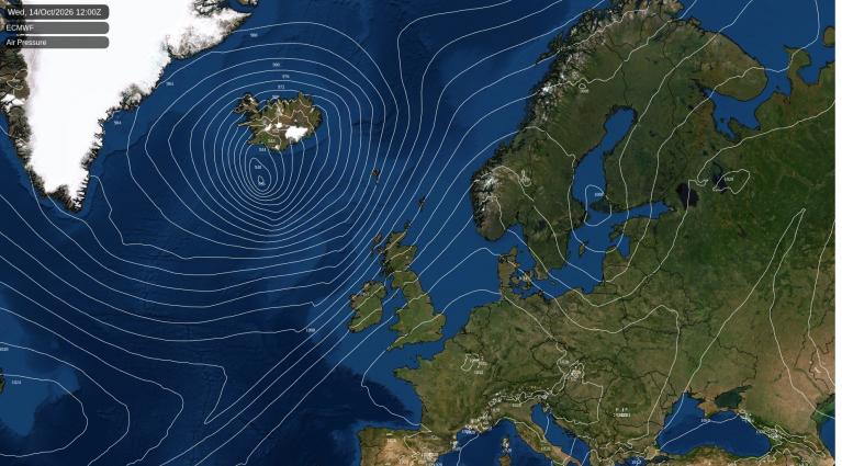
After a cold and wintry week, we have a change for the weekend. Rather than this bitter Arctic chill from the north, a low pressure will swirl in from the Atlantic. Snow will be replaced by rain, sunshine by cloudy grey skies and less cold air means that the warnings for snow and ice will disappear. Daytime temperatures will be around 7 to 12C by day and it won’t be as cold by night.
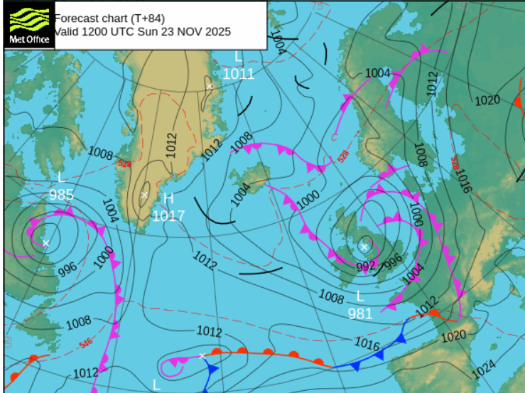
There is still some uncertainty about the forecast at the weekend as we wait for the low pressure to form. This will affect where will see the most rainfall, blustery winds and more cloud. There could be some brighter gaps available too. So at this stage it is more looking at the overall themes in this change rather than clinging on to details, say from a weather app, about which exact hour it will start or finish raining.
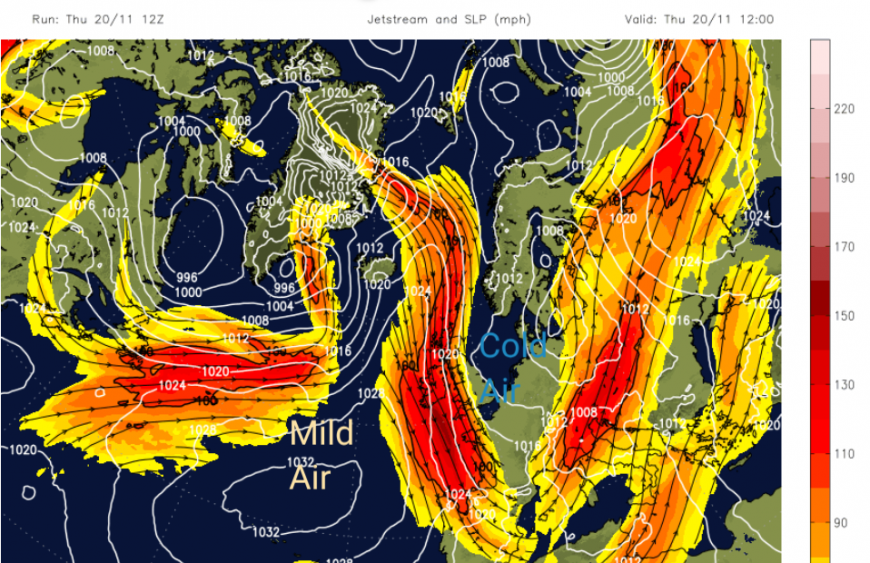
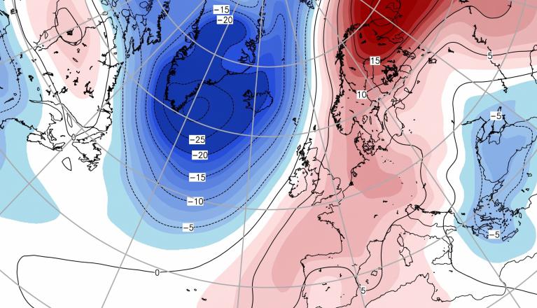
There will be a significant change in the jet stream position. This has been north-south in a large meander with a plunge of cold air coming down through Scandinavia, the UK and into western Europe. There are snow warnings for Belgium and Spain in this northerly blast.
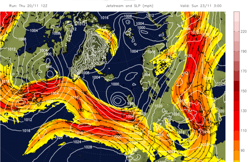
By Sunday, everything will have shifted eastwards with a zonal jet coming straight across the Atlantic. This will help develop the low pressure heading for the UK for the start of the new week. This helps cut off the direct flow from the Arctic, and will pull a bit of milder air over southern Britain next week. Temperatures might reach 13C.
First, we have to get rid of this cold Arctic flow and there will be slushy snow and ice lingering into the start of the weekend.
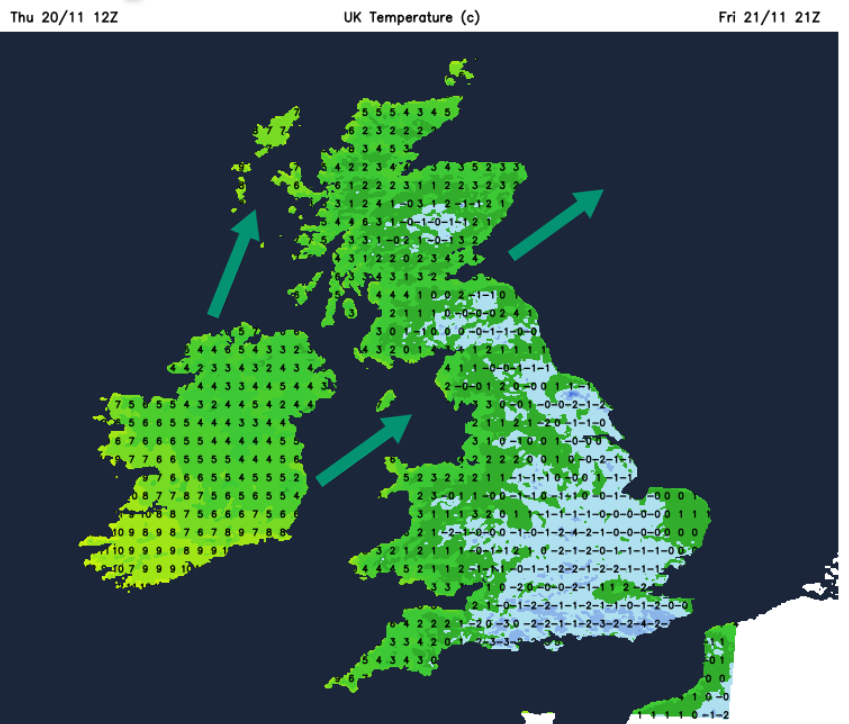
The weekend starts with another cold evening. Temperatures will dip to zero on Friday night with a frost but begin to recover from the west. The incoming weather system will bring more cloud, patchy rain and a moderate southwesterly wind in the northwest of the UK. Eastern England and the Home Counties will stay around freezing for longest towards dawn on Saturday with calm conditions. The frontal rain band will clear from Northern Ireland across the Irish Sea during Friday night. As it moves over northern Britain there will be some snow over the mountain tops and the Pennines but not amounting to much.
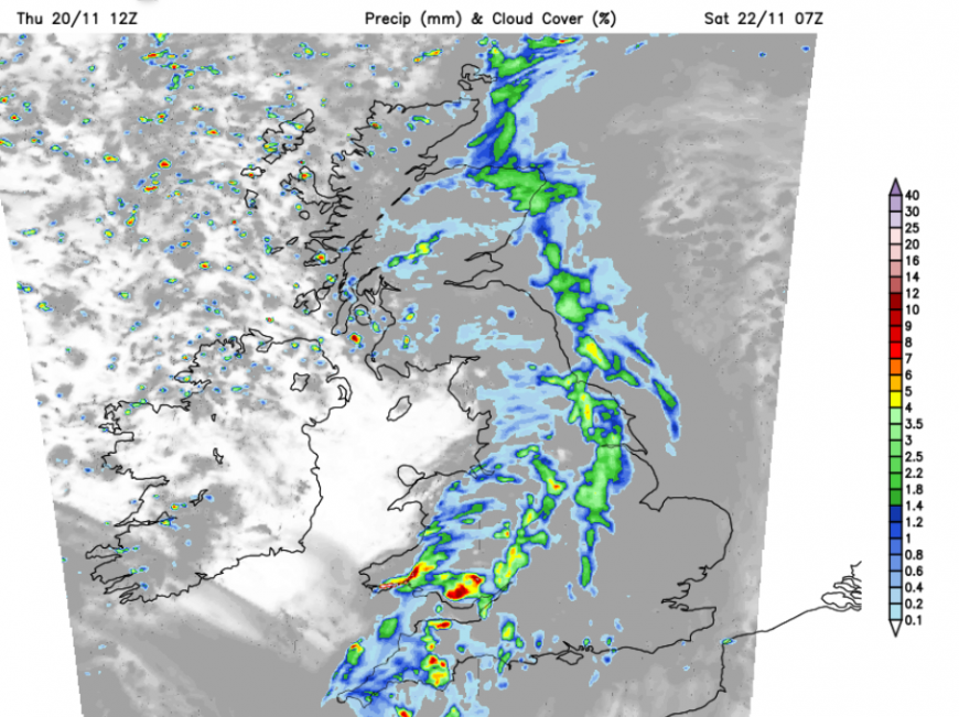
This should leave Northern Ireland with a fine, sunny start when it won’t feel as cold. There will be a scattering of showers coming in from the west and these will reach western Scotland as the frontal band bows off over the North Sea. Wales should brighten up after some heavy pulses of rain in the south as the frontal rain moves over southern England and the Midlands. There will be a brisk SW wind over London and the Home Counties by lunchtime which will make it feel colder in the damp conditions. The rain could take its time to cross southeastern England and East Anglia through Saturday afternoon as skies brighten behind.
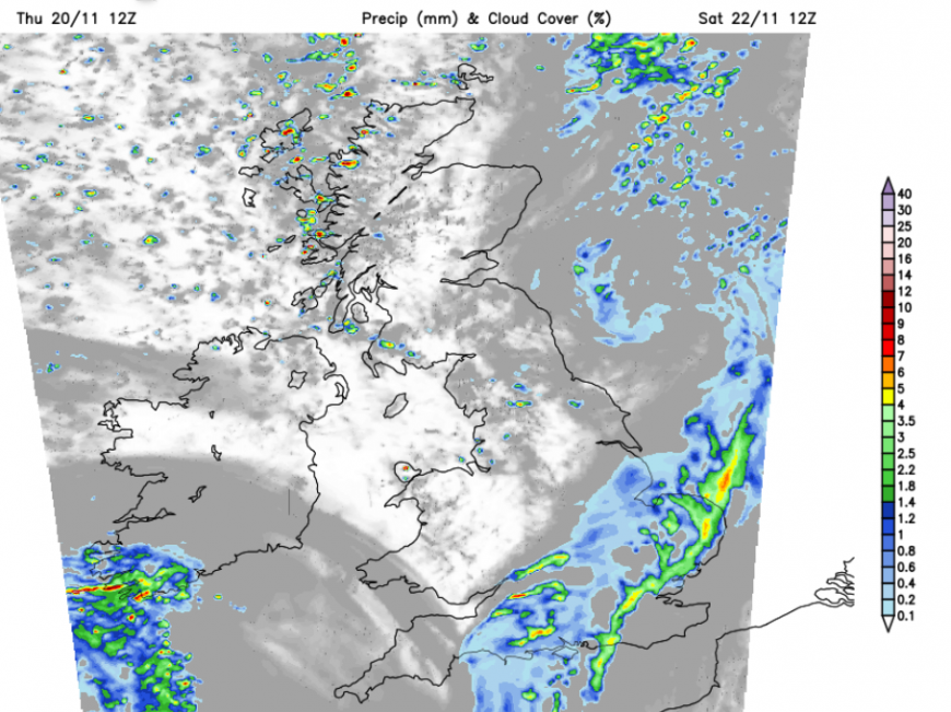
As one area of patchy rain and cloud clears from SE England, another will appear for southwest Britain on Saturday evening. It won’t be as cold for Saturday night although Kent will feel chilly in the blustery wind. Don’t expect a return to the very mild conditions we experienced earlier in November. It will still be damp and around 3 to 6C. Some of the uncertainty in the weekend forecast will be where the rainbands move around the incoming low and how the winds strengthen.
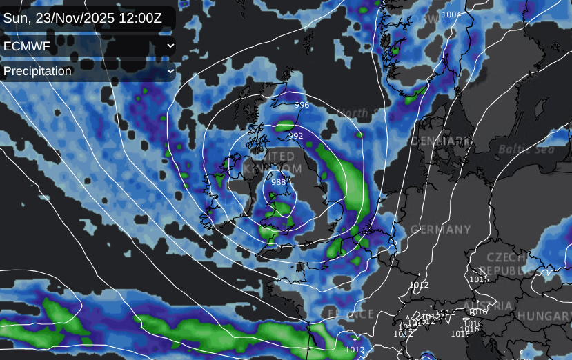
Milder air should be wrapped up in this low pressure but for inland central Scotland, temperatures could still dip below freezing. This would be away from the milder air in the south, and influenced by lingering lying snow.
It deos looked mixed and unsettled with the risk of strong winds, especially for southern coasts. Again any less cold air will be tempered by wind and rain.
As the low pressure pulls away eastards on Monday that will leave a northerly flow briefly before high pressure builds in from the Atlantic and the weather settles a bit. It will feel cool but not as cold as on Wednesday this week.
Loading recent activity...