This week won’t be as cold as last week, although a frost is likely for some parts of the UK tonight and a more widespread frost is expected for Britain overnight into Wednesday. Milder air will topple in for Thursday with daytime temperatures reaching 14C before a cooler turn once more. There will be wind and rain, rather than snow and ice.
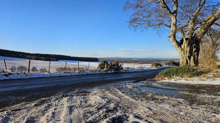
Last week, overnight temperatures fell past -12C, it’s not been that cold in the UK in November in 15 years. Tomintoul in the Cairngorms recorded -12.6C and other local observations were even lower. Back in 2010, Llysdinam in Powys recorded -18C in another snowy November before the cold and snowy winter of 2010/11.
We start the working week with a complex low pressure swirling over England and Wales. One band of rain has cleared from southern Britain over the English Channel as other bands are drawn in off the North Sea. As these showery bursts arrive over NE Britain, you will certainly know about it with hefty downpours. There has been a bit of snow over the tops of the Scottish mountains this morning but mostly this is rain.
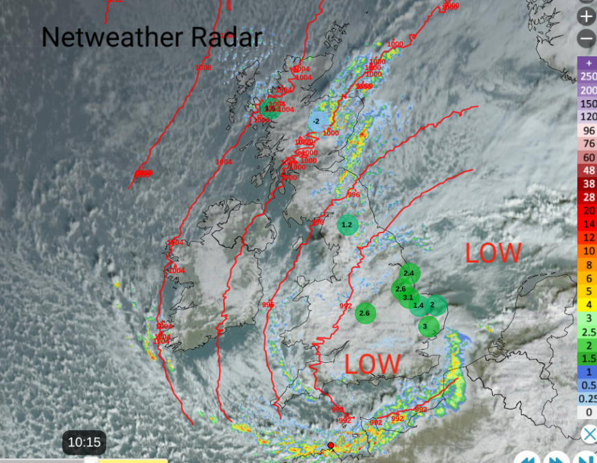 Netweather Radar from Monday morning with lowest temperatures after 10am
Through Monday, the UK settles into a northerly flow as high pressure begins to build from the west. Eastern Britain will keep clusters of heavy showers which will work their way down to The Wash by teatime. Many other areas will be bright, even sunny, especially Northern Ireland but there will be a few showers coming into northern Scotland and a line clipping Pembrokeshire and then Cornwall in this north wind.
Overnight, the passing showers could turn wintry over the Angus Glens and the Cheviots. The pattern is very like last week, it's just the air isn’t as cold. Heavy showers running off the North Sea into NE England and the Yorkshire coast as a line of showers develops west of Wales. This time it's raining. The brisk northerly will make it feel cold along the north Norfolk coast and be enough to stir the air in southeastern Britain overnight, down to Kent by dawn. Temperatures will be around zero for inland Scotland and Cumbria and a few sheltered spots in Wales.
 With overnight air temperatures
The Scottish Borders down to the Humber could be plagued again with rain showers coming off the North Sea. Stopping and starting, and soaking.
The northerly wind will continue to add to the damp chill for England and Wales, even though there will be sunshine. Anywhere in the shade or the breeze will still feel nippy on Tuesday. Northern Ireland and Scotland will have very light winds and there will be plenty of sunshine about on Tuesday.
This does mean clear skies by night and the winds will ease, although the northerly does will take its time over the far southeast of England. Overnight, a freshening southerly will pickup for western Scotland. Inbetween it will be calm, clear and cold with frost. Where there have been showers, there could be the risk of ice by Wednesday morning.
Quite a change for Wednesday as cloud, wind and rain move in from the Altnatic with milder air. Ahead of this will be the frosty start with sunshine, some patchy fog and a nip in the air. It will look lovely and without the nagging north wind, it could be an attractive November morning but rain on the way for Wales and SW England for the evening commute. Patchy rain will quickly move over Northern Ireland on Wednesday morning, also into Scotland with high cloud ahead of it. The rain will turn heavier over SW England on Wednesday evening but for many eastern areas it will stay dry and the rain elsewhere will be patchy.
The southerly wind will be fresh around Irish Sea coasts and strong for NW Scotland and over the high ground. Mild air will reach Ireland in the afternoon and evening as temperatures move into double figures. Temperatures will continue to rise for western counties and then more of Britain overnight.
Thursday will feel mild when you leave the house, a noticeable difference. There will be a good deal of cloud about and patchy rain at times. Temperatures will be around 11 to 14, perhaps 15C. There will be a freshening SW wind, which could bring a wild Thursday night for NW Scotland and the Western Isles.

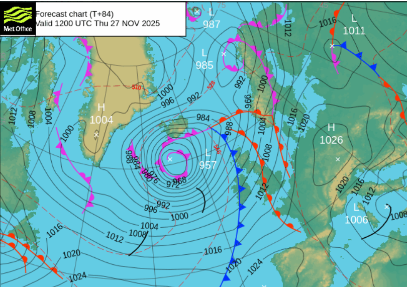
This is as a new Atlantic low moves closer and dominates the weather into Friday morning. After the mild weather on Thursday, cooler air will sink down from the northwest and lower the temperatures on Friday for the northern half of the UK. Quite a lot of chopping and changing this week.
Loading recent activity...