All change this week with wet and windy weather after the steadiness of last week's high pressure. It will feel colder by next weekend in a northerly flow. Does that mean snow? Well, not particularly. There are always some outlets that love to run with snow hype but for most of the UK it will just feel chilly. This will be the first flow of snow showers heading towards the UK, but its mainly for northern Scotland.
“UK snow maps show four days this week where Brits could be blasted by flurries” The Mirror.
Don’t get blasted by flurries, folks.
A look at the temperature changes
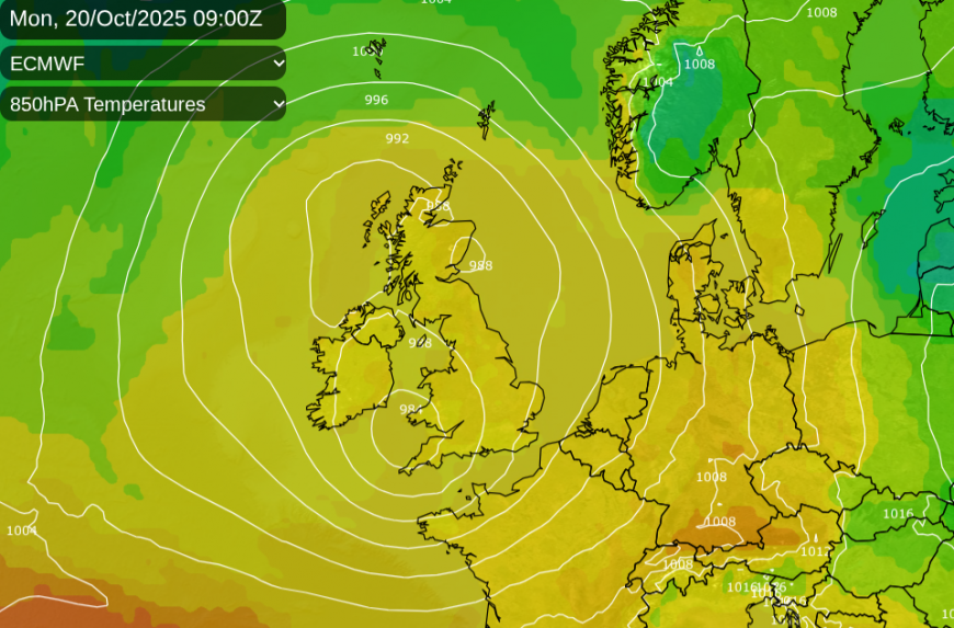
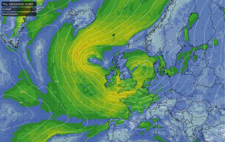
We start this week with mild air brought up from the southwest by the low pressure, which is over the UK for the start of the working week. This is the major change after the steady high pressure, there will be now be bouts of wet and windy weather.
After a bit of a lull midweek, a new low pressure looks set to move across England and Wales and could bring disruptive winds to eastern England as it clears away.
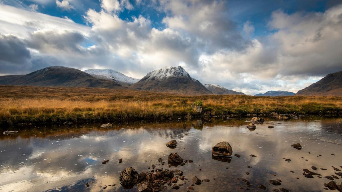
Behind this low will be a pull of colder air from the north and the chillier end to the week. If you are heading to the Scottish mountains, then yes, snow looks likely. If you are in London or the Home Counties, then very unlikely, and the ground is still warm, which would make it hard for the flurries to settle.
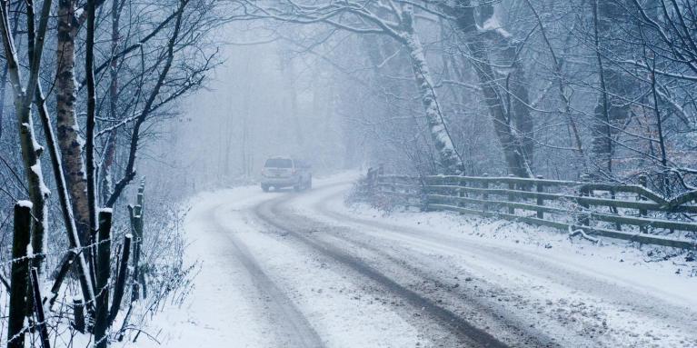
The northerly flow is likely to bring snow showers to northern Scotland; these could also reach the north coast of Northern Ireland and possibly some wintry showers could brush down the east coast of Britain by Saturday night. Shower arrival will depend on the wind direction, more northwesterly brings them to Northern Ireland and northwest Scotland, a veer to a N/NE wind and the showers can catch eastern Britain. But will it be rain, sleet or snow? Snow looks most likely in the showers over the high ground of Scotland and at most a sleety mix in the other zones.
Tuesday night will feel cooler in a westerly then northwesterly flow brings cooler air to the UK as the skies clear. There will be brisk winds over northern areas with gales for the far north of Scotland where it will feel cold. Wednesday will feel chilly in the breeze for central and northern Scotland even with sunshine. And again there will be strong winds to gales for the Northern Isles with blustery showers and feeling more like 7C at best.
As the weather gets more energetic in the early hours of Thursday, there could still be areas of clear skies and light winds. This would be inbetween the existing low centre to the north of Scotland and the new developing low pressure over southern Britain. Hard to pin down at the moments but there has already been some fog for Monday morning. Frost, mist and fog look likely in the quieter, clear lulls later this week.
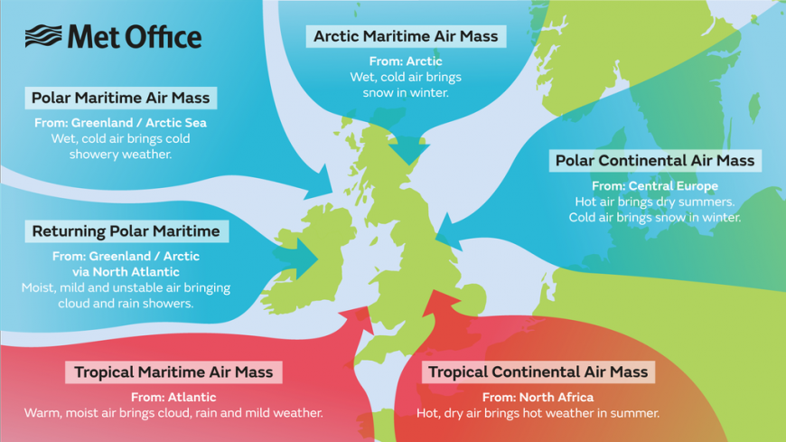
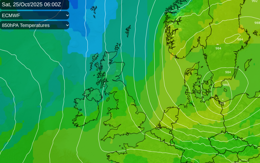
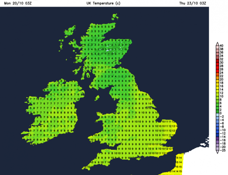
As the Arctic Maritime airmass should take hold on Friday with a different feel for the start of the weekend. There will be a gradual decline in temperatures through the week. On Sunday, Wales saw 17.6C and the highest temperatures this month was 22.3C in northern Scotland on the 6th. That will become a distance memory with the gales and then Arctic air. Now the UK will be closer to 12 to 15C midweek, 10 to13C at the weekend. High pressure looks to shove in from the Atlantic by the end of the weekend changing the flow to a more northwesterly Polar Maritime. It will feel cold and damp in all of this. Adjust your clothes and check your heating if you haven’t already. By the middle of next week we should be back to the westerly flow off the Atlantic.
More to come on the midweek low pressure but just a look at the colder trend in case you spot some ‘barage of snow stories’ in the next few days.
Loading recent activity...