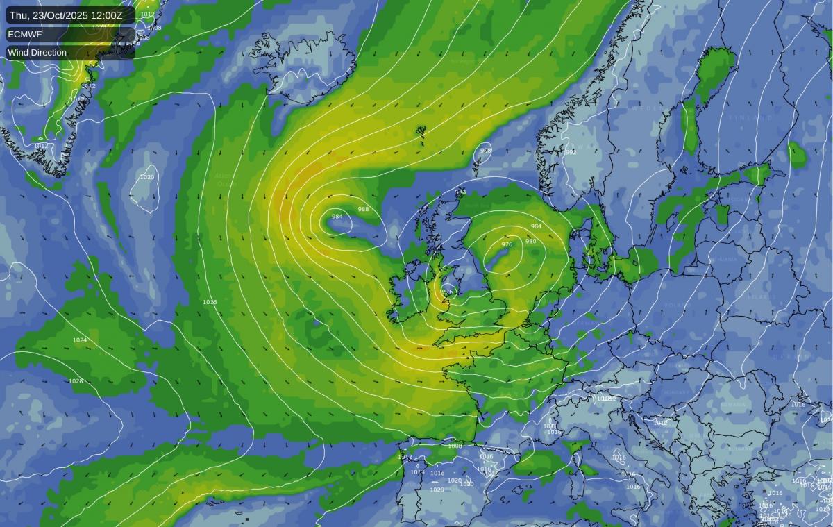
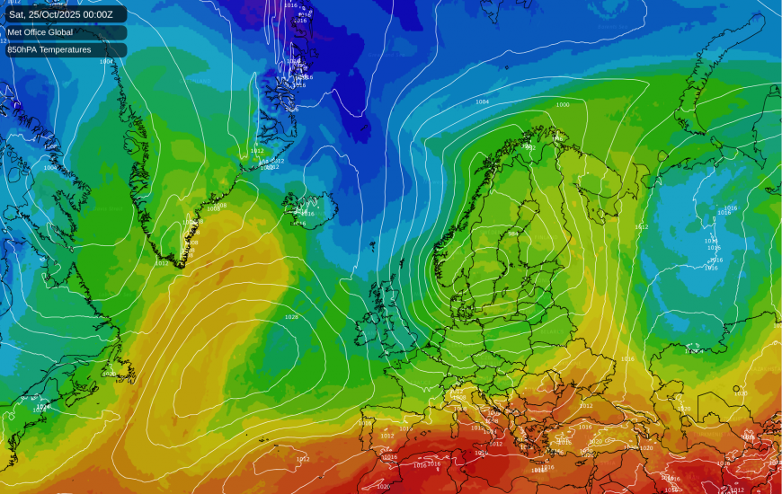
At present, most of us are being affected by anticyclonic gloom, but the weather is set to change completely during the coming week. The Scandinavian blocking high has eroded and now we have a relatively weak anticyclone over the North Sea, which is set to be pushed away eastwards this weekend. Rain will spread eastwards through the country on Sunday, introducing a change to unsettled weather dominated by low pressure, and bands of rain crossing the country interspersed with brighter, showery weather.
There is potential for damaging gale force winds to affect some areas next Thursday and/or Friday as a deep secondary low pushes in from the south-west. The low primarily responsible for this is already visible today but currently looks innocuous, situated in the western North Atlantic. It is forecast to drift slowly eastwards during the weekend and early next week, passing through the Azores, before deepening sharply midweek and then heading north-east to the British Isles. There is uncertainty over how strong and damaging the winds are, and the American GFS model, which has been suggesting 70mph gusts around Lincolnshire, Norfolk and the Isle of Wight, is probably overdoing its intensity at present.
But for instance the ECMWF model is also suggesting similarly strong gusts over a smaller area, mainly around the English Channel. Thus, this potential storm is one to watch, although it is still a long way off and so it is not guaranteed to bring damaging gales.
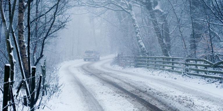
After the potentially deep low late next week, there is strong agreement among the forecast models that there will be a cold snap next weekend with northerly winds. It looks unlikely that it will be cold enough for snow at low levels for most of the country, but there is a chance of wintry showers penetrating to low levels for a time in northern Scotland. Frost is likely to occur quite widely at night, especially in the north.
Fairly widespread snow in late October was very unusual during the second half of the 20th century, but, bucking the warming trend in the climate, has not been all that unusual during the 21st century so far. 27 October 2008 had snow in many areas of the country, and in the evening this penetrated to south-east England, giving the first October snow to the London area since 31 October 1934. 26/27 October 2012 had sleet and snow showers penetrate a long way south down the eastern side of Britain, with a dusting to low levels as far south as Lincolnshire. Sleet and snow also fell quite widely on 27 October 2018, including some snow at Durham early in the day, and snow late on over Dartmoor in south-west England, also with sleet to low levels even in the south-west. There were other cold snaps that mainly brought snow to north-east Scotland, and this one looks likely to be more in that sort of category, with most places not quite cold enough for snow.
After next weekend’s chilly northerlies, there are signs that we will move into a milder changeable pattern as we head towards November, with low pressure taking up its traditional position to the north-west of Britain and bringing mainly south-westerly winds. This mild and changeable weather looks set to extend into early November. However, the longer range forecasts from the ECMWF are pointing towards a likelihood of a mid-North Atlantic high setting up towards mid-November, which, if this happens, would mean potential for some cold northerly blasts.
Although November snowfall has generally declined since the 1990s, in accordance with the warming climate, the most recent instance of widespread snow in November was just last year, with November 2024 having the most potent spell of cold snowy weather in November since 2010. Snow widely affected the Midlands on the 18th and 19th, there were snow showers near North Sea coasts on the 19th and 20th, and on the 21st, the Exeter area had a surprise snowfall. In both 2021 and 2023, there were snowfalls in some areas, mainly the east, towards the end of November. So a mid-Atlantic high setup would potentially be capable of bringing another spell of cold snowy weather at some point in November, as recent years have shown, but it requires us to pick up a broad scoop of cold air from the high Arctic - a tame northerly would probably deliver snowfalls only to high ground.
However, the ECMWF long range forecasts of the synoptic patterns have not always been reliable in recent times, and the more reliable signal is the shorter term one for mild and changeable weather as we head into the early part of November.
Loading recent activity...