Today, Sunday, August 24th, is the feast of Saint Bartholomew, which is often said to bring a late resurgence of summer. An anticyclone in the southern North Sea is set to make the remainder of the Bank Holiday increasingly sunny and warmer. However, this will likely be meteorological summer's final fling, as the remnants of ex-hurricane Erin are expected to move in from the west during the coming week, finally bringing some welcome rain for most.
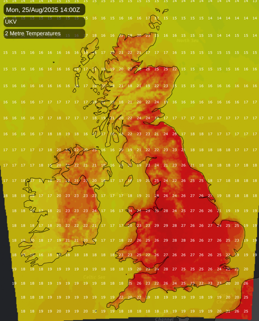
While cloud amounts continue to vary, the persistent cloud that has been affecting most areas over the past few days will continue to break up for the remainder of Sunday. As a result, most parts of the country will have a warmer afternoon with light winds and mainly dry conditions. Top temperatures will be between 20C and 23C, reaching 24C, 25C, or even 26C locally in the sunniest spots. The exception will be the north and west of Scotland, where cloud will bring patchy, light rain or drizzle.
Skies will clear more widely into the evening, leading to clear intervals after dark with light winds. Any patchy, light rain will be restricted to the north of Scotland. It will remain largely dry, though showers are expected to move into Northern Ireland from the west towards dawn. Here, a southerly breeze will freshen a little. During a mostly mild night, temperatures are not expected to fall below 10C to 15C.
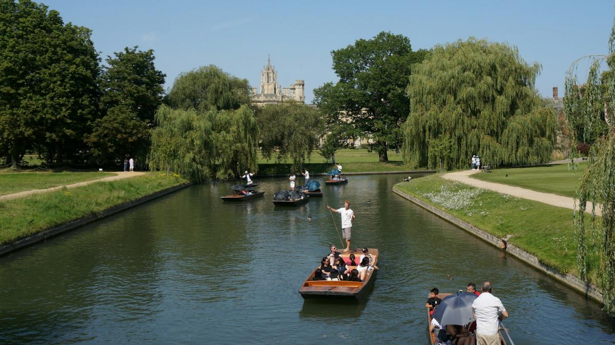
During the day, showers from Northern Ireland will move into the Western Isles and other parts of western Scotland. For most, however, Bank Holiday Monday is expected to be fine and warm, or even very warm. This forecast looks promising for the final day of the Notting Hill Carnival and for many other events happening across the country. A few patches of cloud will remain, but with more sunshine for most, temperatures will climb.
From north to south, you can expect temperatures of 20C to 25C, though only 18C across the Northern Isles. Sunnier parts of the Midlands, East, and South could see temperatures reach 26C, 27C, or possibly even a hot 28-30C. Light breezes at first will become southerly, and a fresh, perhaps strong, wind will develop across Northern Ireland as the remnants of ex-hurricane Erin begin to move in.
For much of the country, a fine, warm late summer's evening will be followed by a dry night in the East and South, although the odd sharp shower cannot be ruled out. However, Northern Ireland will experience a gusty southerly wind bringing blustery showers, which will spread to Scotland and other western areas by dawn. It will be a very mild night, with temperatures unlikely to fall below 11C to 16C.
As we move into the working week, the weather will turn much more unsettled, with some welcome rain for most. The decaying ex-hurricane could still pack a punch for a time, bringing blustery showers that may be locally heavy and thundery.
Loading recent activity...