The monotonous conditions of the past few days have made it difficult for forecasters not to keep repeating themselves, but Thursday seems set to at least provide something of more meteorological interest, with the threat of some localised heavy and even thundery downpours on offer. However, the overall pattern remains the same, as winds continue from a north westerly quarter.
Wednesday sees a complex set of Atlantic fronts bringing patchy rain to Northern Ireland and the West of Scotland this afternoon. Eastern areas, after a fine start, will see more cloud and a few showers, while remaining areas are more likely to see some sunshine. Top temperatures will be 17 to 18C in the north, 22 to 24C further south in mostly light or moderate breezes.
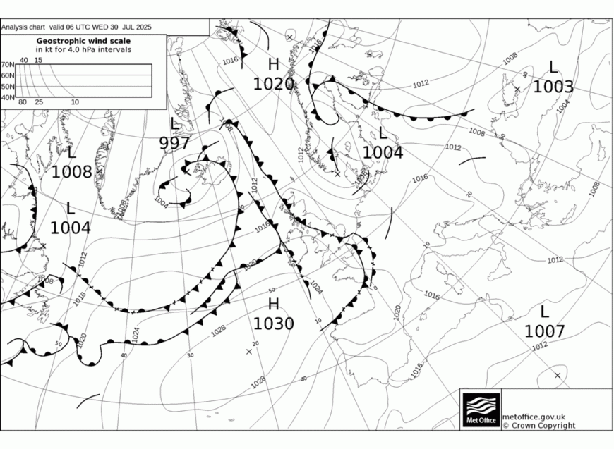
Central and eastern areas may be fine for a while into the evening, before those fronts bring some rain mostly to the north of Scotland, Wales and the southern half of England. However, in a very mild night, temperatures fall no lower than 11 to 14C and 16 or 17C in the far south west and south.
Thursday sees patchy rain mostly from Wales and the Midlands southward breaking up into scattered showers. But as temperatures rise through the day, some of the showers mainly across the east and south will become heavy. A few thunderstorms are also expected that could give torrential downpours bringing the risk of localised 'flash' flooding.
Elsewhere there'll also be a few showers but they shouldn't be as widespread or as heavy, with some places missing them altogether. You should see more in the way of sunshine here as well, although cloud amounts will vary in a mostly light or moderate North Westerly breeze. Top temperatures of 17 to 22C will be slightly down on Wednesday's values in what has been a somewhat disappointing second half of July.
Showers persist into the evening in the east and south but will slowly fade after dark. For most there'll be some sunshine to end the day, with the combination of light winds and clear spells leading to a chillier night. Temperatures could fall into single figures in a few sheltered rural parts of the west and north, with minimum values mostly in the range 8 to 12C.
Friday sees the new month beginning on a chilly note with a few showers mostly in eastern areas, but there'll also be sunny spells. The weekend sees temperatures closer to normal, with Saturday promising to be mainly dry. Sunday though, may see further showers moving in from the west.
Loading recent activity...