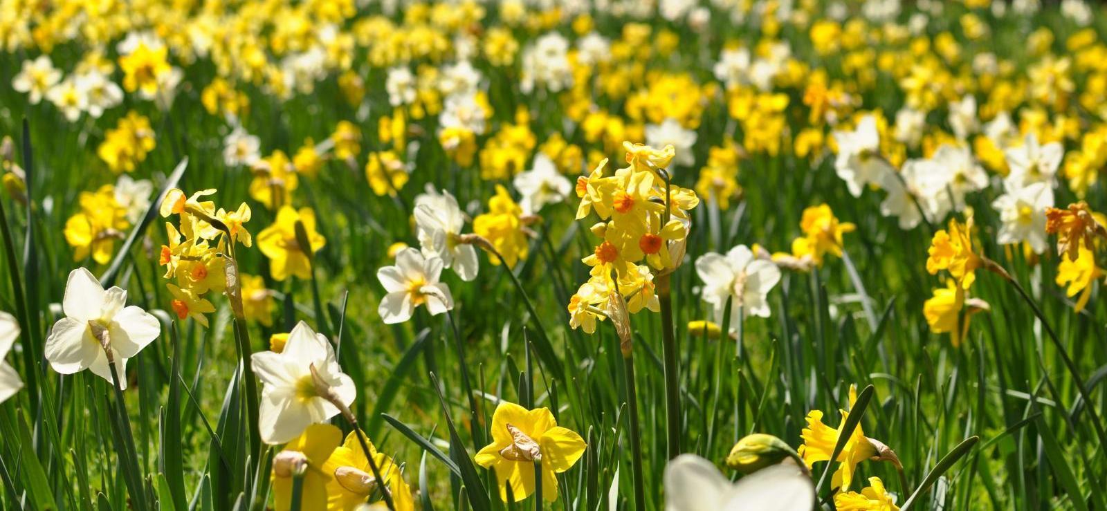
As March unfolds, we often witness a large diurnal range of temperatures with cold nights followed by much milder days. This midweek outlook, coinciding with the arrival of the Spring Equinox, brings sunny spells sunshine, but also the chance of a few showers.
During relatively calm, clear conditions in March, we often see stark diurnal ranges of temperature. Today, Wednesday, will be a case in point, with a lovely, sunny, 'spring-like' day for most, following an overnight frost. Therefore, don't be surprised to see temperatures reaching the mid to high teens Celsius this afternoon in places, despite an early frost, giving us a diurnal range of around 15C.
But there have been larger diurnal ranges in the past. For example, as a teenager, I remember the crazy March of 1965. This saw a very severe frost early on the 3rd, when the thermometer fell to -11C (12F) at my station near Nottingham. But in complete contrast, on a beautiful spring day later that March, temperatures on the 29th reached a hot 25C (77F) near Wakefield after an early grass frost, giving us a diurnal range of almost 25C. No wonder the month is sometimes referred to as 'Mad March'.
The Midlands and south will see some cloud into the evening, but apart from the odd light shower here, it will stay dry overnight in a mostly light south-easterly breeze. There will be clear spells, making it misty in places, with a few fog patches towards dawn, mostly over the Midlands and in the north. Expect another frost here, as temperatures fall to -4 or -5C in a few Scottish glens. But further south, it will be a less cold night, where 2 or 3C is more likely, with the far southwest not falling below 8 or 9C.
The fine weather continues into Thursday, when we see the vernal or spring equinox, or the first day of astronomical spring. There will be lots of sunshine again, after an early frost in the north and patchy fog has cleared. Some cloud may 'bubble-up' later to perhaps produce the odd shower, but it will stay mainly dry. It will also become rather warm, even warm, across parts of the east and south, where temperatures should reach 18 or 19C, perhaps 20C somewhere to the west of London. Further north, 11 to 13C is more likely, with 14 to 17C a more general maximum in a south-easterly wind that will continue to keep exposed North Sea coasts mainly north of the Humber cooler.
After dark, it continues mostly fine and dry with clear spells, the probable exception being South Wales and the South West, where a few showers may break out later. It will turn misty in places once more, but with more of a south-east or southerly wind that will begin to freshen in the west, patchy fog and a frost are less likely. Lowest temperatures will be 2 to 5C in the North and East, and 9 or 10C towards the South West.
During Friday, the lovely spring weather begins to break down, although eastern areas may stay fine for another day. By the weekend, it should become more generally unsettled, but at least the rain will be welcome news for farmers and gardeners.
Loading recent activity...