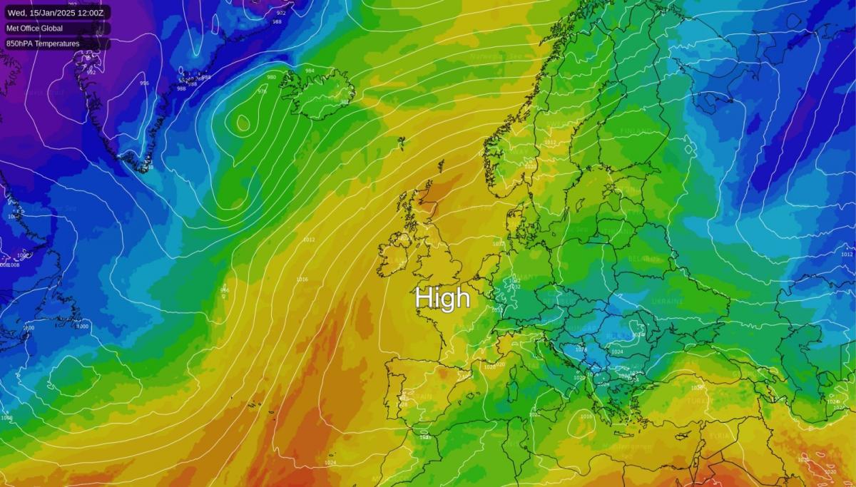
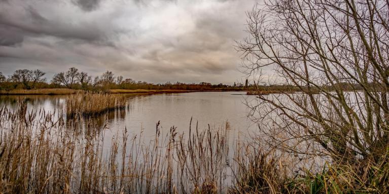
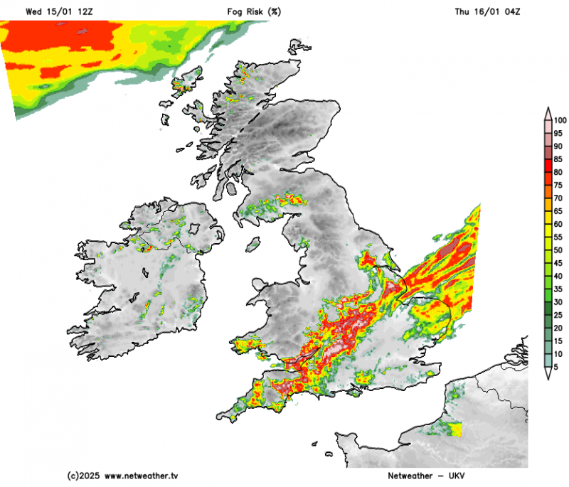
Although it's become milder, a large anticyclone remains centred just to the south. This will continue to bring mainly dry weather to most of the country. With lighter breezes over England and Wales, patchy fog and areas of very low cloud will be a feature. There'll also be a touch of frost at night where skies remain clear.
On the other hand, the north and west of Scotland and the west of Northern Ireland will be breezier and milder than elsewhere, with a little rain or drizzle in places, mostly in the far north-west. Any changes are expected to be slow, with our resident anticyclone maintaining a strong ridge over most parts before eventually drifting into central Europe. So expect much the same in the next few days before Atlantic systems bring some rain, mostly to western parts over the weekend.
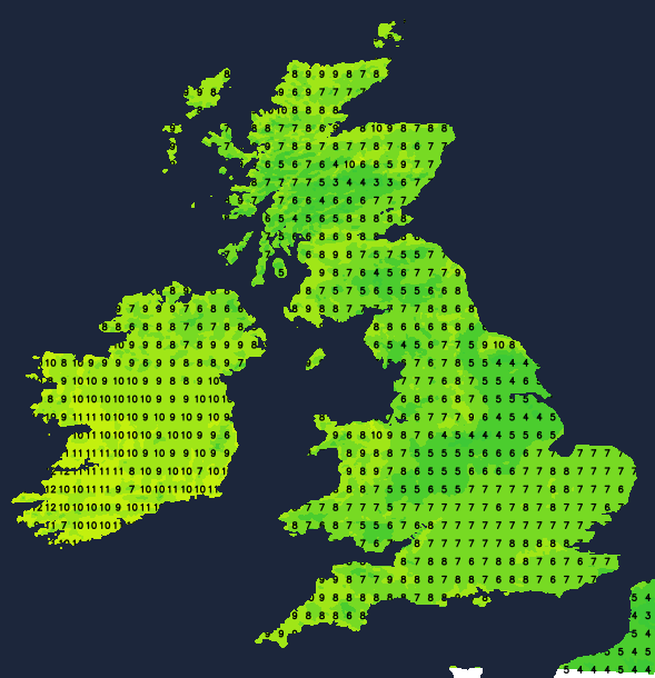
Although cloud amounts will vary, the best of the sunshine into Wednesday afternoon will be across the west and north. Sheltered parts of Northern Ireland and Scotland should also see some sunshine, the exception being the far north-west where it'll be breezier with occasional rain or drizzle. You'll also remain under a sheet of cloud across the east and south-east, making it gloomy and misty in places. Top temperatures will range between about 7 and 12C.
After dark, it turns misty fairly generally in light winds. Where skies clear, patchy fog will form, mainly over England, Wales and the east and south of Scotland, allowing temperatures to fall to -1 or -2C in the coldest spots, giving a slight frost. But where cloud persists, it'll be milder, with East Anglia and the south-east probably remaining overcast. Apart from some further mostly light rain or drizzle in the far north-west, where a south to south-west wind will be more noticeable, it stays mainly dry.
It stays much the same on Thursday in mainly light winds, as high pressure remains ensconced on the nearby continent. Some places will see the sun coming through while others keep a lot of cloud and mist under 'anticyclonic gloom', which may give a little drizzle here and there. Patchy fog will also tend to linger, keeping temperatures well down in these parts.
Most places continue dry apart from the far north-west, where a south-west to southerly wind may prove quite blustery. For most, it'll be somewhat less mild, with temperatures across the board between about 7 and 10C, but only 2 to 4C where fog is slow to clear or lingers.
It turns misty once more after dark, especially over England, east Wales and south-east Scotland, where patchy fog will form again. Further north and west, there'll probably be more of a southerly wind, with Northern Ireland and the Western Isles perhaps seeing some rain later in the night. A touch of frost is likely again, mainly in central and eastern areas where skies stay clear, with lowest temperatures around -2C, but it'll be milder where cloud persists, with 5 or 6C nearer the mark in these parts.
Loading recent activity...