Hurricane Lorenzo, currently maintaining its strength as a category 2 storm, started life as a tropical wave that moved off the west coast of Africa on the 22nd of September, before rapidly intensifying into the weekend.
On Saturday (28th) Lorenzo briefly strengthened into a category five hurricane over the central tropical North Atlantic, making it the strongest hurricane ever observed so far east over the Atlantic. It was almost 600 miles further east than the previous easternmost category 5 storm - Hurricane Hugo in September 1989, before it headed west and hit South Carolina as a cat 4 hurricane.
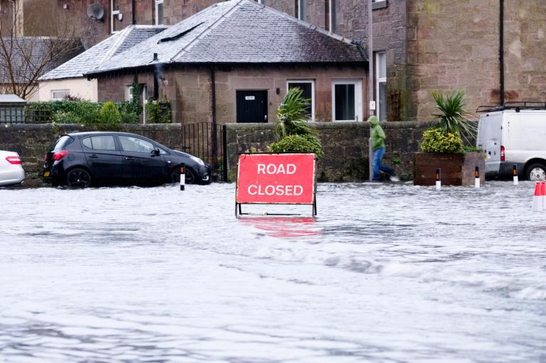
Lorenzo strengthened from a category 3 storm (with sustained winds of 115mph) to a category 5 storm (sustained winds of 160mph) within just 12 hours on Saturday. Lorenzo has since weakened as it continues to head northeast, but will still pose a threat to the Azores later on Tuesday and overnight into Wednesday. The core of the hurricane is forecast to pass near or just west of the western Azores, bringing rainfall totals of 2-4 inches over the western Azores in 24 hours, bringing a threat of life-threatening flash-flooding. Huge swells generated by the Hurricane are also likely to cause life-threatening surf and rip currents.
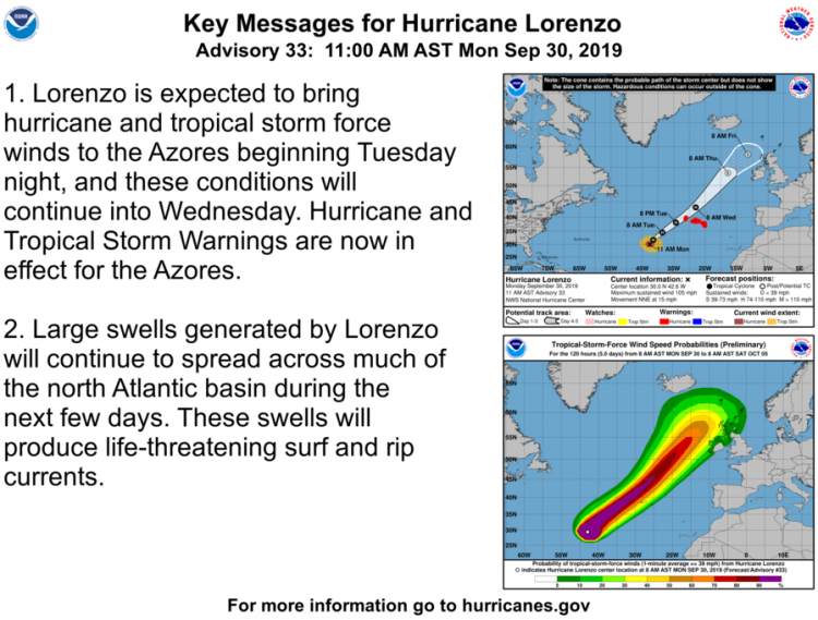
The Portuguese Institute for the Sea and the Atmosphere has issued a Hurricane Warning for the central and western Azores. The Institute has also issued a Tropical Storm Warning for the eastern Azores.
12z GFS track of Lorenzo near the Azores then NE towards Ireland for Thursday, becocming extratropical as it gets picked up the jet stream
Following its encounter with the Azores, Lorenzo will then continue northeast and begin its transition into an extratropical depression as it moves over progressively cooler waters further north. The track north of the Azores as it continues towards NW Europe has been rather uncertain after 72 hours, thanks to the weather models differing on their handling of the steering flow as the extratropical depression phases and interacts with a de-amplifying (flattening) upper trough pushing east over the Atlantic towards northwest Europe mid-week. The position and track of the jet stream around the southern and eastern side of this upper trough moving east also impacting on the depth of the extratropical depression.
GFS ensemble tracks for Lorenzo
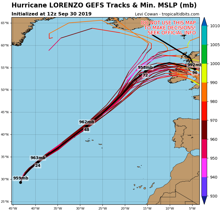
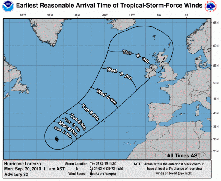
For now, 12z GFS, ECMWF and UKMO roughly agree on a very deep depression spinning northeast to close to the west then north of Ireland on Thursday, bringing a threat of severe gales or storm force winds to the island, possible hurricane force along exposed western coats, before the low turns east then southeast across northern and central Britain on Friday, weakening as it does so, but still bringing heavy rain and gales. This storm will also generate significant swell and push enormous waves towards NW Europe.
However, the forecast track may still change, so worth keeping an eye on updates over the next few days, Ireland and northwestern UK look to see the biggest impacts from wind, rain, dangerous surf and coastal flooding, before the system weakens as it tracks east and southeast across the UK.
Loading recent activity...


.png?w=1200)