Do you have recollections of windy weather earlier this month being named Storm Doris? This is real Doris bringing gales and snow early Thursday.
No, officially it wasn't. Storms are named by the Met Office or Met Eireann, from the pre-made list which is issued at the start of the winter. The list of names comes from suggestions from the British and Irish general public. For a storm to be named the impacts of the severe weather need to have warranted an Amber warning.
Although, if you search on twitter there are a good lot of mentions around early February
Several people in the media decided to jump the gun about the next named storm, earlier this month, and name it themselves, ahead of the official announcements. A few of these sources are often responsible for spreading terror stories about killer floods, killer heatwaves, worst winter for 10/50/100 years, 20 foot of snow, sub-zero mega freeze thanks to polar vortex. They always lob in a Met Office quote to confuse the story but it takes careful reading to tease out who said what.
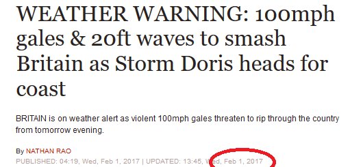
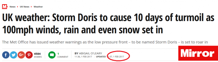
The Mirror headlined Storm Doris on Jan 31st and Feb 1st before it’s Feb 3rd subheading admitted
“the storms has not been named Doris yet, contrary to reports”
That will be your own reports.
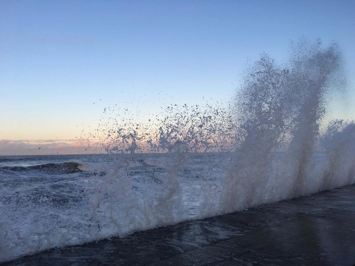
This mis-information in the headlines, led many people to associate a spell of wet and windy weather with Storm Doris. There were deep areas of low pressure out in the Atlantic at the start of February, but one went up to Iceland, another nearer to the Bay of Biscay. A yellow warning for strong winds was issued for southern England but it was not enough of an event to reach Amber status.
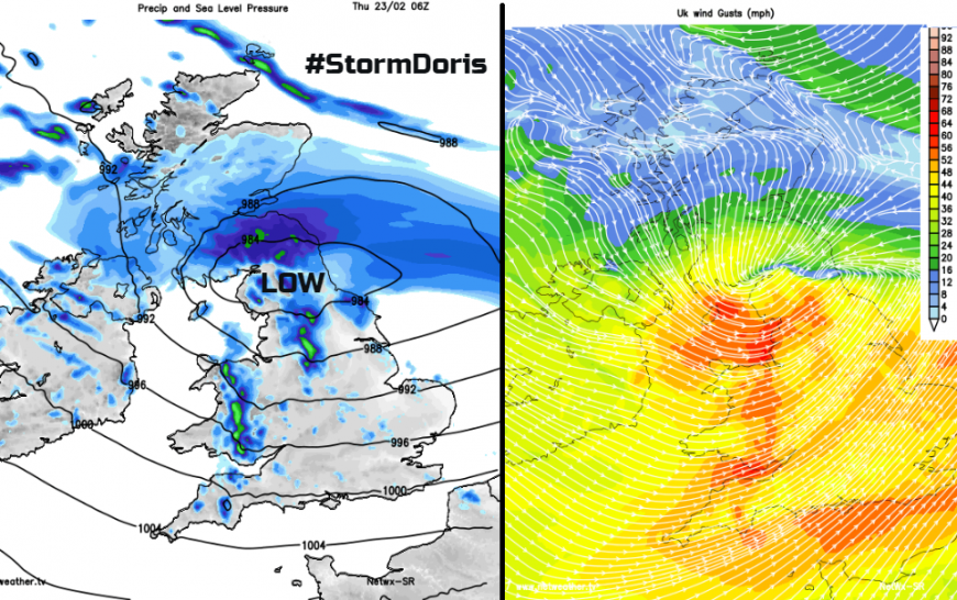
#StormDoris has now been named for a severe weather event on Thursday morning. There is an amber warning for Winds and a yellow warning for Snow. More details coming up about the Real Storm Doris.
The warnings are for isolated 80mph gusts, not 80mph winds.
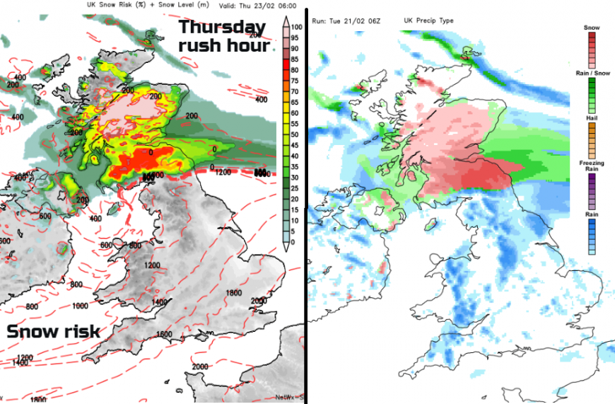
There could be slight variations with the path of the low, it's depth and if it does rapidly deep over the UK. This means there could be changes for areas seeing the strong winds, over 70mph forecast with Wales and northern/central England into East Anglia looking more prone for gales, at the moment. Also, how the rain interacts with the cold air to the north, which is giving the snow risk for southern Scotland particularly but also looking wintry for Northern Ireland, northern England and more of central Scotland too.
How the storms are named
Met Office warnings http://www.metoffice.gov.uk/public/weather/warnings
Doris http://www.metoffice.gov.uk/barometer/uk-storm-centre/storm-doris
Loading recent activity...