


Winds stay light for the rest of today. A few showers could develop near the North Sea coasts of eastern Scotland and north-east England, on the Isle of Man and along the Kent coast, with a 20 to 40% chance of catching one there. Afternoons of 8 to 13C are near or a little below average for early November, mildest in Cornwall. With barely a breath of wind the air is stagnant, and Defra is reporting very high pollution levels in London, south-east and eastern England, north-west England and the West Midlands.
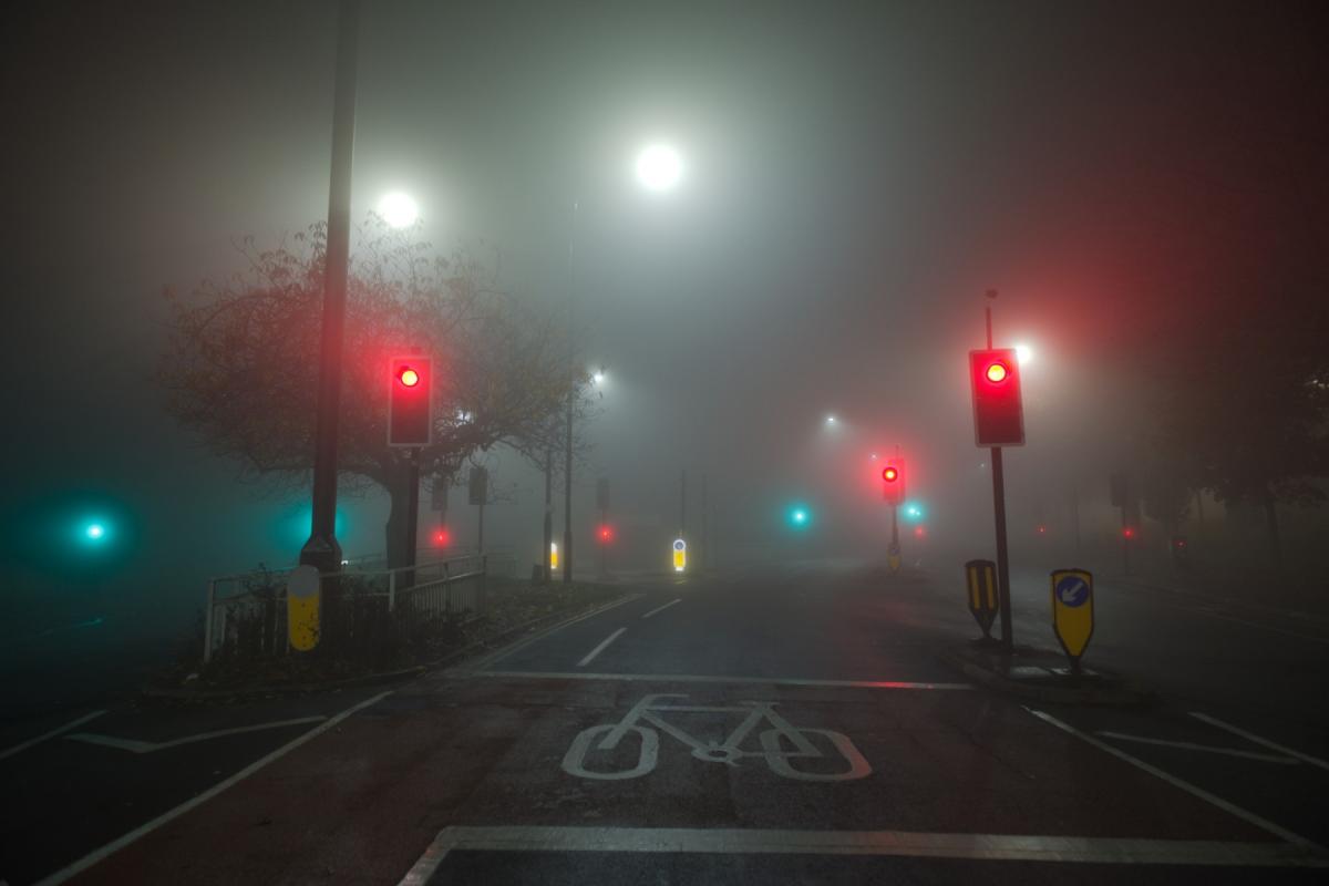
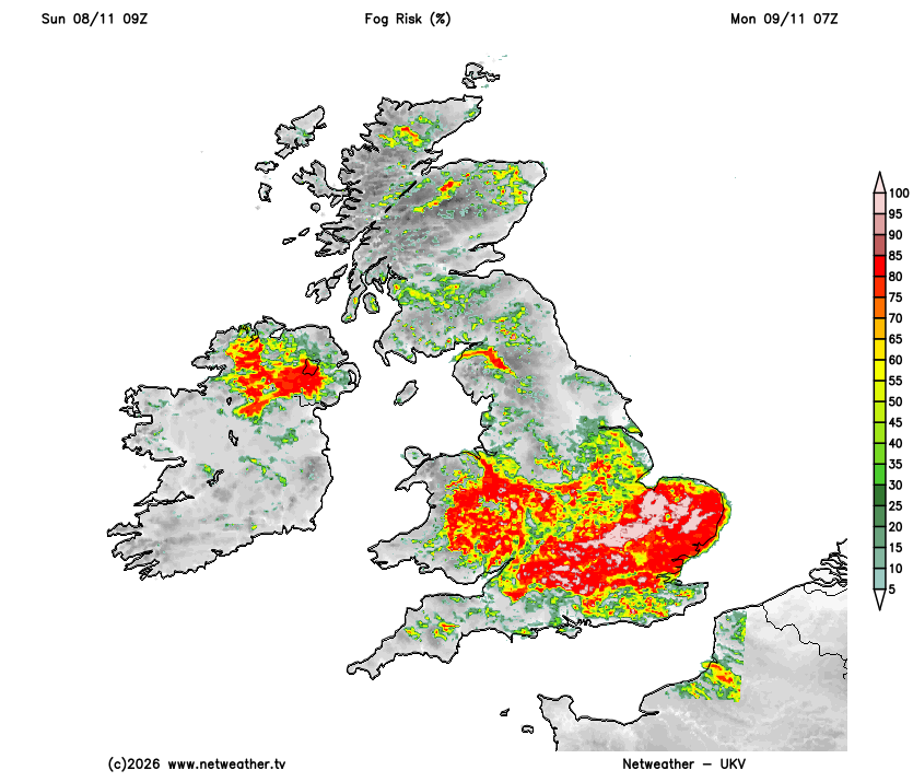
Fog is expected to form again tonight. The Met Office has yellow warnings for it from 6pm until 11am on Monday across most of England and Wales, from Yorkshire and Merseyside down to the south coast.
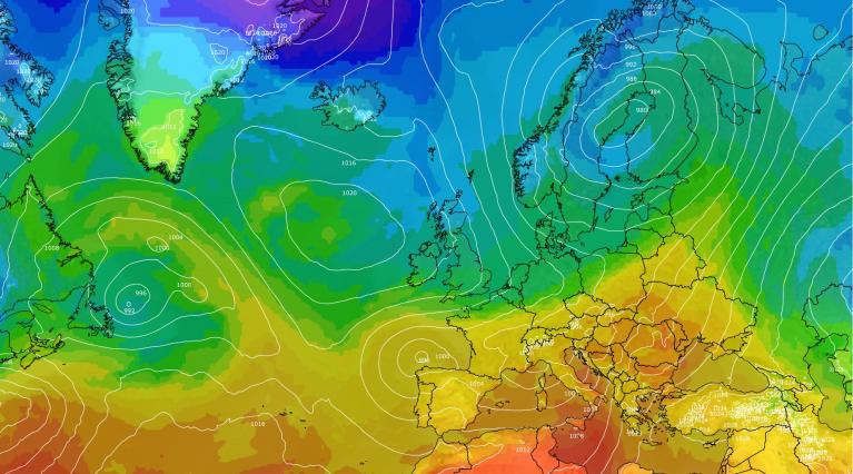
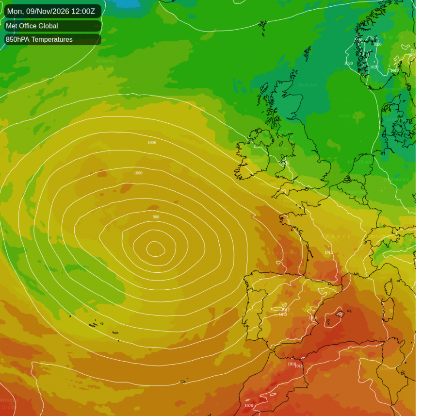
Once the fog clears, Monday should be mostly dry and bright, though a shower is possible near the south-east coast and in northern Scotland. A deep area of low pressure far out in the Atlantic edges north-east towards the Western Approaches, and on its northern flank an easterly wind picks up across southern Britain. By evening, gusts of 45 to 55mph are possible near Land's End and on Dartmoor, the strongest over the high tors. Rain from the low should reach west Cornwall around midnight.
On Tuesday the low arrives west of Brittany. Its occluded front, where the warmer air has been lifted off the ground, edges north across England and Wales. Rain covers Cornwall and Devon by dawn and south Wales and the south coast by midday, then spreads across Wales, the Midlands, southern England and East Anglia through the afternoon. It will be heaviest over the Welsh hills, Exmoor and Dartmoor, with heavy bursts along the Dorset and east Devon coast in the evening.
By late evening the northern edge of Tuesday's rain is expected to lie roughly from Merseyside to the Wash, and north-west and north-east England have a 50 to 60% chance of some by then. How far north it gets is still open. One of our models keeps the band a little further south. In northern Scotland showers are likely along the north coast early on Tuesday, but southern Scotland stays dry. Northern Ireland and the Isle of Man have no more than a 30% chance of rain.
Temperatures on Tuesday vary sharply across the south-west, from 13 to 14C on the coasts of south Devon and Cornwall to about 7C in Somerset and on Exmoor. Wednesday no longer looks mild in the south. Yesterday's forecast had 14 to 16C widely across southern England and south Wales. Now 9 to 12C is more likely, with 13 to 14C confined to the Cornish and south Devon coasts.
The low then stalls west of Brittany and fills only slowly, while high pressure builds to the north-west. Tuesday's front fades over the Midlands and East Anglia early on Wednesday, and rain is likely overnight across much of England and Wales, from Lancashire and the north-east down to the south coast. Wednesday afternoon should turn drier in southern England, although the rain may linger there. Showers keep returning to the far south-west near the low, the heaviest of them just offshore.
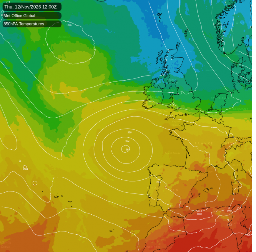
By Thursday the wind has turned north-easterly and freshened again, with gusts of 45 to 50mph possible on Dartmoor. There is a 40 to 60% chance of rain on Thursday from the south-west coasts and south Wales across the south-east, East Anglia and the Midlands, highest in the south-west, though exactly where it lines up is uncertain. North-west England, southern Scotland and Northern Ireland look mostly dry.
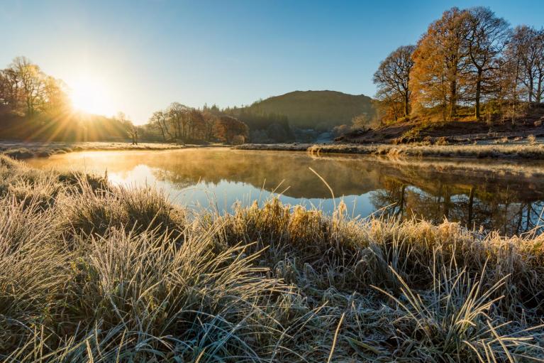
Clear skies over Scotland and northern England, nearer the high, mean a frost every morning from Monday to Thursday. The Highland glens drop to around -2C on Monday and about -4C on Tuesday. That morning the Tyne valley falls to around -3C and parts of Cheshire to near -2C. On Thursday morning the frost is expected to turn harder across northern England and southern Scotland, around -4C in north Cumbria and the Tyne valley, and down to -5C in the eastern Highlands. Thursday afternoon is likely to be very cold in Perthshire and the Highlands, 1 to 3C.
Northern Scotland turns showery on Wednesday afternoon around Caithness, Orkney and Shetland. In Shetland there is around an even chance of a shower on Wednesday evening, cold enough for most of it to fall as sleet or snow. How much colder air reaches eastern Scotland on Thursday is uncertain: the Met Office model and the American GFS bring a stronger northerly, while ECMWF keeps it weaker.
Loading recent activity...