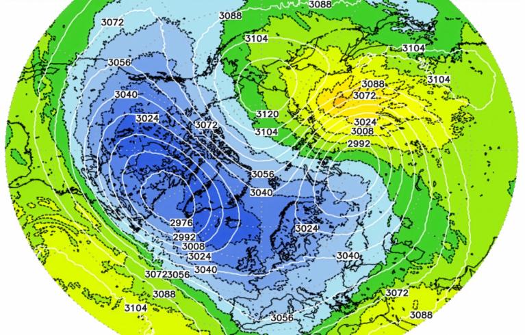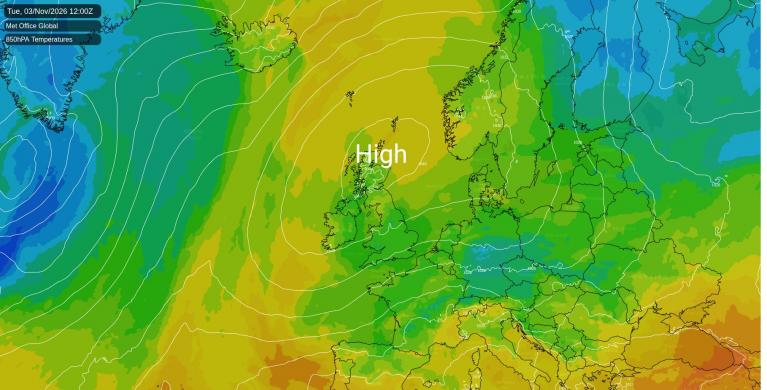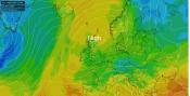



High pressure just north-west of Scotland keeps the wind in the east today, freshest around the Irish Sea, where gusts of 30 to 35mph are likely on the Isle of Man. Temperatures should get to 9 to 12C this afternoon. That is rather cold for early November in Wales and southern England, about three degrees below average, but close to normal in northern Scotland and Northern Ireland.
Showers are likely near the north-east coast of England this afternoon and in Cornwall and Devon from late afternoon, and Belfast has about a 70% chance of rain this evening. Northern Scotland could catch a shower too, and the south-east has a smaller chance of one this evening. Southern Scotland, Wales and north-west England have a lower risk of a shower, and the Midlands and East Anglia should stay dry this afternoon and evening. Tonight the Hebrides stay clear, so expect a touch of frost on the ground around Stornoway, with the air near 1C by dawn on Friday.
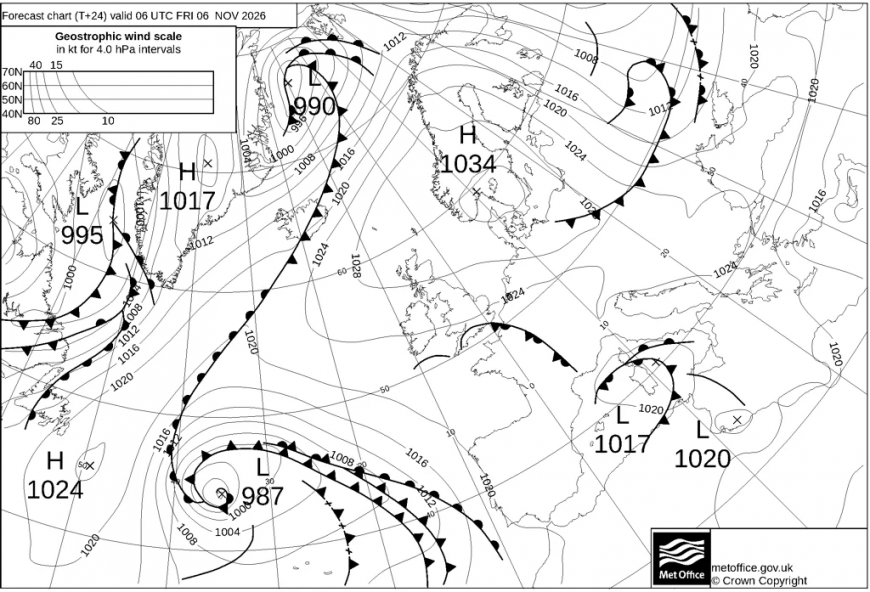
On Friday the high weakens and drifts east towards Norway, while a weak, fading front edges north-east across England and Wales. It reaches Devon and Cornwall in the small hours, then crosses Dorset, Hampshire and Wiltshire, south Wales and the Midlands during the day and arrives in north-west England by evening. Rain is likely in the south-west, and there is about an even chance of some across Wales, the Midlands, the south-east and the east of England. Fife, the Lothians and Belfast share that chance early in the day. The rain is mostly light, with nothing more than a millimetre or two for most places it reaches. Northern Scotland, north-west England and north-east England are less likely to see any. Friday afternoon runs to 9 to 13C, mildest in the southwest.
By Saturday pressure is slack and almost flat across the country, so winds are light and variable. The last of the front carries patchy rain across Northern Ireland, the Isle of Man and Cumbria into north-east England around midnight on Friday night, fading through Saturday morning. Southern Scotland, Belfast and north-east England are as likely as not to see some drizzle on Saturday. Northern Scotland, north-west England, Wales and the Midlands have a 30 to 40% risk of rain. East Anglia and the south-east have a smaller one, and the south-west is dry.
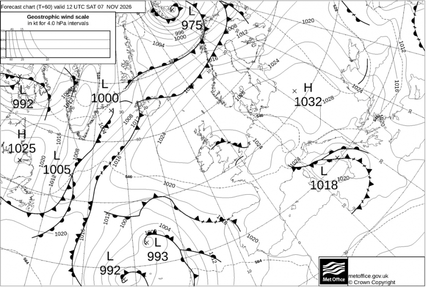
Clear spells bring frost to the south and west over the weekend. Pembrokeshire and mid-Wales are already frosty on the ground by Saturday morning. Cloud breaks over south Wales and south-west England on Saturday afternoon. By dawn on Sunday a ground frost is likely in inland Dorset, Wiltshire and Somerset, across Herefordshire and mid-Wales and on the Chilterns, with the air at 2 to 3C.
Sunday starts with patchy drizzle in Fife, the Lothians and north-east England, where the chance is around 60%. Northern Scotland, north-west England and the south-west could see a shower on Sunday, Wales and Northern Ireland probably not, and the Midlands, East Anglia and the south-east should be dry. Sunday afternoon should reach 8 to 13C.
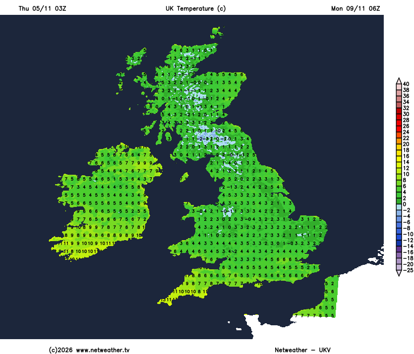
With little wind and clear skies on Sunday night, Monday morning is likely to bring a frost across much of Scotland, northern England, the Midlands and East Anglia. Air temperatures could fall to around -2 to 1C widely inland, and to -3 to -4C in the coldest valleys of the Scottish Borders and Northumberland. Monday afternoon is expected to stay rather cold in Scotland, 6 to 9C. Yesterday's forecast had a frost forming in inland Northern Ireland on Sunday evening; this morning's figures keep Northern Ireland frost-free.
There is no settled answer for Monday in the south-west. Low pressure deepening west of the Bay of Biscay sends an east to south-easterly wind into Cornwall, Devon and the Channel. The Met Office's global model, which our figures follow, brings the low close enough for gusts of 40 to 50mph by evening, strongest around Land's End and on the edge of Dartmoor. In that version rain clips the Isles of Scilly and west Cornwall from dawn. By evening there is a 60 to 70% chance of rain along the south coast from Cornwall across to Kent, and around 50% in south Wales. ECMWF and the American GFS keep the low further south-west, which would leave the wind lighter and the coast drier.
Further north Monday is mostly dry, with a low risk of rain. Cornwall could see the mildest afternoon, 13 to 14C.
Loading recent activity...