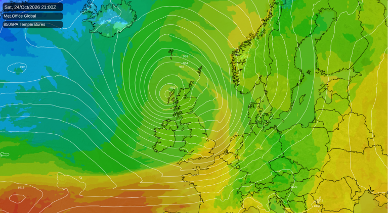
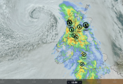
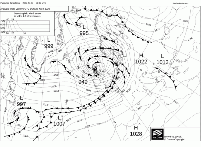
Storm Boelo crossed Northern Scotland in the early hours, with a central pressure falling as low as 948.1 hPa, which is just shy of the current UK October lowest mean sea level pressure record of 947.9 hPa of Storm Amy in 2025. The centre of Boelo is now moving northeast over the Norwegian Sea today and will arrive along the Norwegian coast tonight, having weakened by then.
Storm Boelo's position over N Scotland at midnight last night
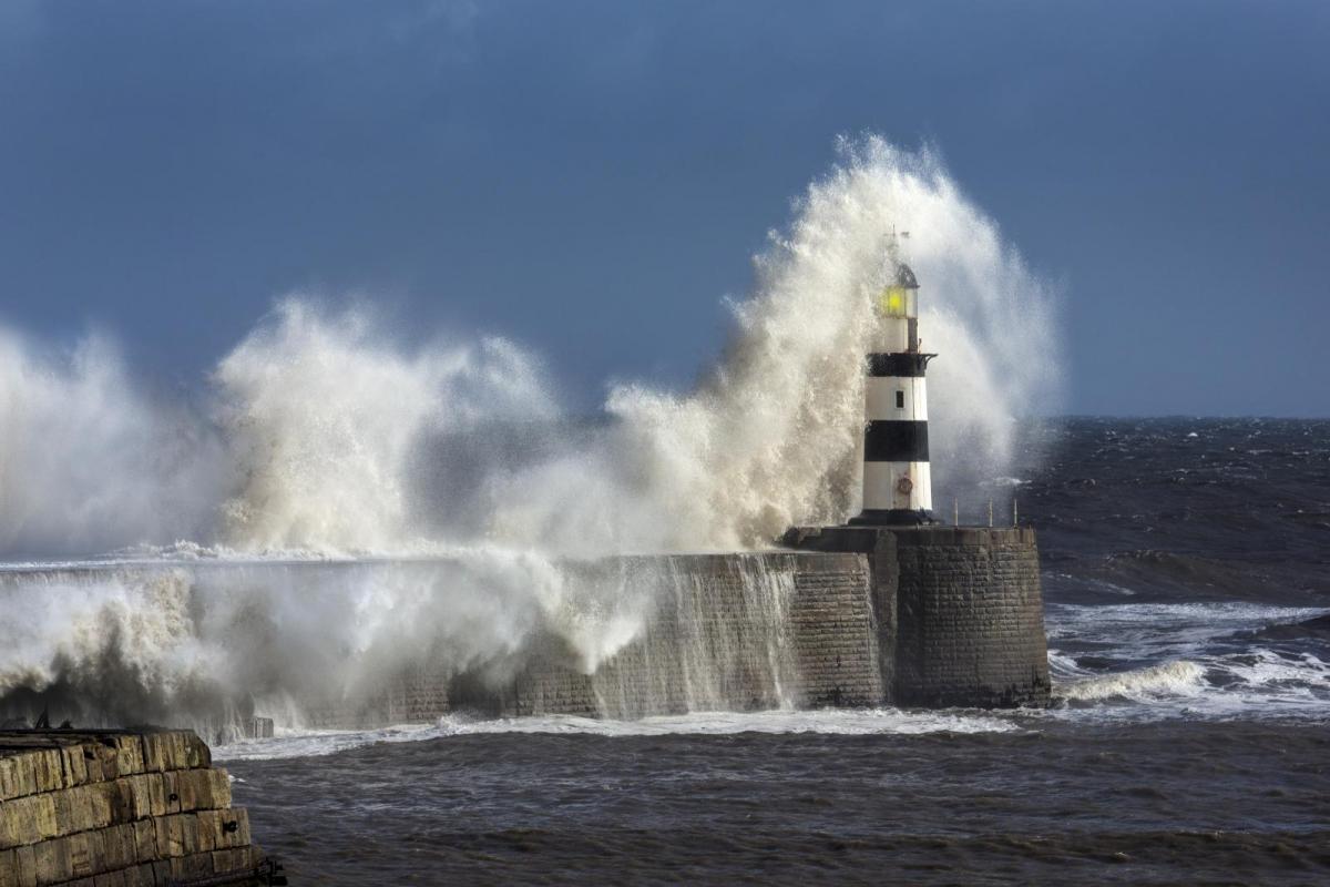
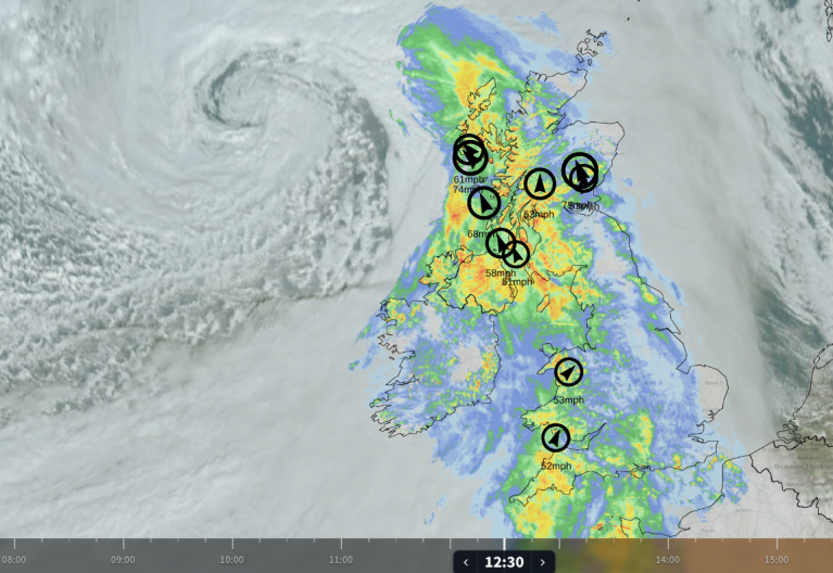
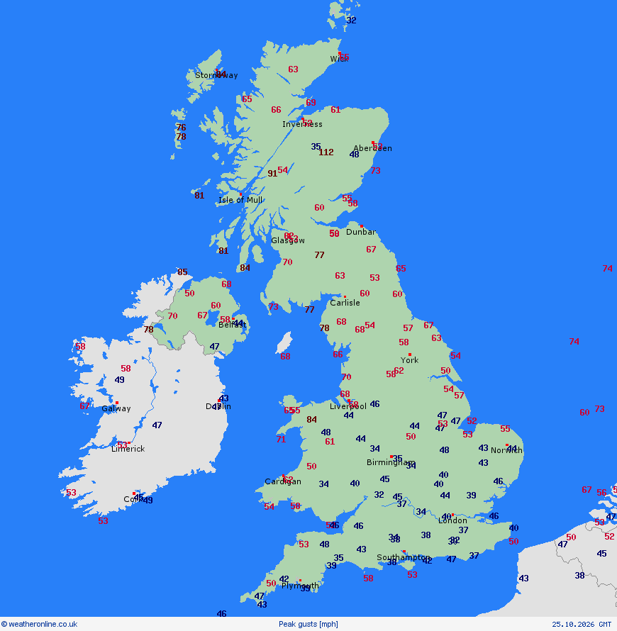
It is still rather windy out there so far this morning, especially in the north, with gusts of 60-70mph common across northern England, north Wales, Northern Ireland and Scotland, over 80mph in exposed locations in the northwest.
Amber weather warnings remain active across Scotland and parts of northern England until 9:00pm tonight. More than 83,000 homes are without electricity across the north of the UK.
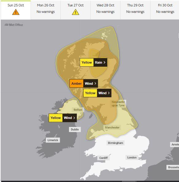
More than 1,500 flights have been delayed or cancelled at major hubs, including London Heathrow, Manchester, Edinburgh, and Glasgow. ScotRail has suspended lines south and west of Kilwinning, alongside complete closures of the Oban, Mallaig, Wick, and Kyle of Lochalsh routes. Severe speed restrictions remain in place across the rest of the northern rail network. Irish Sea ferry crossings operated by StenaLine, P&O, and Irish Ferries have been entirely cancelled.
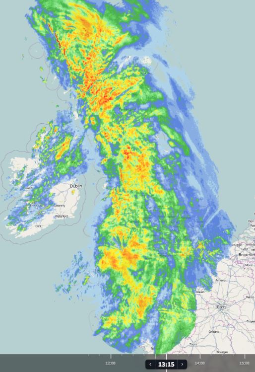
Storm Boelo also brought a lot of rain across the UK on Saturday, at one point yesterday afternoon, it was raining pretty much across the whole of the UK simultaneously. Relentless downpours and coastal flooding from the sea across western Scotland caused some significant flooding, with Saltcoats and Largs on the Scottish west coast, seeing streets flooded where parked cars were completely submerged.
This doesn't happen very often, raining across all the UK early Saturday afternoon
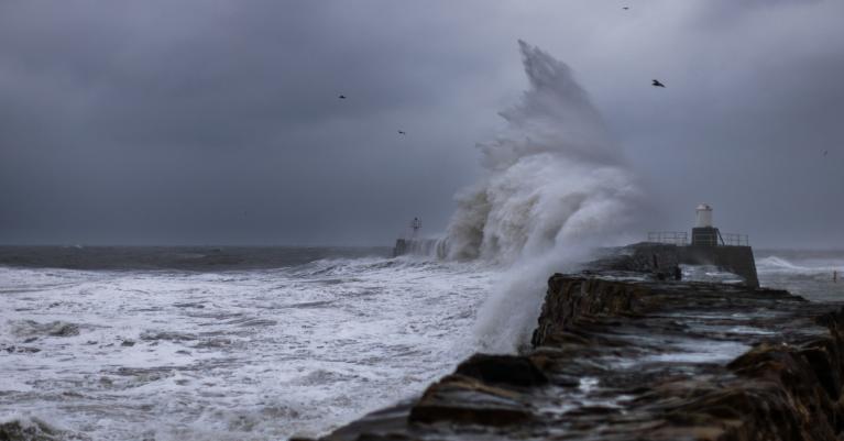
Although Storm Boelo is moving away, it will continue to bring strong westerly winds through the day, with gales or severe gales in the north and gales around coasts and hills further south. Heavy showers and longer spells of rain will continue throughout the day across the north, with snow over higher Scottish mountains. Southern areas generally drier with some sunny spells, though showers across SW England and Wales.
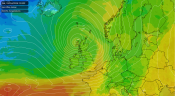
Monday offers no real break after Boelo. Another area of low pressure out over the Atlantic approaching the UK could bring more wet and windy weather on Monday across all parts. This next deepening low was previously subtropical Storm Josephine, which brought coastal flooding and strong winds to the eastern seaboard of the U.S. during the past week. Though the system has since weakened, it will deepen again over the next 48 hours, as a sharpening upper trough moving out of Canada engages the low and eventually pushes it into the left exit of a strong jet stream - where it will undergo explosive cyclogenesis.
Next deepening low arrives to the northwest early Tuesday, brigning more gales and rain early next week
Although this next deepening depression will track further north than Boelo, it will bring strong winds to northern Britain on Tuesday, with possibly damaging gusts. A yellow wind warning running from 3am on Tuesday to midnight, covering northern parts of the UK. A band of rain will clear the east during the morning, followed by brighter but windy conditions with showers in the west.
From midweek - there are signs conditions could improve, with brighter spells and mostly dry weather becoming more widespread, as high pressure builds from the south. Still breezy with showers in the north and west on Wednesday morning, but these easing in the afternoon with most dry and bright. Thursday mostly settled conditions for all parts of the UK. Friday starting off fine in the east, but wet and perhaps windier conditions spreading in across the west during the day. Some uncertainty into the weekend, Halloween on Saturday, could see overnight rain clearing northeast first thing, but becoming drier and more settled again for most for the rest of the weekend, bar a few showers in the north and west, but this may change.
Loading recent activity...