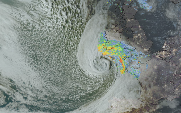
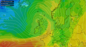
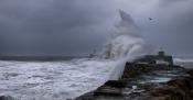
We are currently in a stormy spell of weather with some deep depressions crossing the country. Yesterday's storm was named Austen, and particularly affected the south and south-west of Britain. Part of Brighton's abandoned but iconic West Pier collapsed, and around 30,000 homes were without power for a while. It is estimated that as of this morning over 5,000 are still without power. Several flights from Exeter Airport are cancelled. The Channel Islands have been particularly affected, with gusts of up to 84 mph measured so far in Jersey. Some data only come into the Met Office at the end of a calendar month, so higher gusts may officially be confirmed later.
I had thought leading up to the event that had the depression tracked a few hundred miles further north, it could potentially have been similar to the Great Storm of 1987, which brought widespread destruction especially to south-east England. Like the storm on 16 October 1987, Storm Austen's winds were strongest on the southern flank of the system, sandwiched between high pressure to the south, while much of Britain missed the strongest winds because there was less of a gradient on the northern flank, with a filling low already across northern Britain. France was more strongly affected by the system, with an estimated 300,000 homes without power in the north and especially north-west of France.
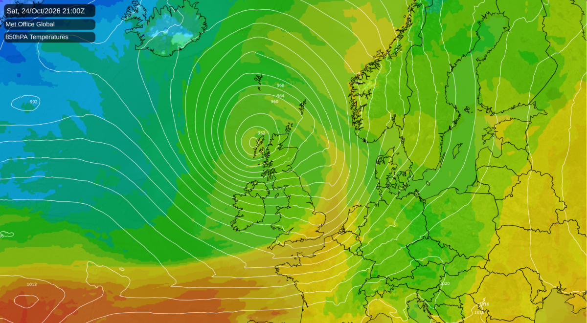
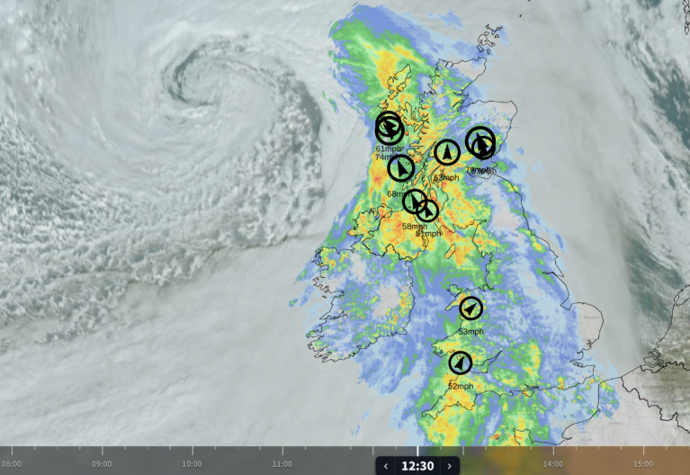
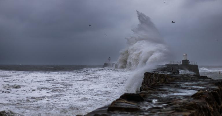
A further stormy episode is forecast over the weekend via Storm Boelo, which is taking a far more northerly track and is forecast to particularly affect Scotland, where the Met Office has released an amber weather warning and warned of gusts of up to 80 mph in exposed coastal areas, and 60 to 70 mph quite widely. The winds are forecast to peak in western Scotland this evening and to spread eastwards overnight and through Sunday.
Scotland will be affected by another notably deep low on Tuesday, which may well provide our third named storm of the season in quick succession. The Met Office has already issued a preliminary yellow weather warning for Scotland for Tuesday.
I have seen some people connect the current stormy weather with El Nino. It is true that El Nino is often associated with wet and windy weather late in the season, but I would be a bit cautious in making the connection during the current spell, as El Nino years often see relatively quiet, anticyclonic weather for much of September and October, before wet and windy weather piles in during November and December.
Even in October 2025, a generally dry, cloudy and anticyclonic month, a large area of north-west Europe was heavily affected by Storm Amy on 3-4 October 2025, which was similar in many respects to the storms that we are expecting this weekend and on next Tuesday. I also recall widespread flooding during a very wet spell over much of the country, particularly the English Midlands and eastern Scotland, during late October 2023. However, the exceptional El Nino event might have been contributing to the current stormy spell, and may well increase the chances of us getting some more named storms during the rest of this year.
High pressure looks set to build to the east after midweek next week, which will probably prevent the next deep depression from making a direct hit on the British Isles. There is currently some divergence in the medium range weather forecast output. The ECMWF model is going for high pressure building across Britain in 7-10 days' time, possibly with the winds turning easterly and pulling in colder continental air as well, though not cold enough for snow. Conversely, the GFS model suggests a spell of southerly winds with high pressure staying to the east, with low pressure taking back over in the longer term.
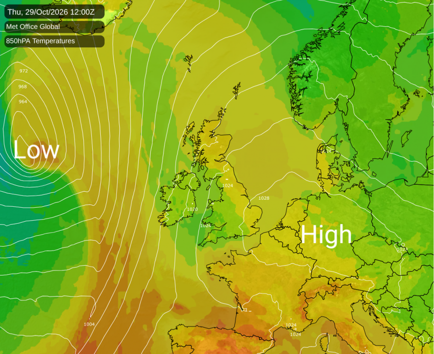
The UKMO model only goes out to 7 days ahead but looks to be more similar to the GFS than the ECMWF. The Met Office long range forecast hints at the possibility of a more widespread settled spell into early November as per the ECMWF model, but suggests a change back towards wet and windy weather towards mid-November.
I am continuing to look closely at the effects of the El Nino on global temperatures. Climate Reanalyzer is suggesting that global temperatures have returned to record highs around mid-October, after running second warmest after 2023 during September and early October, although there is not much in it. Again, this is down to the land masses, as the oceans are still comfortably record warm for the time of year, as they have been since July, boosted by the El Nino event in the Pacific Ocean.
The Arctic sea ice extent is currently looking unremarkable for recent years, though still well below the average for the late 20th century and the early 2000s. But the Antarctic sea ice extent is more remarkable. For much of early 2026, the Antarctic sea ice extent had partially recovered from its recent record lows and was running a bit lower than the long-term average but not exceptionally so. But Antarctica has seen an unusually early maximum sea ice extent and through September and October it has been dropping, reaching record lows for much of October. The sea ice extent is currently particularly low off West Antarctica.
Loading recent activity...