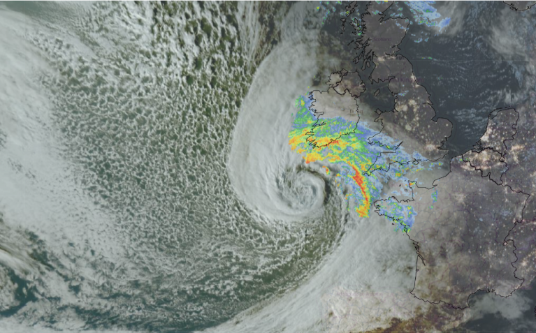
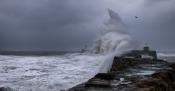
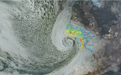
Friday saw Storm Austen impact the UK with gales and high gusts for southern Britain and the English Channel, leading to transport disruption and power outages. Next up is Storm Boelo, which will continue to bring a windy weekend across the UK but with gales later on Saturday, overnight and through Sunday for northern areas.
There is an amber wind warning for mainland Scotland, NW England into the Pennines, Co. Antrim and Co. Londonderry later today and overnight into Sunday, with a High likelihood of Significant impacts. Around the Irish Sea, over the Pennines and Cumbrian Fells, also the Solway Firth will be wild tonight. There is a wider yellow wind warning, of the same Significant impacts but with only a Medium likelihood. It is very important to understand this about the warnings. They are not simple levels of worsening conditions.
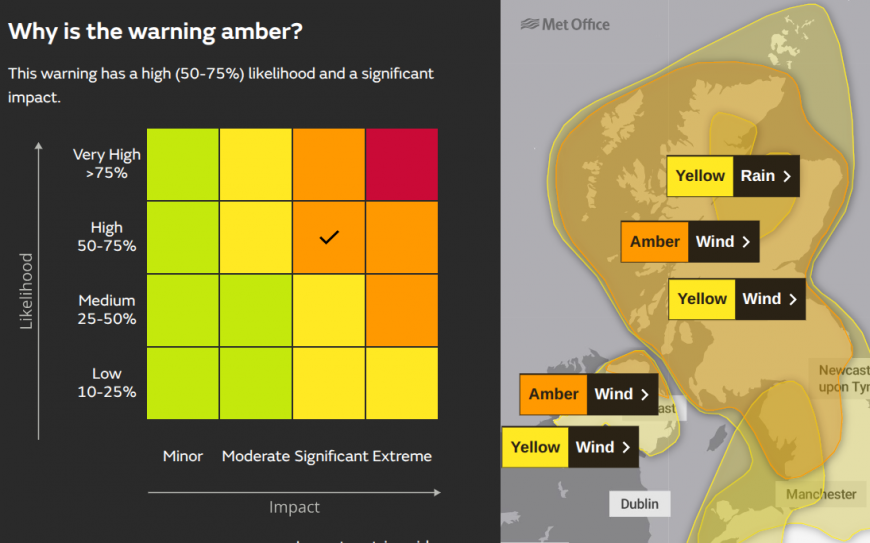
There is also a yellow rain warning for southern and western Wales and England, with a High likelihood of Moderate impacts on Saturday. Also a yellow rain warning for northern Scotland including Inverness and Aviemore from Saturday evening overnight through Sunday.
"Heavy rain associated with Storm Boelo is likely to cause some travel disruption and flooding in places." Met Office
The Environment Agency in England are warning about local surface water flooding, river flooding and travel disruption and also local coastal flooding for several days.
Natural Resources Wales highlights the risk of local inland flooding across Wales on Saturday, along with the risk of coastal flooding.
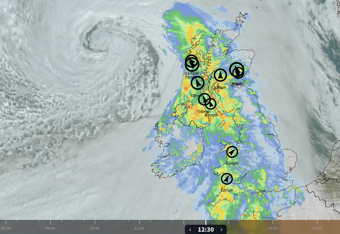
Northern Ireland and western Britain have already seen wet and windy weather from Boelo on Saturday morning. There will be heavy rain but it will be moving eastwards. In Austen parts of SE Scotland saw 50-75mm of rain on Friday (2-3”) as the rain persisted. Western upslopes will experience grim conditions in the southerly winds and wet weather, but as the main front moves through there will be stronger winds, high gusts and a spell of torrential rain.
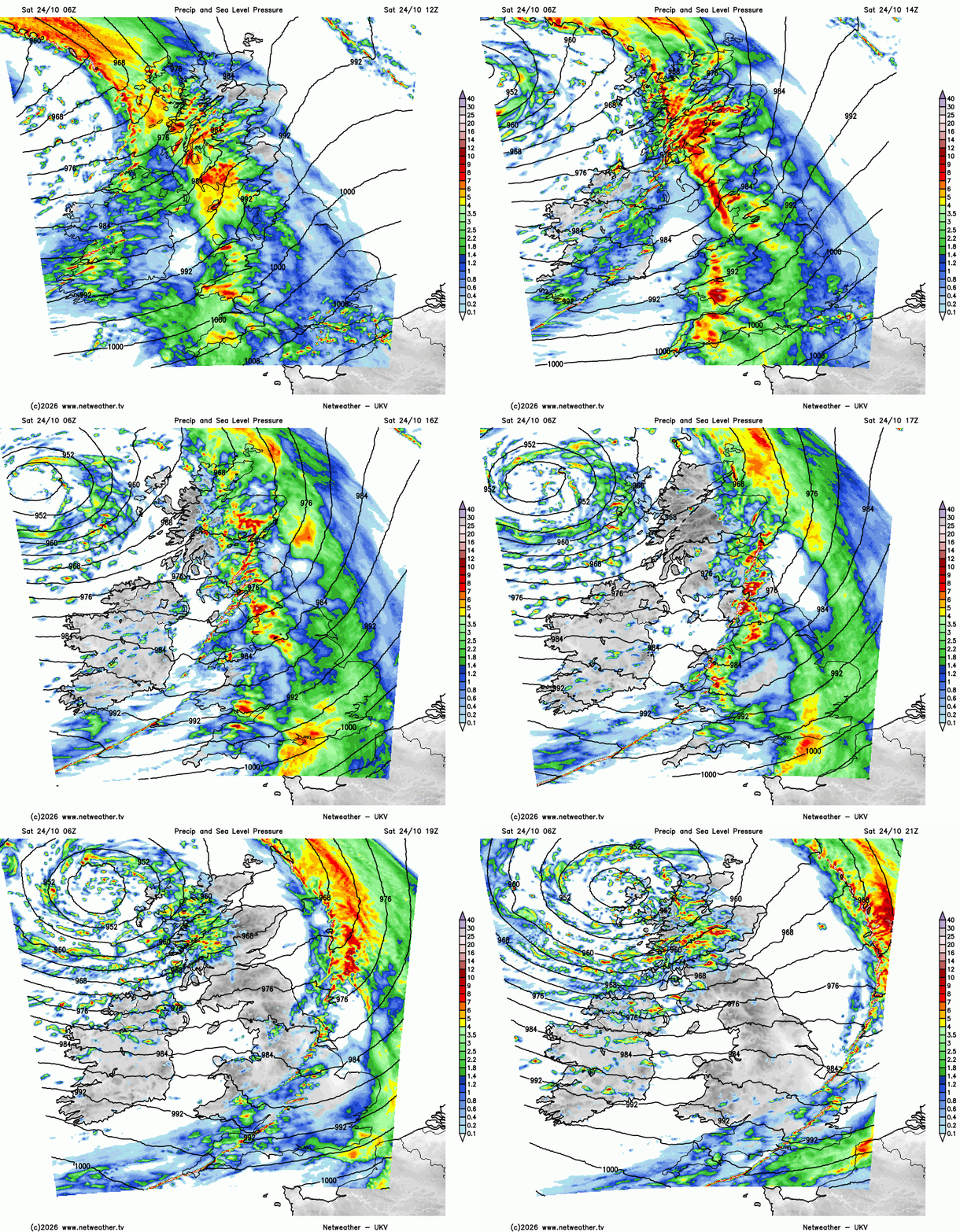
You can see the brighter coloured bands moving southeastwards on the UKV model as that front continues across Britain later today.
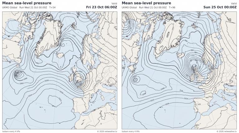
As the line convection clears SE England late evening, the low centre will be nearing northern Scotland. Around this will be the strongest winds and heavier downpours, adding to the totals over northern Scotland.
“Stormy weather is expected to affect Scotland through the weekend. Coastal flooding impacts are likely in the west and north due to Storm Boelo from Saturday evening and through Sunday. There could also be river and surface water impacts in the north due to heavy rain on Saturday and Sunday.” SEPA
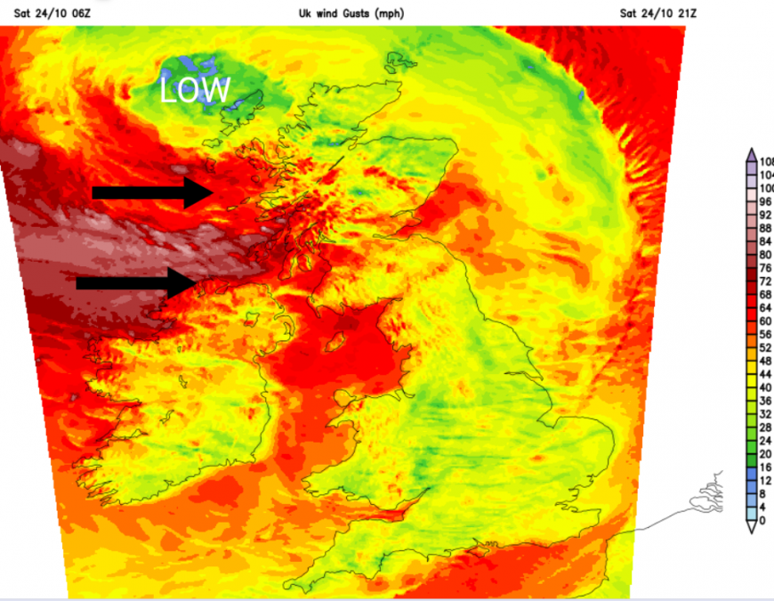
You may think that Saturday has been windy enough, but it will become more stormy tonight. Prepare now, if it is safe to do so and try to complete travel plans as early as possible on Saturday. Travel disruption is likely on Sunday. Network Rail in Scotland is already warning of line closures and train speed restrictions, with plenty of leaves ready to fall on the lines.
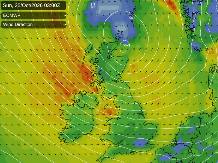
By Sunday morning, the winds will be veering to a northwesterly for western Scotland, and still the storm will be raging. Northern Scotland will have been under the centre of the low overnight with lighter winds but they are coming on Sunday. Ferry services along the west coast of Scotland are issuing cancellation or disruption notices as their port offices close for safety reasons and ferries to the Northern Isles face a “high probability of cancellation”.
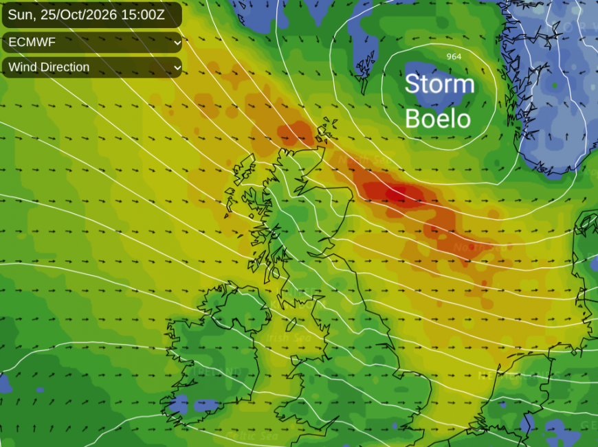
As the worst of the winds edge northeastwards on Sunday, conditions will ease and be drier further south. It may be a short lull at the end of the weekend, but there will be an improvement away from the far north by the end of Sunday. The strong jet stream is producing ideal conditions for Atlantic low pressures to develop, and currently they are aiming at the UK.
More discussion and chat on the Netweather community forum Storm Boelo
Will it be windy? Live gusts and wind speeds
Loading recent activity...