North Wales saw 21C on Wednesday as much of England and Wales basked in fine spring sunshine and warmth. There will be a lot of fine dry weather for the rest of the working week with high pressure over the UK. It won’t be as warm as we lose the direct flow from the south but still it will feel pleasant in the sunshine as temperatures rise. For many the fine weather will last into the weekend before rain appears slowly from the northwest.
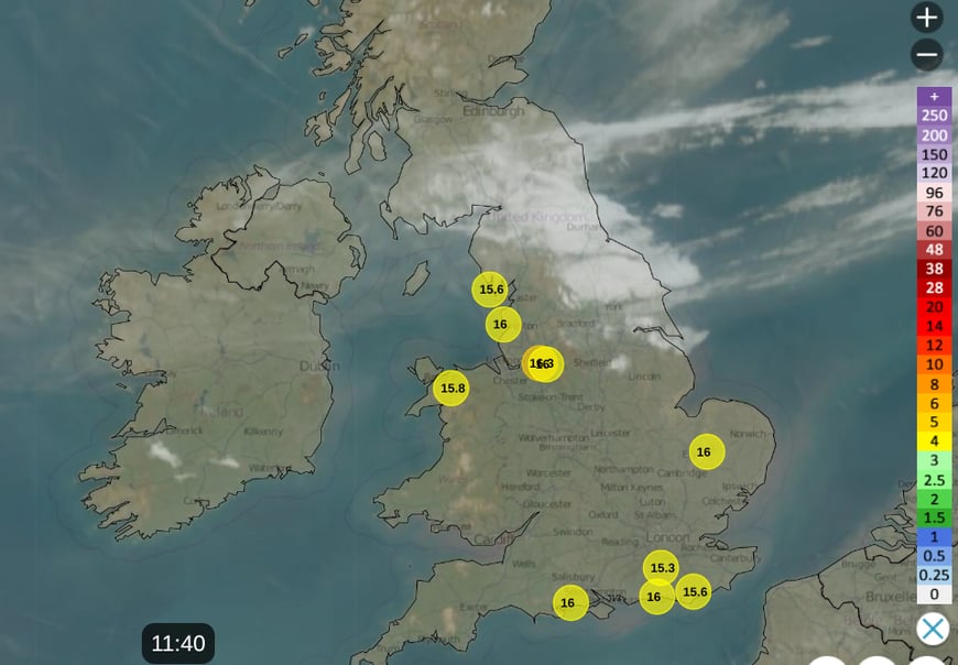
There has been a weak weather front across southern Scotland and NE England to start Thursday. This has brought more cloud with grey skies but saved the overnight temperatures from falling too far. Under clear skies other parts of the UK, to the north and south of this band had a nippy start with a touch of frost in places. There were also pockets of fog around the Humber, north Midlands and for south Yorkshire. The winds are light under the high pressure but there will be a cooler breeze from the east for Kent, the Thames estuary and along the English Channel. Western Wales and Merseyside will fare well in this flow with top temperatures of 17 or 18C, perhaps 19C for the sheltered west coast of Wales on Thursday afternoon.
Friday is the spring equinox, the start of astronomical spring
On this day, “the Sun crosses the equator, resulting in nearly equal lengths of day and night”. We’ve already had the Equilux this week, the precise day when day and night are equal.
“The difference is due to the Sun’s apparent size and atmospheric refraction, which slightly extends daylight on the equinox itself.” Met Office
And it has been lovely to see the sunshine and feel that spring is truly underway. Next week looks more changeable. But for now we have a settled few days.
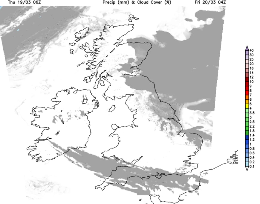
The thinning band of frontal cloud over northeastern England will sink southwards today and this evening, ending up over SW Britain tonight. In the light eastern flow there will be more murky low cloud off the North Sea into eastern Britain. Inland under clear skies it will turn chilly with a touch of frost in places and some patchy fog.
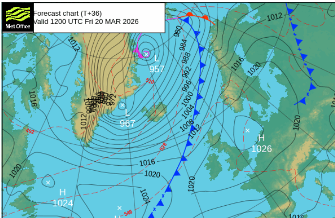
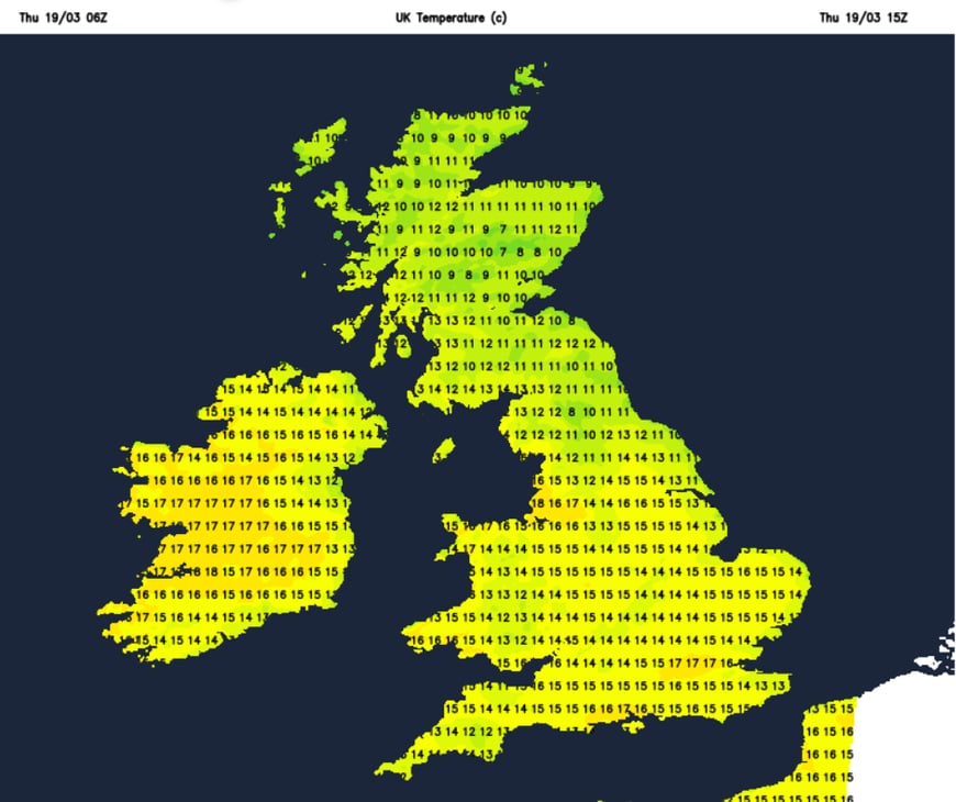
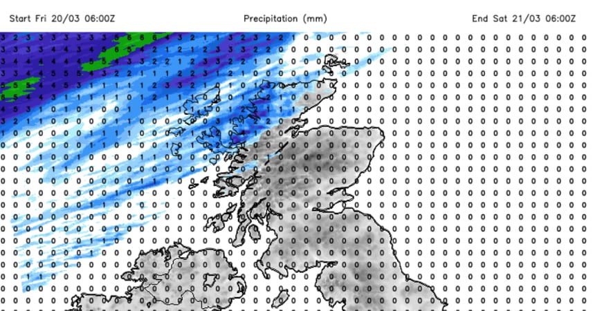
Friday will be fair and sunny or bright. Scotland and Northern Ireland will feel warmer at 15 to 17C. A fresh southwesterly wind will pick up for the Western Isles as a cold front edges in. This southwesterly flow over the Grampians might result in somewhere to the lee of high ground in Aberdeenshire reaching 19C on Friday. The patchy frontal rain won’t reach Lewis until Friday evening, so a dry day across the UK. Elsewhere it will be fair at 14 to 17C with very light winds and sunshine.
In this warmer sunnier weather there is now moderate tree pollen. Alder pollen for the dry and mild days and Birch pollen could pick up next week. Also for those with sensitivities there are high fungal spore levels, if you are sneeezxing, or feeling a tickly in your nose or throat.
“Aspergillus will be airborne over the next few weeks, on dry days, with a high risk at times. Sufferers of aspergillus often report symptoms at this time of year, particularly during mid-late March. Pleospora will be airborne during mild, dry weather.” Pollen and fungal spore forecast for West Midlands.
Weds 18th March 2026 20.9C Gogerddan, Ross-on-Wye 20.0C, 19.8C Myerscough near Preston, 14.0C Edinburgh
56 minutes ago, snowspotter said: Wow - that’s what I call a bold statement ! It's the same statements I read every single year in this forum. This timeframe holds the most interest basing on some background signals. 9 times out of 10, it turns...
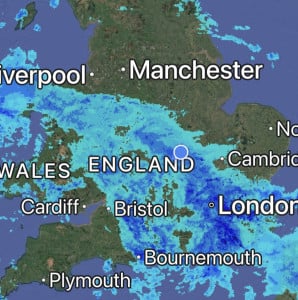
Absolutely hammering it down here, it’s so loud on the roof I can’t get to sleep 😴 Will be some big puddles in the morning, so many drains are blocked with leaves in the village 🥹
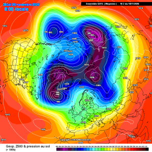
Good improvements for scandi high gefs mean
23 minutes ago, damianslaw said: Saturday morning could produce a new low for the season. Cold ridge and light winds recipe for notable chill. Could be a while before we see temperatures that low again?!

2 hours ago, Dennis said: there is heading in a new Polarvortex warming Today's ECM chart has strengthened the zonal wind mean.
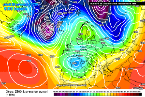
This is a pretty decent chart for late nov in a strong Nino, the Atlantic does get in briefly afterwards, but the pattern seems to amplify again. Just a casual 940 Hebrides low. Hello darkness and all that. Then, quite randomly, it’s back to...