Today sees the peak of the warmth this week, the warmest day of the year so far too for both England and Wales, with a high of 20.2C at Northolt in NW London and 20.9C at Gogerddan in west Wales. It will turn gradually cooler for the rest of the week, with maximum temperatures falling back into the low teens on Friday, as the flow switches from a mild southeasterly flow from the near continent to a cooler northeasterly flow off the North Sea.
https://x.com/bbcweather/status/2034317626877366720?s=20
It will continue largely dry and settled through into the weekend, with surface high pressure in control. Thursday and Friday seeing sunny spells and variable cloud amounts after chilly starts. Scotland likely cloudier on Friday, as a weak weather front arrives off the Atlantic.
For most, the weekend is looking dry and settled, best of the sunshine towards the south under high pressure, so feeling pleasant enough in the sun, but nights may be chilly - with a risk of frost in southern areas and also a risk of mist and fog forming in places over England and Wales in general. A breeze off from the east or northeast off the North Sea may make it feel chilly out the sun across eastern England. Temperatures reaching the low teens at best, though parts of NW England, NE Scotland and west Wales, with shelter of high ground from the breeze, may see temperatures reach the mid-teens on Saturday if it’s sunny.
High pressure generally in charge this weekend, so mostly dry, though Scotland may see a little rain on Sunday
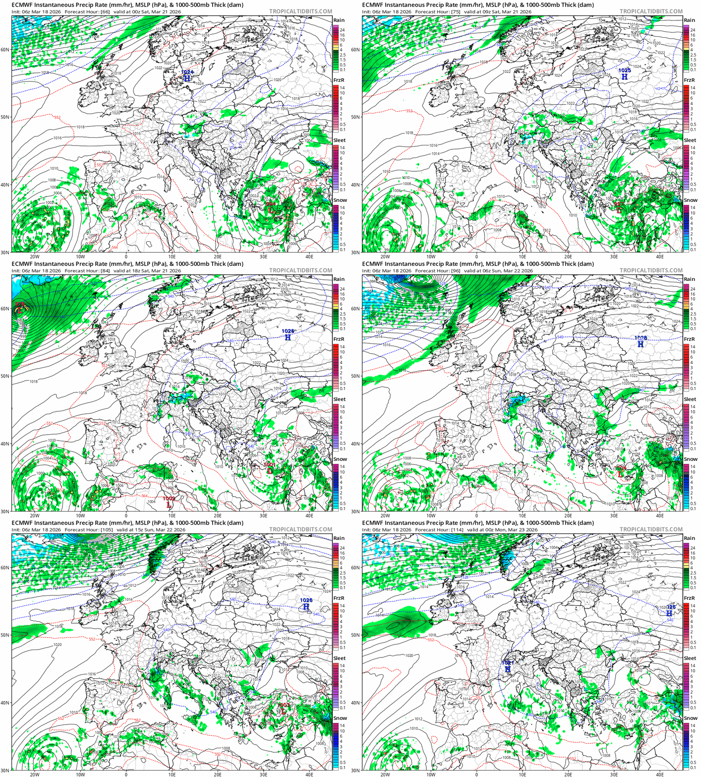
With the flow off the Atlantic in the north, here will see more in the way of cloud over the weekend, especially Sunday, though it will mean it will be generally frost-free here. Cloud looks to thicken across Scotland on Sunday, with patchy rain spreading from the west, wettest across the western side of Scotland, east coast may stay dry, perhaps turning cloudier across the north and west in general on Sunday, bright or sunny skies hanging on across southern England & East Anglia.
Looking further ahead: the weather looks to turn more changeable next week, as the jet stream that's been way to the north of the UK starts to sink south - squeezing high pressure away and allow low pressure systems to push in from the west. Possibly a colder end to the week, as winds turn northwesterly or northerly.
Jet stream shifts south into early next week, so turning more unsettled
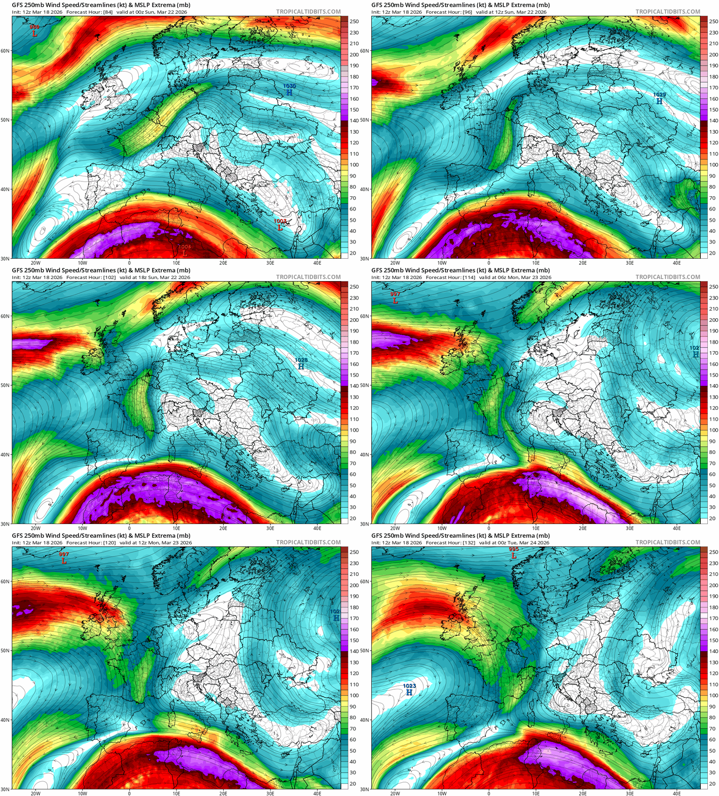
Monday may see an area of low pressure move east off the Atlantic across England and Wales, introducing cloud and rain from the west, rain clearing later in the day, Scotland could see some showery rain later too.
Perhaps a mostly dry and sunny start on Tuesday in the south, sunshine and showers in the north. Further rain may spread east across all parts by mid-week
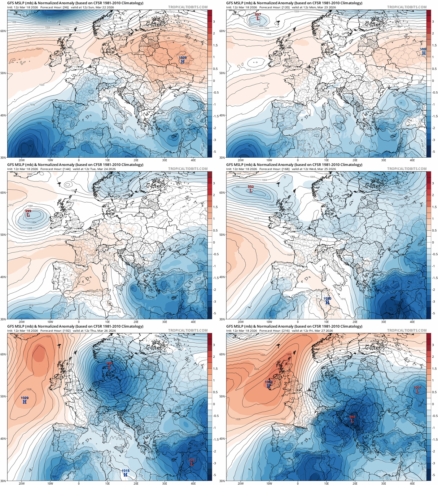
Wet and windy conditions are a possibility later in the week, as a deepening low drops southeast, followed by colder but showery northwesterly or northerly winds to end the week and a risk of frost where skies clear overnight. Showers increasingly wintry in the north.
56 minutes ago, snowspotter said: Wow - that’s what I call a bold statement ! It's the same statements I read every single year in this forum. This timeframe holds the most interest basing on some background signals. 9 times out of 10, it turns...
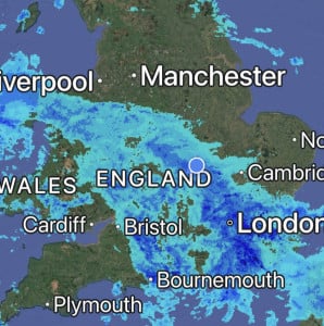
Absolutely hammering it down here, it’s so loud on the roof I can’t get to sleep 😴 Will be some big puddles in the morning, so many drains are blocked with leaves in the village 🥹
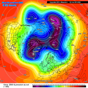
Good improvements for scandi high gefs mean
23 minutes ago, damianslaw said: Saturday morning could produce a new low for the season. Cold ridge and light winds recipe for notable chill. Could be a while before we see temperatures that low again?!

2 hours ago, Dennis said: there is heading in a new Polarvortex warming Today's ECM chart has strengthened the zonal wind mean.
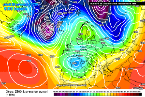
This is a pretty decent chart for late nov in a strong Nino, the Atlantic does get in briefly afterwards, but the pattern seems to amplify again. Just a casual 940 Hebrides low. Hello darkness and all that. Then, quite randomly, it’s back to...