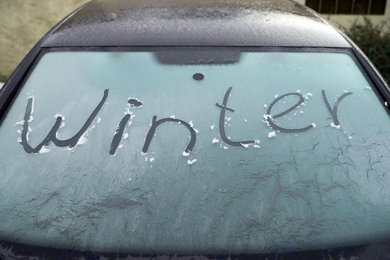
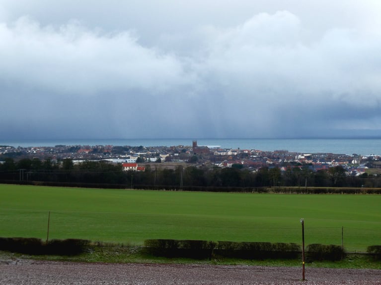
This weekend there will be Christmas fairs and markets. The shops are now in full Christmas regalia, as the halloween garb has been quickly packed away for another year. It’s still over five weeks until Christmas, but that might be time to get started with your Christmas shopping. This weekend doesn’t look too bad, weather wise although it will be chilly. There is some rain heading towards SW Britain but with uncertainty about its progress for Sunday.
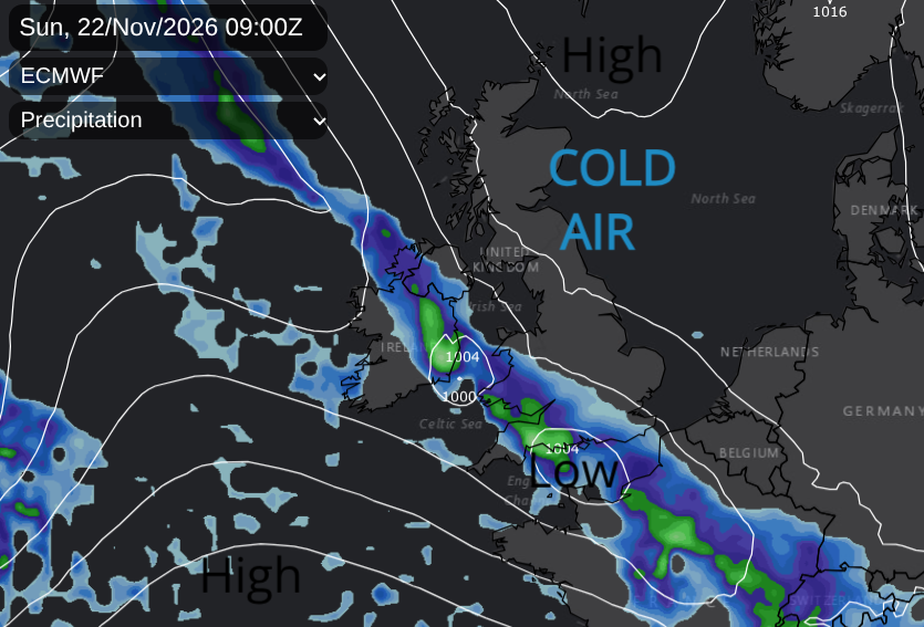
Rainband for Sunday, but the models disagree about its progress NE over the UK
In the next few days, there will be bands of rain and showers mixed with bright or sunny spells across the UK before a high pressure close to Iceland exerts its influence. This will bring drier and often sunnier weather in the north on Thursday before showers appear from the far northeast on Thursday night. The high pressure builds over the UK from the north with more dry, sunny but cold weather across the UK as the showery rain becomes confined to southern England on Friday.
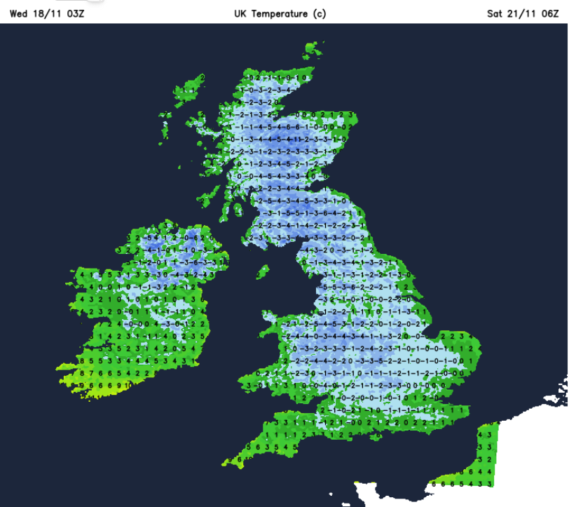
By Friday evening most of the showery rain in the south will have faded with just a few showers over inland Wales. A scattering of showers will continue from the Northern Isles into Aberdeenshire, towards Newcastle and the North Yorkshire Moors. The slight northerly flow will keep the risk of a shower and some wintry bits through the night into Saturday. For most, it will be a clear and cold Friday night with a widespread frost. There will be a severe frost in places, with fog possible for Northern Ireland and Cumbria, and fog patches for inland southern Britain.
Saturday
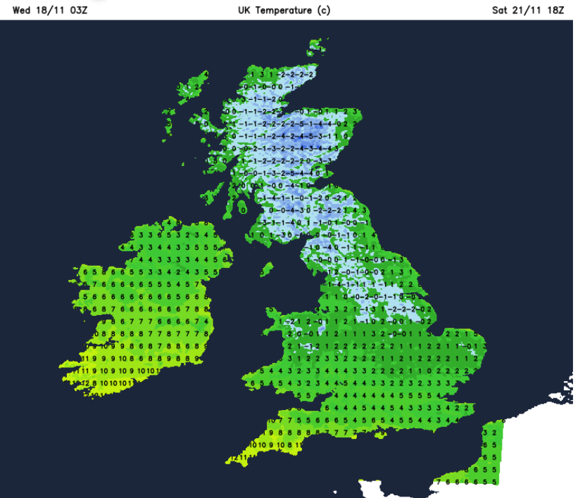
It looks to be a cracking Saturday morning with winter sunshine, very light winds and plenty of dry weather. However, it will be cold, and there will be frost on the ground and windscreens. There will be hardly any breeze for Scotland and eastern England through Saturday. However for SW England, western Wales and Belfast, a southeasterly breeze will pick up in the afternoon
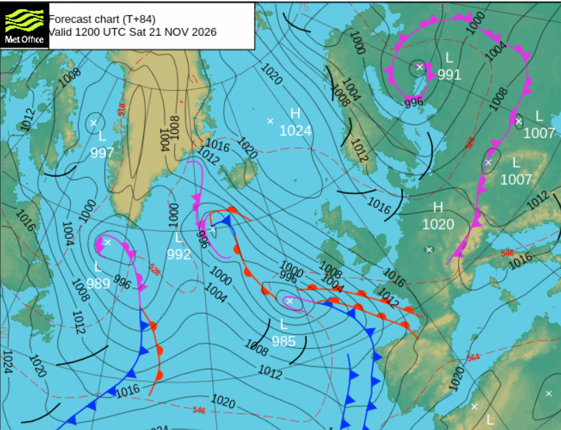
Approaching from the Atlantic is an elongated low pressure. This will throw high cloud over SW Britain during Saturday afternoon, with rain into Cornwall by the evening. This change for southwestern England will bring milder air but blustery winds too.
Sunday
For the start of Sunday there will be sunshine and cold air with frost over northern and eastern parts of Britain/ There will be a light to moderate easterly wind over southern England, and cloud cover extending over much of Wales and Northern Ireland. Across SW Britain will be the same band of rain, a weather front which could turn to snow over the Welsh Mountains around dawn. This band might be a bit further northeast, which would bring rain to Northern Ireland, the Cotswolds, even patchy rain reaching London on Sunday morning. The ECM model moves it towards the M4 whereas the GFS model keeps the rain band barely into south Devon on Sunday. So worth getting an updated forecast for Sunday nearer the time if you are in the West Country.
The easterly flow means that it will be another chilly feeling day, more so for Kent and along the English Channel with a cold east wind.
By Sunday evening we still have the cold Arctic air over most of the UK, just milder for Cornwall, blustery winds for western Scotland and not as cold for Northern Ireland. Many areas will be dry and quiet.