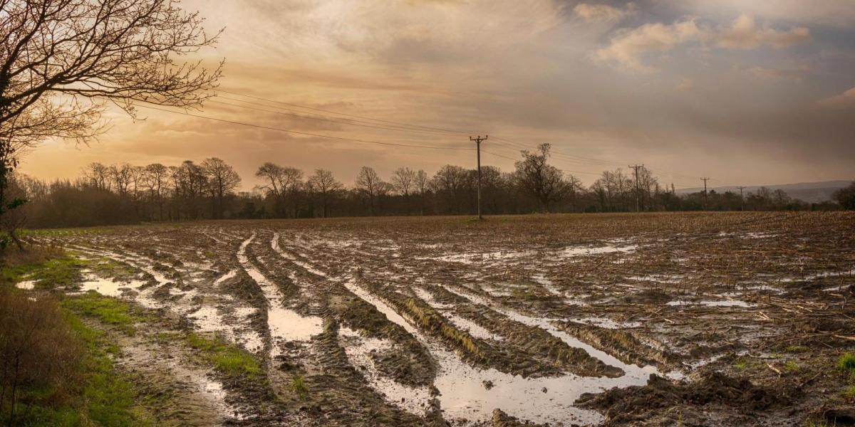
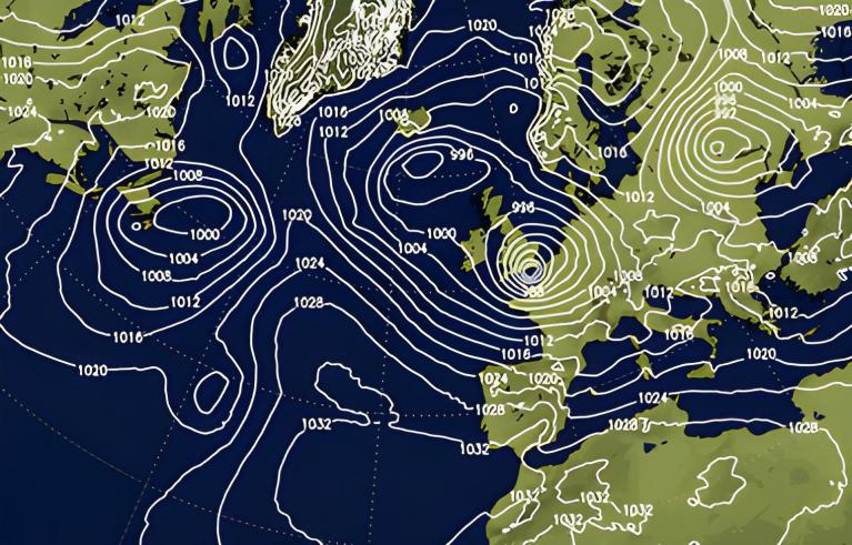
Sunday will be a transition day from the cold weather that’s persisted since before Christmas to much milder conditions to start the new week tomorrow. But coming with the milder air off the Atlantic will be quite a bit of rain at times through the week too.
Before the milder air arrives, parts of the north have seen snow and even freezing rain this morning, as a warm front bringing rain in from the west bumps into the cold air across Scotland and northern England for a time this morning and early afternoon. Yellow warnings for snow and ice are in force until 2pm today for parts of eastern Scotland and NE England. Snow will be mostly confined to higher ground over 200m and will generally turn to rain this afternoon, as milder air arrives.
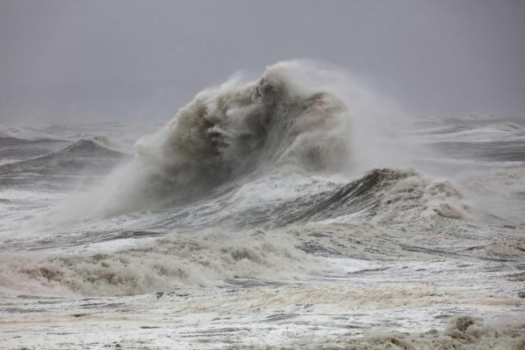
There are also yellow warnings in force until 10am tomorrow for rain across parts of western Scotland, with heavy rain combined with snow melt leading to a risk of localised flooding. Finally, there is a yellow wind warning for NW Scotland, in force from 9pm this evening through to 6am Monday, with potential for gusts of 70-80mph with exposure.

So lots going on across the north today, a spell of snow turning to rain which will melt lying snow and risk of gales in the northwest later today too. Further south, across England and Wales, cloudy and turning wet and windy from the west, milder air already across the west will spread east to all parts after a chilly start in the east.
Rain generally clearing east tonight but lingering across parts of western Scotland - where it will be very windy with gales. Otherwise, mostly dry with clear spells developing, though some blustery showers towards western coasts.
Monday will be a blustery day with a strong southwesterly wind blowing scattered showers northeast through the day, locally heavy, but also some drier and brighter spells. Some places in the south and east may stay dry. It will be a lot milder than recently, temperatures reaching 10-12C across England and Wales, 8-10C across Scotland.
Staying unsettled and fairly mild for the rest of the week. Tuesday looks to see an area of low pressure track northeast across England and Wales, bringing cloud and outbreaks of rain through the day here and in across the southern half of Scotland - where it may turn to snow over high ground.
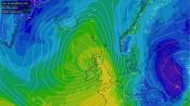
Unsettled this coming week, with spells of rain or showers, windy at times too, but some drier and brighter spells too.
Wednesday seeing a drier and brighter respite, a brief and transitory ridge of high pressure moves through, before rain moves in across the west during the evening.
A band of rain moving east across all parts Wednesday night, followed by brighter and breezy conditions on Thursday, with a few showers in the west. Outbreaks of rain perhaps arriving across the south and southwest overnight, before spreading north across England and Wales on Friday. Brighter with a few showers across Scotland.
Next weekend is likely to maintain the unsettled and generally mild theme, with potential for spells of wet and windy weather, but also some drier and brighter interludes.
No signs of widespread cold and wintry conditions returning at the moment, though there are hints that Atlantic jet stream-driven conveyor of lows may run out of steam later this month to allow high pressure lurking to the northeast to extend west, bringing colder conditions back again, but low confidence on this scenario for now.
Loading recent activity...