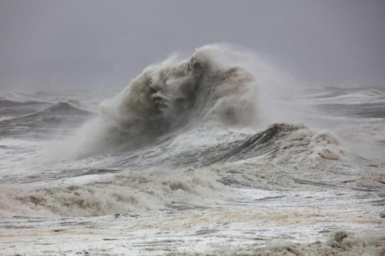
Storm Goretti is moving away this afternoon, but the cold weather isn't finished with us yet. The next few days split into two parts: continued cold with ice risks through Saturday, then a transition to milder, wetter conditions from Sunday as Atlantic air returns.
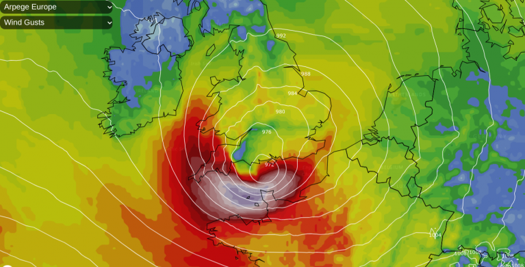
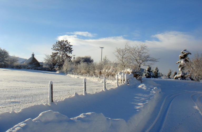
The storm has been an impactful system. A gust of 99mph was recorded at St Mary's on the Isles of Scilly, the highest there since 1991. Snow accumulations from the storm include 15cm at Lake Vyrnwy in Powys, 7cm at both Preston Montford in Shropshire and Nottingham. The coldest spot overnight was Braemar in Aberdeenshire, where temperatures fell to -13.3C.
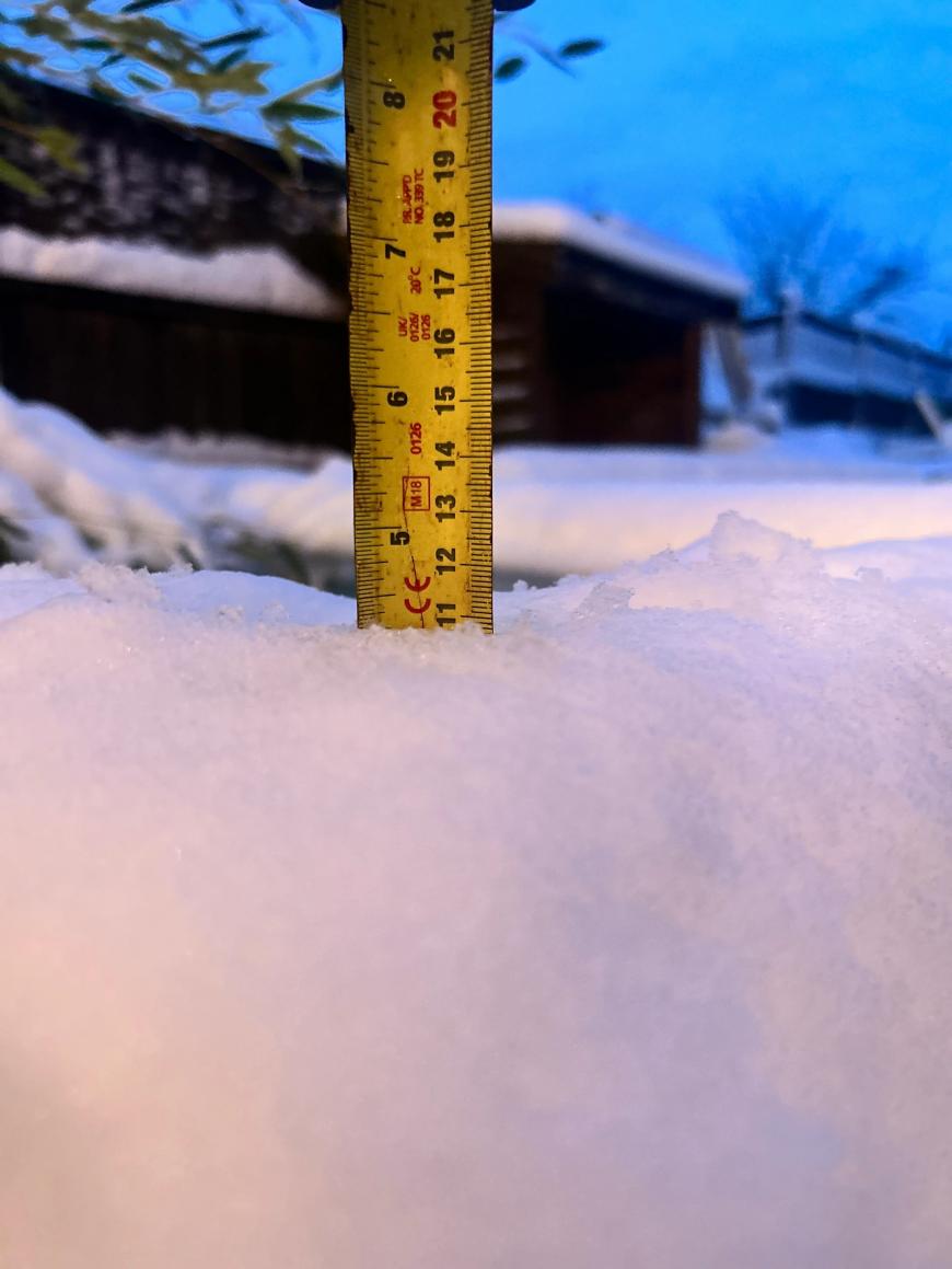
11cm of snow in the Midlands - uploaded by Kirksnow88 to the Netweather community
Rain and sleet are slowly clearing eastern England this afternoon, pushing out into the North Sea by evening. Elsewhere, expect a mixture of sunny spells and wintry showers, the latter mostly confined to coastal areas. Temperatures will struggle to reach 4 or 5C, with the wind making it feel colder.
Tonight brings a widespread frost as skies clear and winds ease. A yellow warning for snow and ice comes into force at 8pm across northern England and eastern Scotland, running through until midday Saturday. Ice will form widely as wet surfaces refreeze, and scattered wintry showers drifting inland could add a few more centimetres of snow over higher ground. In areas with lying snow and clear skies, temperatures may fall below -12C again.
Saturday offers a calmer spell, though still a cold one. After an icy start, most places will stay dry with variable cloud and some sunny spells. Winds will be lighter than recent days, though this also means frost may linger all day in sheltered inland spots.
Wintry showers will continue to feed in off the North Sea, into Eastern England and Eastern Scotland, maintaining the risk of further snow, especially over the hills. Further wintry outbreaks are also likely to affect other parts of Scotland, Northern Ireland, Northern England, and for a time at least North and west Wales. Ultimately, it's a day for warm layers and care on untreated surfaces.
The quieter weather gives way on Sunday as another front arrives from the west. There's notable uncertainty in the forecast here, centred on how the incoming mild, moist air interacts with the cold air still in place over the UK.
Where warm air overruns the cold, snow is likely. A yellow warning for snow and ice covers most of Scotland, northern England, Yorkshire and parts of the Midlands from 2am until 3pm, with further warnings possible. In Scotland, accumulations of 2 to 5cm are expected even at low levels, with 10 to 20cm possible above 200 metres. With much of this falling in areas that have already seen significant snow, ongoing disruption is likely.
Further south, the picture is a bit clearer. Central and southern England along with Wales will see much of this precipitation fall as rain rather than snow away from the higher hills, making for a wet Sunday but with less in the way of wintry complications.
Monday brings a noticeable change. South-westerly winds will push milder Atlantic air across the country, displacing the cold that has been in place for the past fortnight. Temperatures will rise to above average for mid-January, with Newcastle expected to reach 9C.
This warming will bring a thaw to the lying snow across Scotland and northern England. The combination of melting snow and further rain does raise the possibility of surface water issues in some areas. Beyond Monday, a south-westerly pattern looks set to dominate, bringing further spells of wet and windy weather but with temperatures closer to normal for the time of year.
Saturday is the pick of the weekend if you need to travel, though icy conditions first thing along with ongoing risk of wintry showers in some regions will require care. Sunday looks more challenging across Scotland and the north, with snow and strong winds affecting roads and railways. Keep an eye on the warnings, as further updates are possible. By Monday, the cold spell will be behind us, replaced by something milder but unsettled with a thaw setting in.
Loading recent activity...