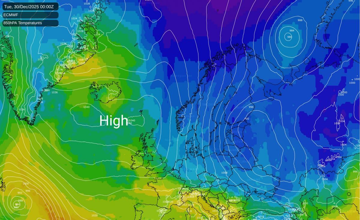
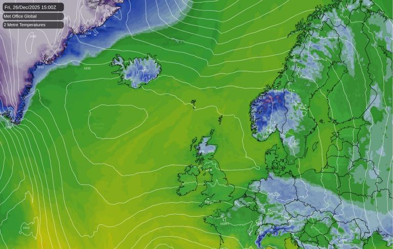
An anticyclone remains 'anchored' to the north-west, with chilly winds from a northerly quarter bringing little immediate change. So expect it to continue mainly dry but rather cold, with variable amounts of cloud.
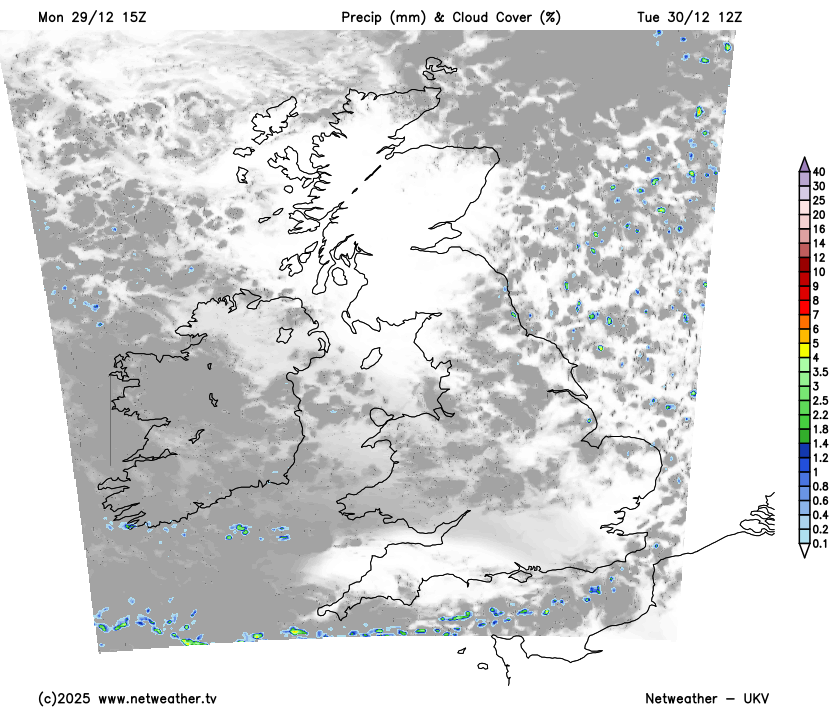
After dark, cloud amounts continue to vary. It remains largely dry, but places exposed to a mainly light northerly flow and towards the east coast will see a few light showers.
You'll avoid a frost where you keep cloud, say 3 to 5°C, but under clear skies temperatures will fall close to or just below freezing. By morning, some sheltered Highland glens, rural parts of western Scotland and perhaps Northern Ireland may see patchy freezing fog returning, where locally the thermometer could fall as low as -5 or -6°C in the coldest spots.
Tuesday should see the cloud breaking up more readily, giving a better chance of seeing some winter sunshine. Again it'll be the north and west that sees the best of the sunshine once patchy fog has cleared, but a few 'pockets' may linger once more, keeping temperatures close to freezing in these parts. Elsewhere, cloud amounts will continue to vary, with some places mainly in the east perhaps remaining disappointingly dull and overcast.
With high pressure remaining in charge, it'll stay mostly dry, but the 'top and tail' of the country will see a few showers. This will see the north of Scotland turning breezier and showery through the day, where a westerly wind could become quite strong in exposed areas. The Channel Islands, Isles of Scilly and Kent may also see a few light showers, where a cold north-easterly wind will make it feel decidedly chilly. Top temperatures mostly in the range 4 to 8°C.
As skies break further after dark, it'll be the turn of England, Wales and probably Down and Armagh to see the lowest temperatures. But it may be well into the evening before some eastern areas see clear spells developing. Frost will be more widespread, with patchy freezing fog forming in light winds in some rural areas. Lowest temperatures zero to -4°C, but perhaps a little lower than this in sheltered parts of the Welsh Marches, giving a moderate frost.
Across Scotland, mainly the northern half and later perhaps the north of Northern Ireland, it'll be less cold. There'll be more cloud in a westerly wind that'll become fresh or strong across the Northern Isles, where together with the north of Scotland some showery rain is likely.
Here, although not feeling so, it'll be somewhat milder and frost-free, but southern Scotland and across Lothian and the Borders in particular, a frost is more likely, at least for a time. Lowest temperatures 5 to 7°C in the north, -2 to +2°C further south.
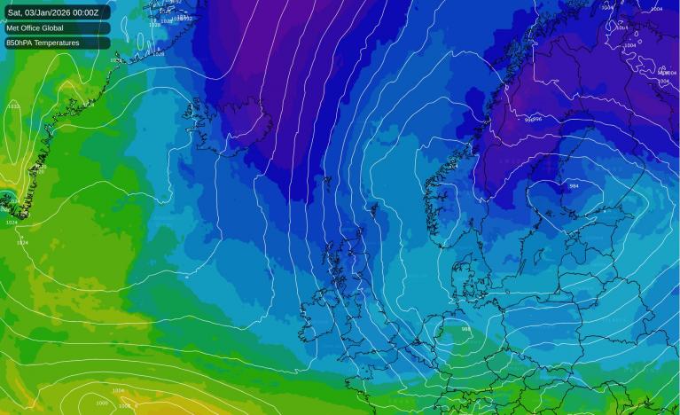
After a very cold start across England and Wales, New Year's Eve sees patchy rain moving down from the north, although this shouldn't spoil the celebrations too much. Following the patchy rain will be air moving in from the Arctic, bringing much colder conditions. This will bring wintry weather for the start of 2026 with sharper, more widespread frosts, and also some ice and snow. The latter will be mainly over hills but not exclusively so, and also towards coasts exposed to gusty winds from a northerly quarter.
With this wintry turn in mind, the Met Office has issued a Yellow Warning for snow and ice covering parts of Scotland from 06:00 on Thursday 1st January through to 23:59 on Friday 2nd January.
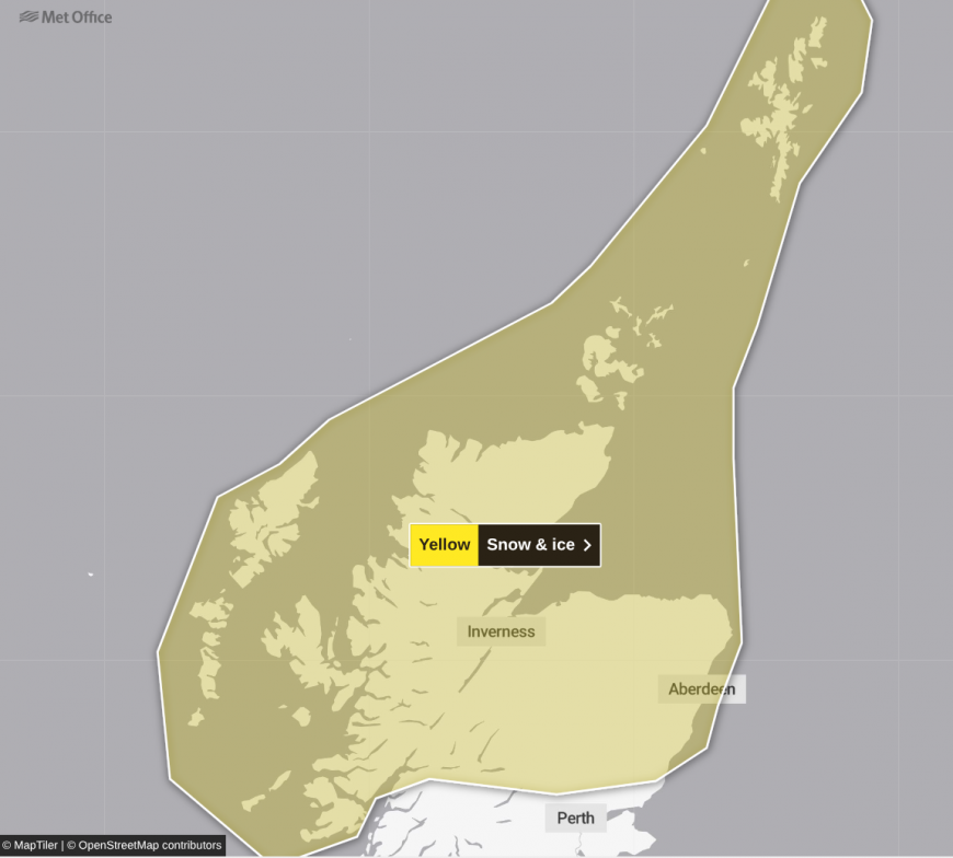
Showers will turn increasingly to snow through Thursday as a strong, perhaps locally gale-force northerly wind sets in. Initially you'll see accumulations mainly on higher routes, but by evening snow will start to build even at lower levels, with 2 to 5 cm expected by Friday morning, locally 10 cm in places. Head above 200 metres and some areas could see 10 to 20 cm, while on the highest routes and hills 30 cm or more may build through this period. With the strength of the wind, expect some significant drifting too.
The warning covers much of the Highlands, Grampian, Tayside and Fife, along with Argyll and Bute, Orkney and Shetland. If you're travelling in these areas, do allow extra time and be prepared for delays on roads, rail and at airports. Some rural communities could find themselves cut off for a time, and there's a chance of power cuts affecting mobile phone coverage in the worst-affected spots. Take care on icy surfaces too.
Loading recent activity...