If you have Halloween plans for Friday evening, there will be a lot of clear weather across the UK so a treat really. However. there will be a scattering of heavy showers, especially later on, which could catch out some witches and ghosts.
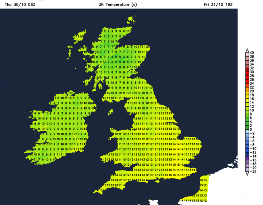
It won’t be as chilly after a mild Friday but the southerly breeze will make it feel cooler after dark.
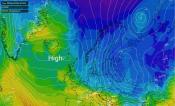
Thursday will become a windy day with rain from the west, thanks to an Atlantic low pressure. Northern Ireland has a wind warning into Thursday night and gales are expected in the far northwest this evening.
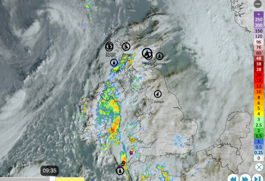
Netweather Radar showing lightning strikes (sferics) near Cornwall, and top ten winds with Satellite
This same low will bring more hefty showers across the UK on Friday with blustery winds but there could be a slight lull by teatime on Friday. It won’t be as windy as on Thursday evening thankfully but you will still have to secure any outdoor decorations on a blustery day.
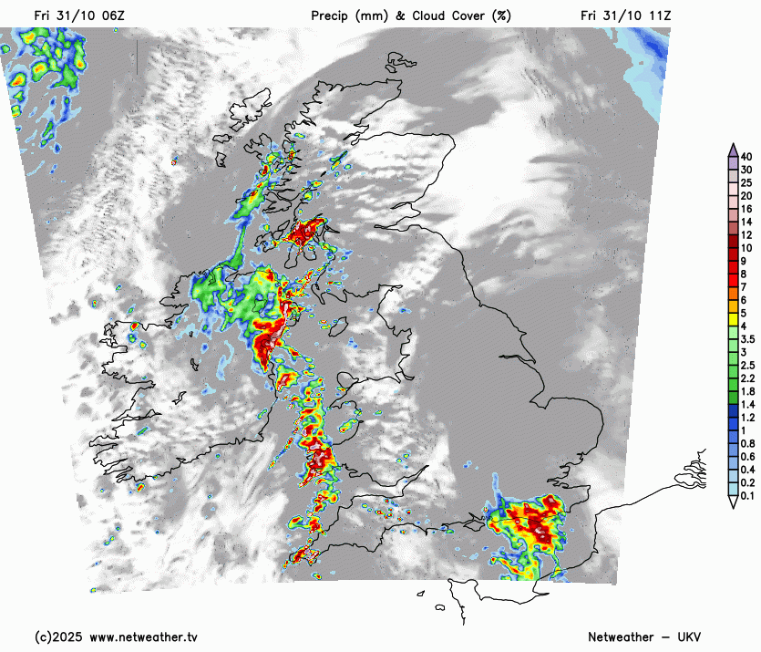
During Friday, there will be clusters of heavy showers with hail and thunder possible, also sudden gusty winds. The models do vary with the detail. Northern Ireland looks to see a lengthy clear and drier spell in the afternoon and early evening. Temperatures for Belfast will be around 10C with lighter winds. Heavy downpours will be moving northeastwards over mainland Scotland. So for Glasgow by Friday evening, it should be dry and clear after a wet spell in the afternoon, temperatures around 10C. The showers will reach Grampian by early evening but Edinburgh Guisers might be lucky and miss them. The main threat will clear Lothian and Fife leaving clear conditions. Aberdeen willl stay windy so hold onto your cloak and hat.
Manchester and Cardiff could see heavy showers as this band passes by late afternoon. Behind this will be clear skies for a few hours before clusters of heavy showers appear from the southwest. South Wales stays blustery and later on Friday night there will be these hit and miss down. For Devon and Cornwall, get your trick or treating done early.
For the rest of England a distinct line of heavy showers is showing on the UKV model which will make its way eastwards over England. Western counties in the afternoon and across the Midlands in the evening but struggling to reach London and the southeast. So many should see a dry evening or be lucky enough to miss the showers.
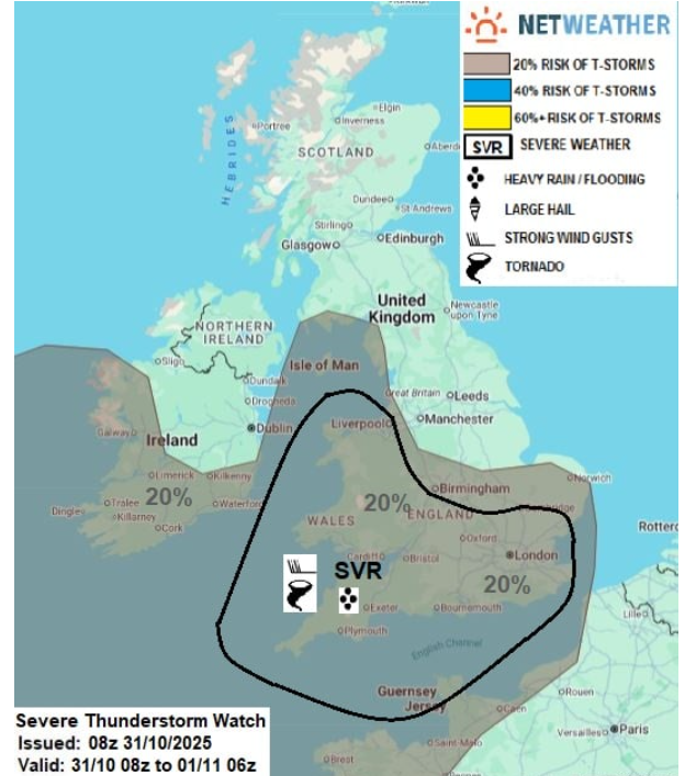
Conditions will deteriorate from the southwest with sudden gusts. English Channel counties will turn windy overnight on Friday and the showery rain wrapped around a secondary low will be heavy, even thundery with lightning. It could clip County Down, should move over SW England, Wales, SW Scotland and then across England through the night.
Loading recent activity...