High pressure will keep most of England and Wales dry through to Friday, however, Atlantic fronts will bring cloudier skies and rain at times to Scotland, N. Ireland and the far north of England. It will be warmer too this coming week, but no Indian Summer.
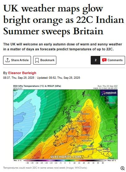
There has been talk in the media over recent days of an Indian Summer on the way to start October.
The Met Office Meteorological Glossary, first published in 1916, defines it as "a warm, calm spell of weather occurring in autumn, especially in October and November".
High pressure will continue to dominate the weather, like the past week, across most of England and Wales throughout the coming working week, bringing mostly dry and settled weather with light winds. It will be pleasantly warm in the sunshine too, with temperatures reaching the high teens, perhaps locally 20C, though the nights will be on the chilly side early in the week.
Turning warmer by day this coming week, above average in the north, but the nights will be chilly at first
The highest recorded temperature in the UK in October was 29.9C on 1 October 2011, in Gravesend, Kent - amidst a record-breaking hot spell in late September and the start of October that year. This was, at the time, defined as an Indian Summer. This coming week will see temperatures generally a good 10C lower than the 2011 Indian Summer, so not really looking like a true Indian summer on the way. Just warmer than it has been this past week, certainly feeling pleasant in the sun. It looks to turn cooler next weekend though, as unsettled conditions return from the Atlantic.
Scotland and N. Ireland will be prone to Atlantic fronts passing through at times - bringing occasional cloud and rain, perhaps heavy and persistent rain later in the week. And it will be windier too. Unsettled and windier conditions could eventually spread across all parts next weekend, though some uncertainty on this for now.
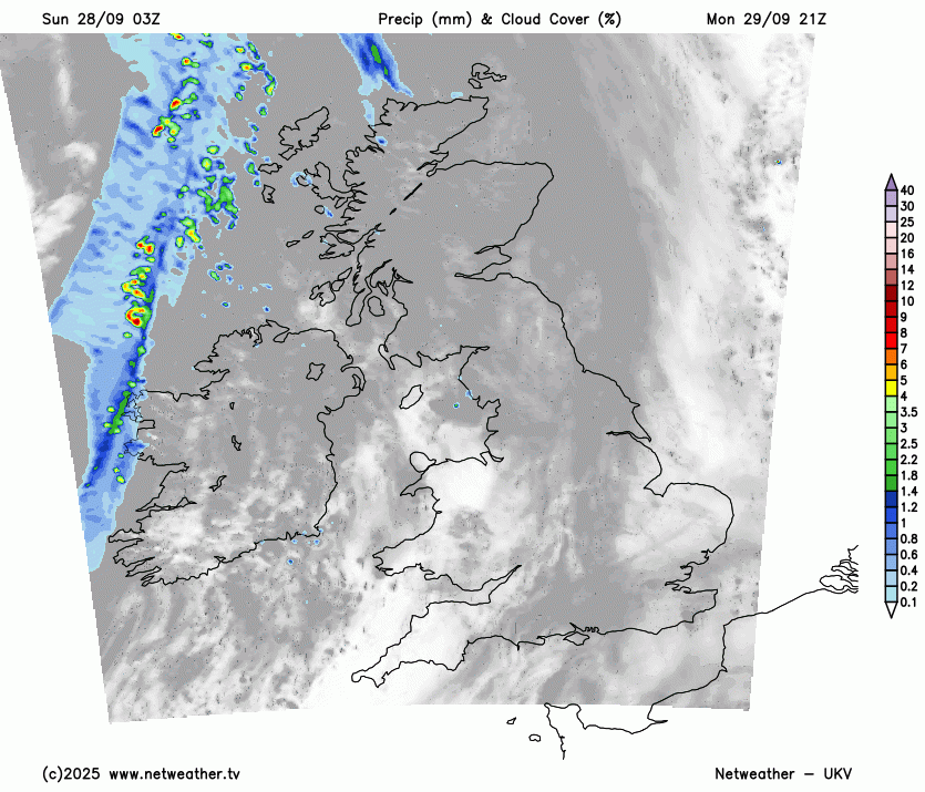
For now, a cold front with cloudier skies and a band of rain has been slowly clearing east across eastern England through the day, cloud and patchy rain still lingering across the far southeast of England into early evening. Further west, it's been a sunnier day, though with a few scattered showers across the north and west. Temperatures reaching 16-18C in the sunshine.
Then a chillier night tonight under clear skies in the polar maritime airmass, temperatures widely falling into low single figures in rural areas, with an air frost possible in sheltered Scottish Glens and a ground frost possible elsewhere. Mist and fog also forming in places with light winds. This will lead into a sunny but cold start to Monday, but also with some mist and fog slow clear in places. Generally a dry and bright or sunny day for most, temperatures reaching 14-18C, perhaps 19C in London. Cloud thickening in the northwest in the afternoon, with some patchy rain arriving across western Scotland.
Tuesday onwards will start to see a north-south split develop, with Scotland and Northern Ireland seeing cloudier skies and breezier conditions, with some patchy rain or drizzle moving through on Tuesday, while much of England and Wales away from a cloudier NW England will be dry, and bright or sunny under the influence of high pressure.
A north-south split from Tuesday to Friday, with cloud and rain at times for Scotland, N. Ireland and far north of England, drier and more settled further south.
Wednesday and Thursday could see spells of more persistent and heavy rain spread northeast across the Republic of Ireland, N. Ireland, Scotland and Cumbria, which could cause some issues from flooding. Some drier spells between these spells of rain, but generally staying cloudy and it will be windy at times too. In contrast, the rest of England and Wales are looking mostly dry and settled, best of the sunshine towards southern England, Midlands and East Anglia. Cloudier across NW England and west Wales, with patchy drizzle or light rain possible over coasts and hills.
Some uncertainty by Friday on timing, but we may see unsettled and windy conditions reach all parts by the end of the day, with outbreaks of rain and strengthening winds spreading northeast across all areas by the evening.
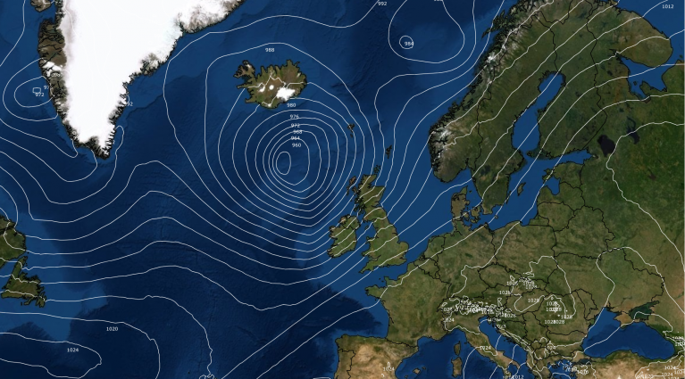
Turning more unsettled for all by next weekend, as the remnants of Hurricane Humberto head towards the NE Atlantic, injecting energy into the jet stream.
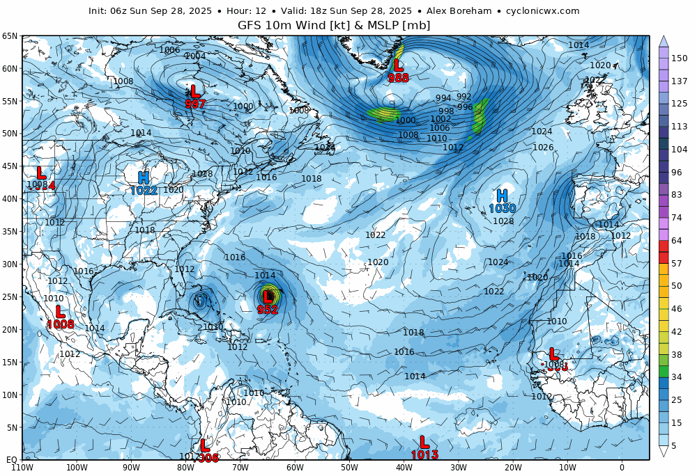
Next weekend, at the moment, is looking unsettled for all, with the remnants of Hurricane Humberto currently forecast to track towards the northwest of the British Isles and injecting more energy into the polar front jet stream. So expect a windier weekend than this one, with the threat of rain or showers.
Loading recent activity...