Another dry week for the UK as the risk of wildfires spreading increases. There will be frontal rain this weekend from a system linking south to Hurricane Gabrielle, forecast to impact the Azores on Friday.
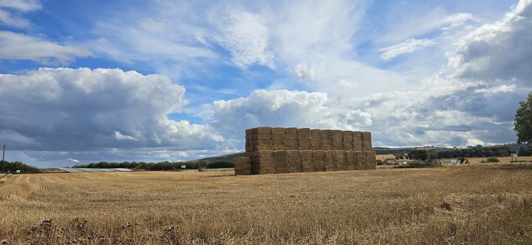
High pressure is bringing us a dry and sunny week with some nippy nights. There have been some frosty windscreens early in the morning and debates about whether to put the heating on just yet. Plumbers everywhere will be suggesting that you give your central heating a try out now. Then, if there are any issues, you won’t be desperately phoning them for assistance when it is properly cold. Even though the first few weeks of September brought above average rainfall to many parts of the UK, this week with hardly any rain is not good news for those in official drought.

The Scottish Fire and Rescue Service has issued a wildfire warning across Scotland this week which escalates to an 'extreme' risk on Friday, 26 September. This is the first September wildfire warning since 2020 and reflects exceptional conditions across Scotland this year. With the ongoing dry condtions there are pleas from the fire brigade for people to take care with naked flames and not light campfires. This is about the dry conditions on the ground, it does not relate to air temperature.

Active fires over past severe days from EFFIS European Forest Fire Information System
Eastern England has caught some showers, first in the cold northerly wind and by midweek coming off the North Sea in a more easterly drift but it's not enough.This easterly flow for SE Britain is around the southern edge of the high pressure. This is edging towards southern Scandinavia, taking its time but still acting as a shield against incoming Atlantic wind and rain. As the high continues to drift towards the Baltic Sea, the UK will be in a more southerly flow Friday night into Saturday morning although a cold front will bring rain on Saturday and a shift to a westerly, Atlantic flow for Sunday.

You may have heard mention of Hurricane Gabrielle which will influence the weather along the eastern side of the Atlantic this weekend. This is a minor affair compared to the other side of the world, where Super Typhoon Ragasa left at least 14 dead in Taiwan and caused huge disruption in Hong Kong on Tuesday. Ragasa is now progressing along the southern coast of China, where thousands have been evacuated.
Hurricane Gabrielle is over in the mid Atlantic Ocean, as the Portuguese Met Service (IPMA) has issued a hurricane warning for the Azores via NHC, the US National Hurricane Centre with the threat of torrential rain, coastal flooding and wild conditions Thursday night into Friday.

As Gabrielle transitions into an extra-tropical low later on Friday, it will move closer to mainland Portugal and Galicia in NW Spain, bringing unsettled weather with rain to the region. Possibly to the Algarve by the end of the weekend, even Madrid. The models vary with the path of the post-tropical low. A frontal band linking north from the low centre will bring rain to us but Gabrielle itself will not impact the UK.

This week will have benefited from plenty of sunshine even though the air is colder. By Friday, there will be more cloud about by day with an easterly flow for England and south-easterly winds for the rest of the UK. Friday evening looks fair and dry but it will soon feel cool.
The high pressure is slipping away eastwards, which weakens its protective abilities for the far northwest of Europe. One low pressure will be heading for Iceland on Friday, and its frontal boundary links all the way south to Hurricane Gabrielle. There will be strong southerly winds for the west coast of Scotland on Friday evening, ahead of the cold front.

The frontal band will be over Northern Ireland early on Saturday, and then a fragmented front will stumble over Britain for the rest of the day, bringing outbreaks of rain. It looks like there will be heavier rain passing by for SW Scotland and around Irish Sea coasts but little rain for SE Britain. The UKV model shows lively line convection along the cold front early on Saturday, clearing County Down and Belfast before 7am as the heavy downpours and gusty conditions reach the west coast of Scotland, then the Isle of Man and Anglesey during the morning.
Eastern Britain will have a bright even sunny start but there will be increasing frontal cloud as outbreaks of rain move eastwards. In any drier, sunnier spots, temperatures could reach 20 or 21C. Behind the front, there will be sunny skies with a scattering of showers but a cooler airflow. NW England could see some heavier downpours even by Saturday evening.

As the last of the rain should clear from eastern Britain during Saturday night, there will be clear skies and light winds to follow. Temperatures will fall away again into single figures.
However, there is a chance that the frontal band will linger, stretching back over southern Britain during the night and bringing a damp, grey picture for Sunday. To the north and west of this will be the bright weather with just a few showers. The winds look to be light and temperatures around average so 16 or 17C to end the weekend.
Loading recent activity...