July 2025 ended up as the fifth warmest July on record for the UK as a whole, in temperature records back to 1884, according to the Met Office. After the hot and sunny spell in the second week, the second half often had westerly and north-westerly winds. However, the UK is currently experiencing a marine heatwave with sea surface temperatures in the vicinity up to 2C above the long-term average for July. This contributed to these north-westerlies not being as cool as they would normally be, and temperatures in the second half of July were mostly near or slightly above the 1991-2020 long-term average. It has noticeably been a struggle to get substantially below-average temperatures during this summer so far even when the synoptic patterns would normally have favoured generally cool weather.
The first half of July was generally sunnier than average, but the second half was cloudy for much of the country. Overall, sunshine came out above normal in northern Scotland and south-western Britain, but fell below normal in parts of Northern Ireland and south-west Scotland in particular. For the UK as a whole it came out at 106% of the long-term average. Rainfall was also not far from average, averaged nationally, but it was a dry month in the south-west. The dry sunny tendency for the south-west may have been related to the generally north-westerly type in the second half as well as the hot and sunny spells earlier in the month, as a north-westerly pattern typically sees the Azores High sit closest to the south-west, resulting in the south-west seeing generally drier and sunnier conditions than other regions.
Early August looks set to see the weather heat up over France, Spain and Portugal, and there is a substantial chance of parts of France, especially the south, reaching or exceeding 40C towards the end of this coming week. The heat will establish over Spain and Portugal during the coming few days, and by Wednesday it looks probable that many areas will be seeing maximum temperatures approaching the mid-40s Celsius away from coasts.
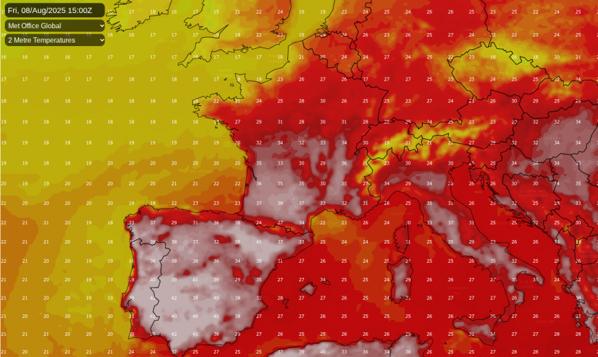
Holidaymakers are generally advised to stick to the coastal areas, where there will be cooling sea breezes, but with some pockets of unusually high sea surface temperatures around the Mediterranean, these sea breezes may not be as cool as we would normally expect. Maximum temperatures of around or above 40C look set to persist in inland parts of southern Spain and southern Portugal for the foreseeable future, though the heat will come and go in the north of both countries.
This hot weather looks unlikely to make substantial inroads into the British Isles during the coming week, but with winds becoming predominantly westerly rather than south-westerly, and high pressure ridging into southern and eastern Britain more often than in late July, temperatures in Britain are forecast to become generally above average during the mid to latter part of next week. With the jet stream pushing further north, the upcoming week looks set to be wet at times in western Scotland, but generally dry over England and Wales, with the likely exception of Cumbria.
As we head towards mid-August, it looks probable that high pressure will often ridge more strongly into southern Britain, increasing the potential for hot and sunny weather to develop at times over England and Wales in particular, though it may well remain cooler, cloudier and more changeable for much of the time in north-western Britain. As has been usual in recent summers, the greatest potential for the odd day or two of exceptionally hot weather will be in the eastern half of England.
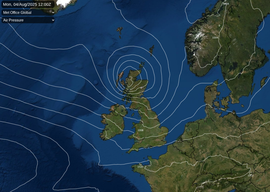
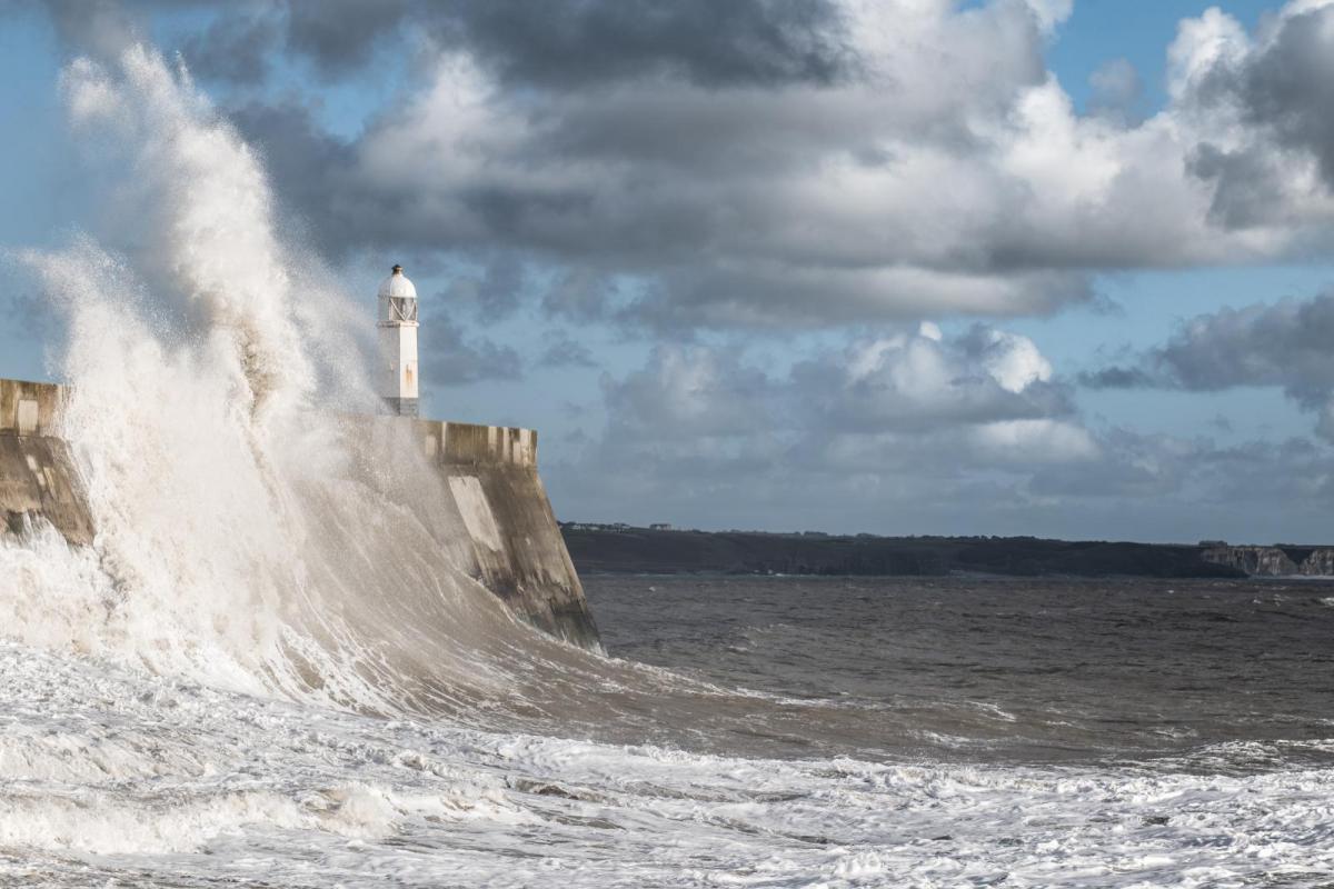
But in the near term, the main talking point is an exceptionally deep low pressure system for the time of year, which will cross the north of Britain on Monday. The Met Office has already named it Floris and issued yellow weather warnings for wind for Northern Ireland, Scotland, northern England and north Wales, and I will not be surprised if these warnings end up being upgraded in parts of Scotland as we get nearer the time.
Unusually, the American GFS model, which has a history of overdoing deep lows, is currently showing a relatively moderate outcome with wind gusts peaking at around 60mph in parts of northern and eastern Scotland. But the Met Office model and the European ECMWF model are suggesting potential for damaging wind gusts of up to 80mph in parts of Scotland, particularly near the west coast, and maybe even nearer 90mph for some of the islands off the west of mainland Scotland. Strong winds are also expected in Northern Ireland and the northern half of England, but the south will be largely unaffected, seeing just a couple of breezy days and nothing out of the ordinary for the time of year. A depression of this magnitude would not be unusual in September or October, but for this early in the season it is pretty unusual.
Loading recent activity...