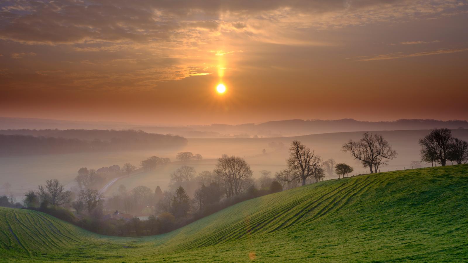
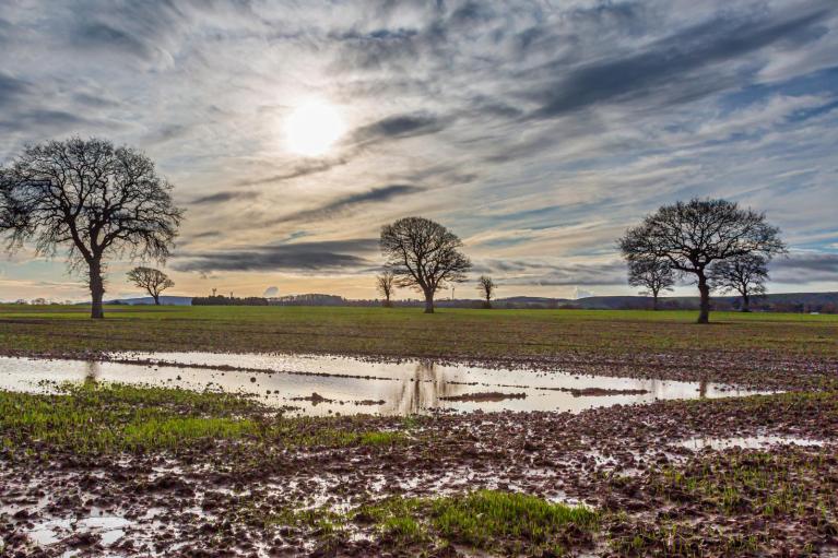
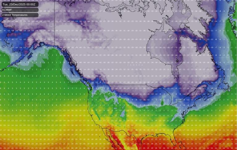
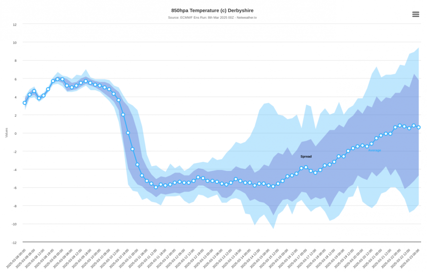
We are looking at a spring switch-around for next week. Many areas have been sunny and increasingly warm during the past week, though sunshine has been more variable the further north and west you go. Starting next Monday, highest pressure will transfer to the north-west of the British Isles, pulling in cold north-easterly winds and much colder temperatures. For much of next week, we can generally expect maximum temperatures below 10C, and some night frosts.
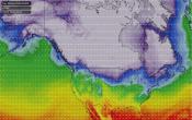
There is uncertainty over how cold it will get and how wintry. Much of continental Europe remains warmer than average for the time of year, so if we pick up a mainly east to north-easterly flow, it will turn colder but generally only a little below normal for the time of year.
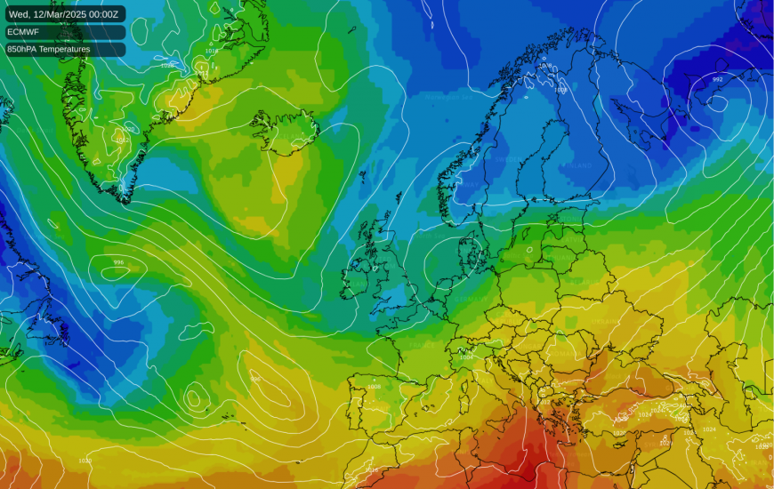
However, some model runs have us picking up a north to north-easterly, which would be more likely to bring widespread sleet, snow and hail showers to eastern counties, especially eastern Scotland and north-east England, and potential for some of us to wake up to a covering of snow on one or two mornings.
Current forecast model guidance suggests that, regardless of how intense it ends up being, this will probably be a temporary cold spell, with strong model agreement that in about 10 days' time we will pick up a westerly or south-westerly flow and, correspondingly, warmer temperatures again.
There is a widespread perception that the arrival of spring heralds consistent warmth, but not quite at the level that we usually see in summer. Throughout history, spring has often been a fickle season, with an erratic rise in temperature, some cold wintry spells declining in frequency and intensity as the season progresses, and increasingly, some very warm, summer-like spells. Even in the generally warm and record-breaking sunny spring in 2020, there was a cold snap in the second week of May, which brought snow showers to low levels in north-east Scotland and widespread overnight frosts.
The upcoming cold spell is almost certain to pale by comparison with what we saw twice in March 2018, with the notorious "Beast from the East" bringing widespread snow cover and sub-zero maximum temperatures on the 1st, and further snow and daytime temperatures near freezing for many from another easterly on 17/18 March. It also looks unlikely that next week will be any colder than the two northerly blasts that we saw in the first half of April 2021 (note: much later in the season), when snow showers fell widely on the 5th, 6th and 11th and in some areas the snow briefly accumulated on the ground.
A recurring theme during spring cold snaps has always been that unless there is a deep snow cover and daytime temperatures short of 5C, when the sun gets out, the snow tends to melt quickly due to the stronger sun at this time of year. Another characteristic of polar and arctic maritime air masses associated with sunshine and showers in spring is that sometimes snow falls at surprisingly high temperatures. The relative humidity of these air masses is often low, and in spring, with relatively strong sunshine but the Arctic still being very cold, there tends to be just a shallow warm layer near the surface associated with solar heating. As a result, in some cases snow showers can fall with the temperature starting as high as 8C, although in these situations, in heavier showers temperatures usually drop substantially as the shower gets underway. There is potential for that kind of scenario to arise around midweek next week if we pick up the colder north to north-easterly flow and pull in some sleet and snow showers.
Generally, snow in spring used to be far more common than it is now. A report by Climate Central has suggested that, looking at changes in seasonal temperatures since 1970, spring has been the fastest warming season in the UK. The warming between the reference periods of 1961-1990 and 1991-2020 has been around 1C in spring, but given further warming since the centre point of the 1991-2020 period (2005), it is fair to say that recent spring temperatures have been nearer 1.5C warmer than 1961-1990 on average.
With snow in the UK often being marginal with temperatures near freezing, and particularly so near the edges of the snow season, adding a degree to the temperature in these spells is often the difference between getting snow and getting rain or sleet.
Despite the underlying warming trend, spring will continue to be a fickle season – blocked patterns and northerly and easterly winds are traditionally most common during spring and early summer, making Britain prone to seeing alternating warm and cold spells. The main change as the climate warms is that our spring cold spells are set to increasingly fail to bring snow, but they will continue to bring temperatures below the latest 30-year long-term normal.
Loading recent activity...