Not the best time at the moment to take a holiday in Spain or Portugal if blue skies and sunshine are what you want, as persistent areas of low pressure affecting Iberia bring spells of rain or storms across many areas this week, through the weekend and into early next week.
On Monday the rainfall was very intense in parts of the Mediterranean - especially in Castellón province in the east, where a red warning was activated, with 254 mm recorded in Les Coves de Vinromà. A red warning was also activated in Malaga province. Also on Monday, Jerez de la Frontera (airport) broke the record for accumulated rain in 24 hours for the month of March, with 71.1 mm. The previous record was recent (from last year), with 61 mm.
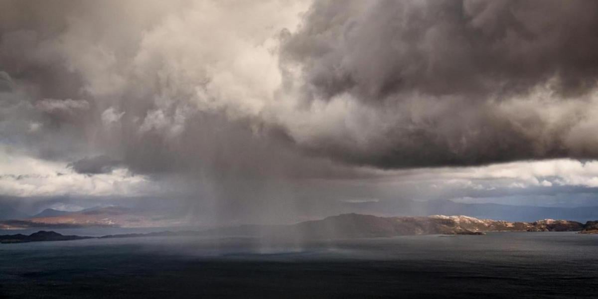
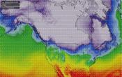
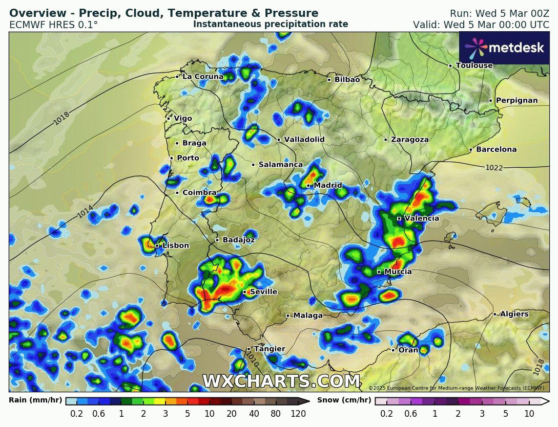
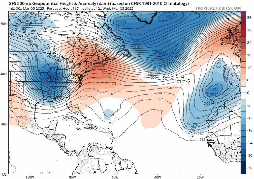
A slow-moving low pressure system or Depresión Aislada en Niveles Altos (DANA), a Spanish phrase that translates to isolated depression at high levels, parked off the southwest of Iberia since the weekend will continue to feed a humid and unstable flow from the east across Spain. The associated instability will bring widespread rainfall across Iberia, locally strong or very strong and persistent, which will continue until Friday and will likely extend into the weekend.
There is still uncertainty regarding where will see the greatest rainfall intensity and largest accumulations. Today the largest accumulations are expected across eastern and southeastern parts of Spain. Heavy showers, thunderstorms or longer spells of heavy rain will affect and area extending from the south from the provinces from Almería, Murcia and western Andalusia up to the eastern Valencian region south of Tarragona. Largest rainfall totals look be in the provinces of Valencia and Castellón, where it is expected that 100 mm will be exceeded in 12 hours and 150 mm in 24 hours.
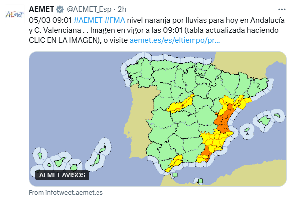
AEMET advisories / warnings for Spain
IPMA weather warnings for Portugal
On Thursday locally heavy and persistent downpours will also reach the north and extreme northeast of Iberian, but with largest rainfall totals generally to the south of Tarragona, in Castellón and Valencia another 100 mm in 12 hours may fall. In these two provinces 400 mm could be exceeded since Monday when the current DANA event started.
The threat of more heavy rainfall and flooding across much of Iberia will continue Friday, through the weekend and into early next week with the arrival of a new DANA. This new low pressure system will move in from the northwest with the arrival of a cold upper low of polar origin, which breaks away southeast from a disrupting upper trough over the Atlantic. The upper low or DANA will become slow-moving over the west or northwest of Iberia and will feed in bands of persistent rain and snowfall in mountain areas from Friday, while episodes of heavy rain and thunderstorms will move northeast across Iberia throughout the weekend and into early next week, with further accumulations that could exceed 100 mm in 12 hours in some regions of the Mediterranean coast and the south of the peninsula.
Current DANA low off SW of Iberia will be replaced with a new DANA low moving in from the NW later this week - which will loiter through into next week
Portugal and NW Spain could bear the brunt of heaviest rainfall this time with the new DANA system - which will be moving in from the northwest and stalling close to the west and northwest of Iberia. Over 200mm could fall locally, bringing a risk of flooding, while episodes of heavy rain and mountain snow will also reach the east of Iberia too.
Looking further ahead - it doesn’t look to really dry out too much through next week either, perhaps a brief lull mid-week after showers or longer spells early in the week, but further low pressure systems may move off the Atlantic - thanks to a negative north Atlantic oscillation (NAO) bringing Atlantic storm track across southern Europe.
Loading recent activity...