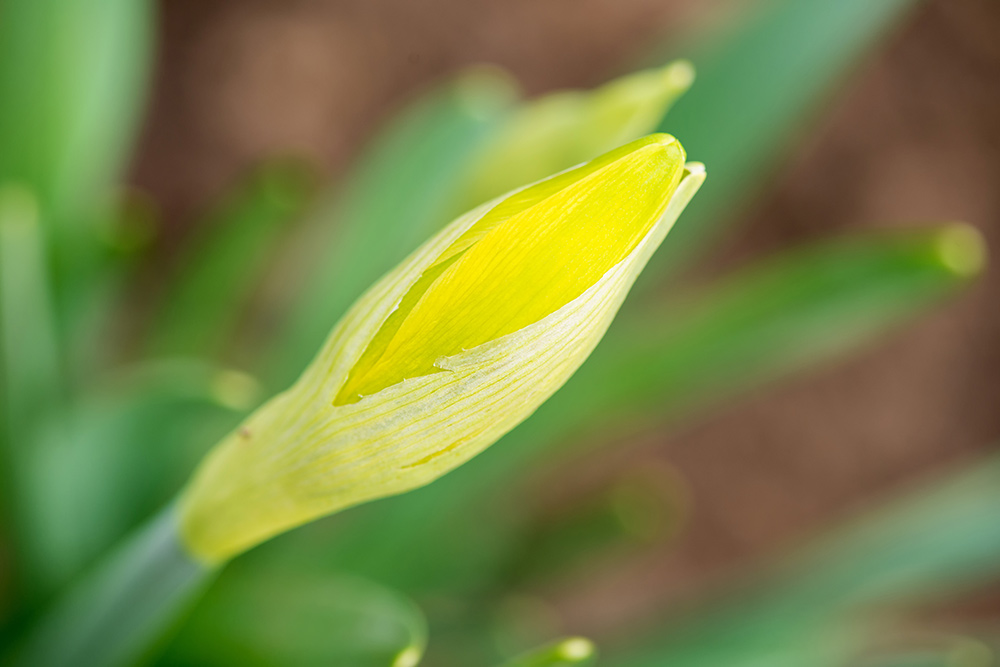
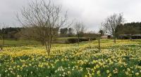
Nice to see the snowdrops, crocuses and now the daffodils appearing, to remind us that spring is just around the corner. With high pressure set to dominate into early March, we should see some 'spring-like' weather by Friday, over the weekend and into next week especially over England and Wales.
During the evening mostly Scotland, Northern Ireland, the West, parts of the Midlands and the South West see more showers that'll be wintry on hills. It'll then be the turn overnight of the East to see some showers, but it should be clear enough for a while after dark to see the planets, although only Mars, Jupiter and the very bright Venus will be visible to the naked eye. It'll turn cold enough for a frost in places in a West or North Westerly breeze, with lowest temperatures mostly in the range -1 to +4C.
There'll be some showers at first in the East and a few across the North and West of Scotland, but Thursday brings an improvement as pressure steadily rises across the country. After an early frost most places will be dry with some sunshine, although cloud amounts will vary. A light to moderate breeze will be mainly from the West or North West, but with more of a South Westerly wind across the far North. Top temperatures 6 to 8C again in the North and 9 or 10C further South.
Pressure continues to rise after dark, with an anticyclone becoming established over southern England by Friday morning. So expect a dry night with clear spells developing, in mostly light winds. As a result it'll turn quite cold and misty in places, with a fairly widespread slight frost and some patchy fog forming later especially in central, southern and eastern parts as temperatures fall mostly to between -2 and +3C.
With a large anticyclone centred over England on Friday, what has been a somewhat colder meteorological winter than of late will end on a fine 'spring-like' note once early mist, patchy fog and frost has cleared. The weekend remains largely fine and dry in southern and central parts, but weak fronts may bring some rain or showers to parts of the North and West for a time where it'll also tend to be breezier.
Loading recent activity...