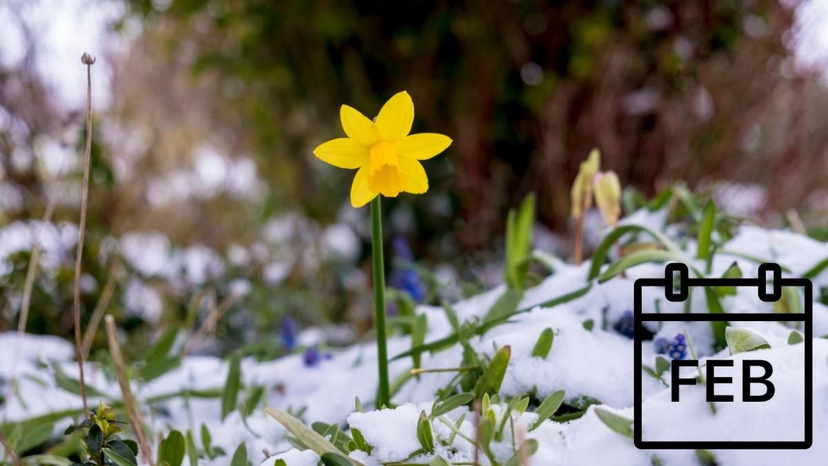
We are now into February, the last of the three months of meteorological winter.
It has been a few years since we had a particularly wintry spell in February. The last one of note was the easterly spell between 7 and 13 February 2021. At the beginning of the spell, there was a named storm, Darcy, which brought strong winds and heavy snow to parts of southeast England and East Anglia. Frequent snow showers followed, especially into eastern counties, associated with easterly and northeasterly winds. As the wind slackened toward the end of the spell, there were some exceptionally cold nights in places, with -23.0°C at Braemar on the night of the 11th/12th, the lowest temperature recorded anywhere in the UK since late December 1995. Not everywhere saw lying snow from it, but the areas that missed out were mainly confined to western coastal fringes of Scotland, a large area of lowland northwest England and southwest Scotland, parts of Wales and southwest England, and an area around Cambridge which largely missed the snow showers.
Other Februarys of the 2020s have been generally mild. February 2020 was mild and very wet and surpassed February 1990 as the wettest February in the Met Office UK rainfall series. There were some days with widespread sleet and snow showers, especially in the second week and in the last week, but lying snow tended to be restricted to high ground. Storms Ciara and Dennis brought exceptionally high rainfall totals to much of the country.
February 2022 was another mild, westerly-dominated February, not quite as wet for most as February 2020, but there was considerable disruption from storms Dudley, Eunice, and Franklin. Eunice brought damaging winds to some areas of the country, particularly the south, while Franklin on the 20th was associated with widespread flooding. Again, there were some days with fairly widespread sleet and snow showers, but lying snow was rare or nonexistent on low ground, especially in the south.
We had a relatively settled February in 2023 with high pressure often dominant, and again it was generally mild. February 2024 was exceptionally mild – the warmest on record for the south, although, for the UK as a whole, it was not quite as warm as February 1998. It was also a dull, wet month for most, especially the south. It was generally snow-free away from Scotland, but on the 8th, it snowed quite widely to low levels in northern England and the Midlands.
Overall, the Februarys of the 2020s have so far been rather warmer than could be expected purely on the basis of the warming UK climate, so we are due a colder one sooner rather than later. The outlook for February 2025 is settled and anticyclonic early in the month, but temperatures are uncertain, for there is some potential for us to pick up some cold easterlies in about 7 to 10 days' time, but no guarantees. Long-range model guidance and the La Niña pattern both pointed toward mild and wet weather emerging toward mid-February, which could still happen, but the medium-range forecast models have been moving away from that scenario over the past few days. The odds still favor a milder-than-average month overall, but there is a fair chance of it being considerably less mild than most recent Februarys. There are also tentative hints that we could get a sudden stratospheric warming, which, if it comes off, would increase the chances of cold weather in late February.
The Februarys of the 2010s were generally considerably less mild than those of the 2020s have been so far, but again there were no outstandingly cold ones. The coldest was February 2010 with a UK mean temperature of 1.8°C, which was the coldest February since 1991, but there have been much colder ones in the past, such as 1986 with a UK mean temperature of -1.1°C, and 1947 with a mean of -2.1°C. February 2010 was marked by consistent rather than outstanding cold, with frequent snow, but in many lowland areas, the snow tended not to stick around for long.
February 2018 was only moderately colder than average, but it was notable for bringing in the "Beast from the East" on the last three days, with exceptionally low daytime temperatures on the 28th and widespread snow showers, which included widespread thundersnow in northeast England. Around Newcastle, there were several bouts of thundersnow through the day.
February 2019, in contrast, was exceptionally mild, although it started off cold with snow for some, especially the east and south. Both of those months were very sunny for most of the UK. February 2019 was especially remarkable for the spell of dry, sunny weather in the last third of the month, with exceptionally high diurnal ranges (temperatures exceptionally high by day, but near freezing at night, with some frosts), and the UK saw the temperature breach 20°C for the first time in the winter quarter since reliable observations began – indeed, it got to 21.2°C at Kew Gardens, London.
Loading recent activity...