The two main influences on our UK weekend weather will be a large area of low pressure to the south throwing more rain over southern Britain and a flow of warm and humid air from the east lifting UK temperatures. This warm air will bring a lot of low cloud and murk in from the North Sea so don’t assume that it will be sunny. Where it is, it will be glorious with light winds in the north.
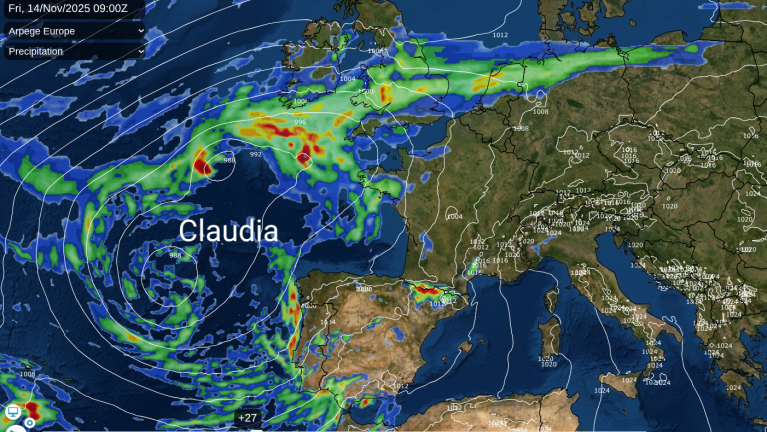
A huge buckle in the jetstream will leave a cut-off surface low over the Bay of Biscay. This is linked to wet weather which is forecast for southern Britain over the next few days, with Met Office heavy rain warnings already appearing.
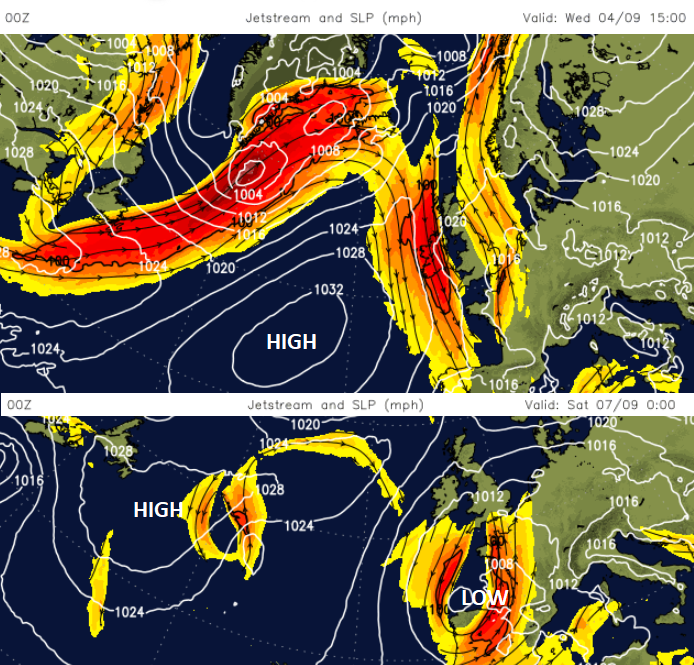
The Azores high re-establishes itself but further north in the Atlantic so our more traditional weather patterns will look like they’ve had a bit of a shove. With low pressure to the south of the UK (rather than the usual west or northwest) and warm air arriving from the east (rather than from Spain then France) we are in for some topsy-turvy weather this weekend.
Southern Britain looks most at risk of rain after bands of wet weather lurk in the English Channel on Thursday and Friday. At the weekend, to the north of this unsettled weather, there will be the chance of fine weather and warmth but it could be subdued by low cloud and even damp conditions off the North Sea.
The midweek fresh Atlantic air has allowed a touch of frost on the grass and an autumnal nip in the air for early risers. This will be replaced warm and humid air from Germany and Poland. This reaches eastern England later on Thursday and at the weekend temperatures could reach the mid, even high 20sC depending on breaks in the cloud cover. Western Scotland, the Lake District, Merseyside and Manchester could see temperatures of 22 to 25C on Saturday if the sunshine appears. There is uncertainty around the timings of pulses and bands of rain spinning off the main low pressure so be wary of exact timings for downpours on weather apps. It might be more helpful to keep an eye on the radar on the day.
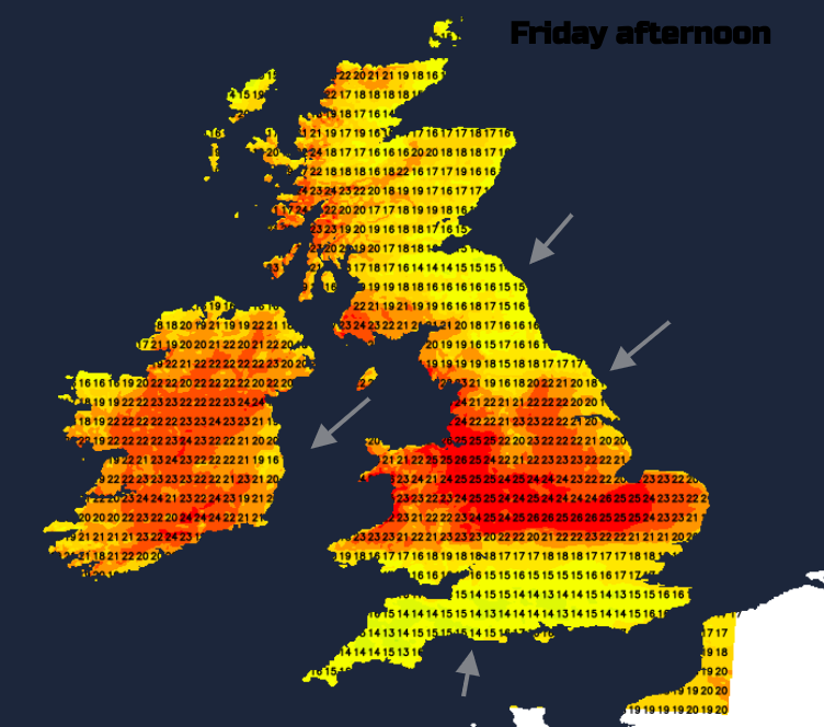
Potential for high temperatures on Friday with warmth lasting to the evening, but uncertainty for southern England and south Wales depending on the rainbands from the nearby low.
Friday evening will feel warm and close to the north of the main rain band in the south. It could be that southern counties of England see a fair evening with a light southerly breeze but there could be a distinct band of heavy rain stretching across southern Britain giving a wet end to the week. To the north of this rain, there will be a brisk northeast wind off the Sea bringing in lots of low cloud and murk. The air here is warm but it will be damp. Northwestern parts of the UK could stay dry and clear.
Saturday will start off quiet and still with low cloud for northeast Britain, sunshine to the west, the cloudy remnants of the overnight rainband, perhaps still giving a burst of rain to Wales. For much of the UK, it will be a steady day with varying amounts of cloud. In the sunshine, it will feel warm and humid. For southern England, the low pressure will exert its influence with the chance of further clusters of showery rain and some of these will be heavy even thundery later in the day. There will be a different airflow early on before a brisk E/N wind appears around the low centre.
Overnight into Sunday there will be heavier pulses of rain over southern Britain but again uncertainty about the details of where and when. This is the current UKV focus for heavy rain at the weekend
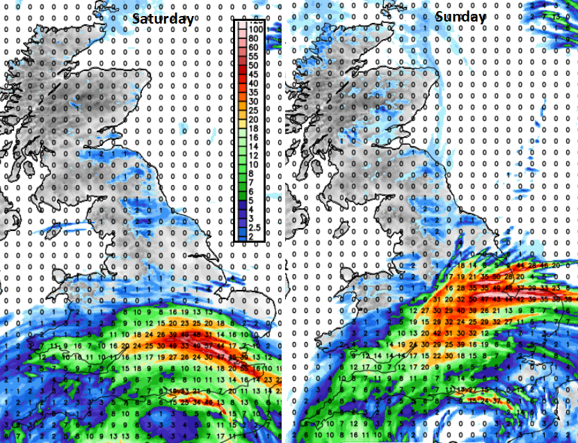
On Sunday the warm airflow holds on but cooler fresher air will start to push into the far northwest at the end of the weekend. Again there will be a lot of quiet, settled weather with low cloud and murk off the North Sea but sunshine further west. The breeze will be from the north perhaps breaking up the low cloud in different places to Saturday. Once more East Anglia, the Midlands, Wales, the West Country, London and the Southeast will be at risk of heavy downpours, even thundery ones. These won’t affect everyone but will need watching.
Loading recent activity...