The weather is off to quite a lively start this week, with an active front moving south through England and Wales first thing, followed by a rash of sharp, thundery, and squally showers. The remainder of the week will keep an often fairly unsettled, cool theme, with sunshine, showers, and the odd longer spell of rain. But a change in the form of high pressure does look set to arrive by next weekend.
The radar and satellite image from earlier this morning paints the picture - the front, bringing a fairly brief but heavy, squally spell of rain moving southeast - note the lightning strikes within it. Following behind, some sunnier breaks but also heavy, thundery showers.
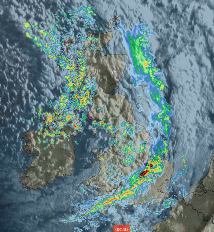
A storm forecast has also been issued for today, highlighting the threats, which almost all of the UK and Ireland covered - albeit with a relatively low risk of storms. The hazards today aren't limited to just lightning, though; there'll be some torrential downpours, gusting winds and hail in the mix as well.
.JPG?w=626)
After the warmest day of the year on Saturday, with Writtle in Essex reaching 21.8c, temperatures had already fallen away on Sunday with a max of 15.8c. Today will be cooler still, and that's before you take the wind into account, with maxes for most ranging from 8-11c. A cool night will follow, with lows widely into single figures and cold enough for a touch of frost in parts of Scotland and Northern England.
Into Tuesday and although there will again be showers about, they won't be quite as widespread as on Monday. They'll tend to be centred in a few areas, leaving much of the rest of the country (mostly) alone to have some long sunny spells and just a scattering of isolated showers. The east and southeast of England, the far north and northwest of Scotland, and the southwest of England look likely to be the more showery spots. Temperatures will be warmest in those sunnier areas. Still, they won't be dramatically warmer than today, perhaps reaching up into the low-teens in the midlands and central southern England, where there's a bit more shelter from the still keen, north-to-northwest wind.
Wednesday will be another day of sunny spells with a scattering of showers. Temperatures will still be on the cool side in those brisk winds. Thursday will see a nose of high pressure ridging into England and Wales, but it's going to be quite quickly squashed as rain moves in from the northwest and heads southeast through the day. The southern half of England may well stay dry until after dark.
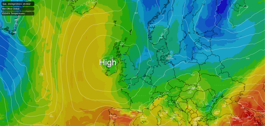
Into the end of the week, with low pressure to the east and high pressure to the west, the UK will be in a flow from a northerly direction once again and back to a sunshine and showers type of setup. For a change though, high pressure does look likely to be the winner by the weekend, slowly edging east to settle the weather down.
Loading recent activity...