Will there be another storm? Well no, it doesn’t look like there will be another named storm over the weekend. However, there will be wild weather for the Scottish Islands with gales, even severe gales, at times. Further south, high pressure will slide across Wales and much of England bringing a calmer, drier and brighter few days. After a slight interruption, the high stays close to southern Britain for next week expanding over much of mainland Europe. Northwestern Scotland will see a feed of showers from the west along with strong winds and particularly lively downpours by Saturday lunchtime. Northern Ireland will catch a few of those showers on Saturday afternoon but that is about it until a cold front arrives from the Atlantic later on Sunday. And Sunday will be mild again with some Saharan dust in the air.
For a while, the low pressures travel further north, close to Iceland and then across to Scandinavia. The jetstream is meandering about over the weekend but becomes more zonal and active by the middle of next week. However, the jet stays further north than during the stormy period last week and the lows continue towards the Arctic. The risk of gales remains next week for northern Scotland.
It has been very mild. It’s felt quite odd at times. Stormont Castle saw 14.4C as the UK top maximum on Thursday. Even in the wind, it has felt warm, January 2024 has certainly been varied! In Spain, temperatures in the region of Valencia reached the high twenties, astonishing warmth with a report from AVAMET (official meteorological net of the Valencian Community) of 30.7C. This would make it the new hottest January day for Europe on record from Gavarda between Valencia and Alicante in the east of Spain.
Cooler air has arrived over the UK behind the overnight, cold front rain and we are in a fresher westerly flow. Temperatures on Friday will be around 7 to 9C and similar on Saturday. Saturday night looks cool with a touch of frost possible for inland England early on Sunday although Sunday becomes milder with temperatures back into double figures. Colder air will arrive from the northwest by the end of the weekend, so a nippy night for Northern Ireland, Scotland and possibly more of northern Britain. This lasts in the north through Monday but southern counties of England could stay in double figures by day. It will be worth viewing a balance of cooler air in the north, still mild in the far south and a fluid boundary in between.
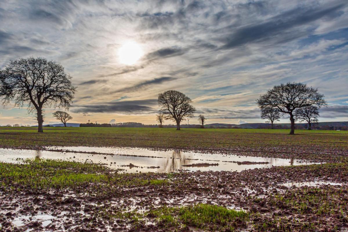
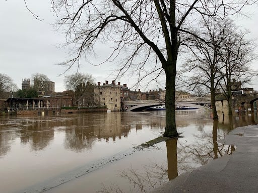 York by Nick Finnis
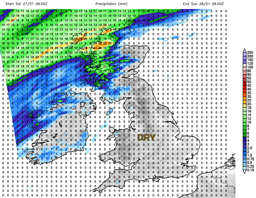
A spell of drier weather will be well received in many areas as river levels remain high and the ground saturated. Several river catchments in Wales are still on Flood Alert and there are a few flood warnings in England “following rainfall associated with Storms Isha and Jocelyn”
The lively showers for the Highlands and Islands will include rain, hail, sleet and mountain snow today in the cooler air and there will be some heavier rain on Saturday. SEPA in Scotland has been mentioning river flooding and “On Friday and Saturday, some localised coastal impacts from wave and spray overtopping are possible” for the west coast and Scottish Islands.
Much of the UK will have a bright and dry Friday with winter sunshine. The wind will make the difference to how it feels, blustery in the north, calm in the south. Further south with light winds, there will be a bit of frost even mist by night.
The far north and northwest of Scotland will continue to see frontal bands ripple past and these throw a bit more cloud over the northwestern half of the UK. There will be more sunshine on Saturday for the southeastern half and it stays dry.
Through Saturday night thicker cloud and patchy rain will spread over Ireland and Scotland with a grey start for Wales and western England on Sunday. Low cloud will have drifted inland overnight from the Irish Sea and Western Channel.
Sunday will be a bit mixed with mild air but more of a southerly wind. An active cold front will be approaching from the west but with some uncertainty in the timing of its arrival. It looks to bring rain to Northern Ireland and western/northern Scotland by Sunday evening, preceded by southerly gales for the far north of Scotland, even severe gales.
So for most of the UK this weekend it will be dry. Sunday sees the mild air returning but with a freshening southerly wind. The NW Highlands and Islands are in for a wet and windy weekend, very windy at times.
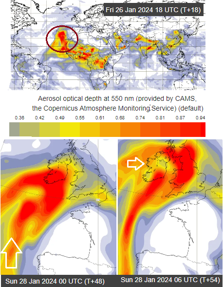
The Copernicus aerosol forecast charts are showing Saharan dust being pulled up over the UK by Sunday which can result in stunning sunsets but also orange dust settling on windows and cars.
Loading recent activity...