Late October is the time of half term holidays, the October break with trips here in the UK or for a bit of autumn sunshine.
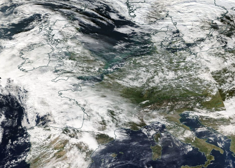
It has been very mild here in the UK and that continues this week but the feed of warm, moist air from the south resulted in a huge squall line on Sunday which impacted northern France and parts of England. There were reports of tornadoes, damaging gusts, bead lightning, thunderstorms and torrential rain.
France had been seeing warm air and high temperatures since the middle of October. Exceptional lasting warmth. AEMET in Spain had named a storm, Beatrice which introduced cold air aloft and thunderstorms began to form. The setup was more like summer storms moving from Brittany to the Channel coast, Hauts-de-France and then Belgium later on Sunday 23rd. One line included a supercell with tornadoes and there was significant damage.
France still has yellow warnings for thunderstorms with hail and high gusts on Tuesday. Temperatures remain higher than average this week with Provence seeing into the high 20sC, the Basque Country reaching 30C. The weekend looks fine across France with plenty of sunshine inland. Paris seeing temperatures around 23C.
Spain
North-western provinces of Spain will experience windy weather with rain on Tuesday from a frontal system which is on its way to the UK for the middle of the week. Bilbao and Santander will see blustery winds but still warmth in the southern flow.
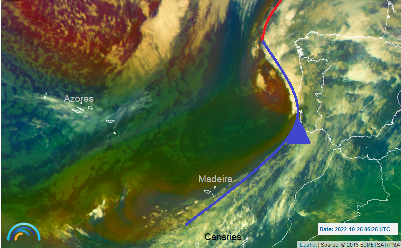
The southerly winds are raising the temperatures even up to the UK but for the Mediterranean, Iberia, Italy the south of France and across to Greece there is plenty of Saharan dust in the air. This is causing hazy conditions and some deposits.
Portugal
Porto in the north will see rain and blustery winds with the risk of rain throughout midweek. There will also be rain for Lisbon. The Algarve looks fine and settled. There will only be a low risk of a shower and temperatures remain in the low 20sC with fine sunny spells.
Madeira will stay in the mid 20sC with a westerly breeze and passing showers. Funchal should see fewer showers next week.
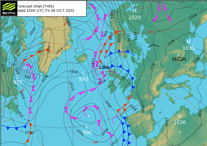
A huge high pressure over central and southern Europe will bring a lot of steady settled weather. However, far western parts of UK, including the UK stay unsettled with frontal rain and blustery winds with the frontal systems continuing over Scandinavia and the Baltic states by the weekend.
Australia
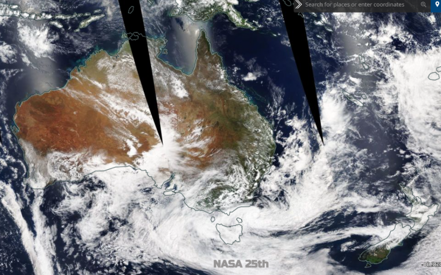
Australian weather seems to swing from one extreme to the next. Drought and heat then heavy rain with thunderstorms leading to flooding. Sydney is seeing its wettest October in nearly 160 years, its wettest year on record. There has been major flooding in much of NSW and northern Victoria with other states seeing heavy, persistent rain and thunderstorms. September 2022 was the fifth wettest on record for Australia as a whole, so this is a soaking springtime.
“A large number of stations in eastern New South Wales and south-eastern and southern Queensland had their wettest September on record. “October daily rainfall records were exceeded across sites around the country on all days of the week “as the heaviest rainfall shifted from central parts of the country to eastern and then southern parts.” BoM
Sydney will see some fine weather to end the week with temperatures in the mid 20sC and sunshine. Rain showers begin to appear for the start of the new week but still with warm sunshine.
Tropical Cyclones
Cyclonic Storm Sitrang formed in the Bay of Bengal and has been moving N/NE. On Tuesday, it had weakened to a 'well-marked low pressure' and was forecast to hit the coast of Bangladesh with a storm surge and torrential rain. There have been evacuations from the low-lying delta region but already a few people have died. The Indian Meteorological Dept was also warning parts of north-eastern India about extremely heavy rain from the system. This would lead to flooding and landslides.
All remains quiet in the Atlantic with no hurricane or tropical storm updates currently.
Loading recent activity...