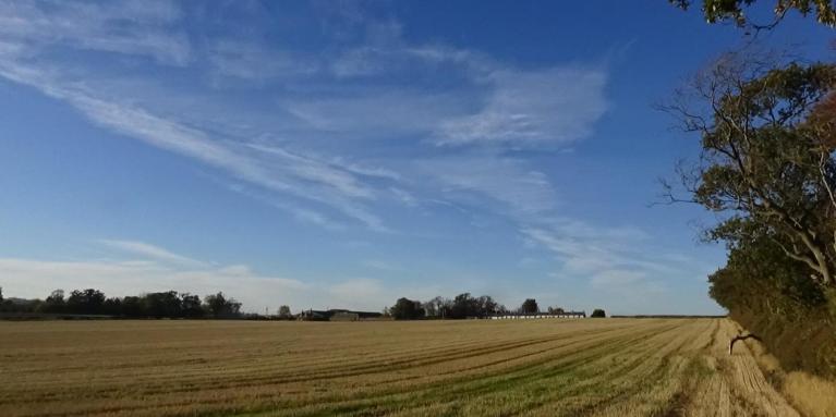
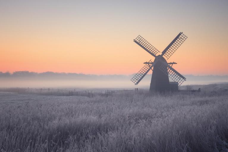
The current spell of largely dry, calm, and settled weather continues this coming week, following an unsettled end to October that featured back-to-back storms. The powerful Atlantic jet stream that brought the stormy weather has shifted much further north, allowing a blocking area of high pressure to dominate, which will continue the quiet conditions across most of the country, potentially leading to up to 10 consecutive days without significant rainfall at a time of year that normally sees the highest amount of rainfall on average.
Very little or no rain this coming week, most falling toward eastern coasts.
There will be some subtle changes compared to over the weekend, with a new area of high pressure moving in from the Atlantic taking over high pressure that has been moving north on the near continent that started the more settled weather. The new high will be a blocking high that will set up to be centred near or over northern Britain through the coming week.
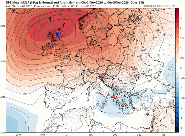
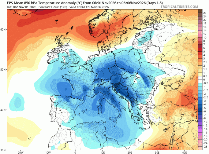
That does mean that a northeasterly breeze will develop across the southern half of the UK, which will bring chillier conditions than recently and cloudier conditions for some with a few showers too. Temperatures reached the high teens as far apart as SE England and the Scottish Highlands on Friday, but this week they will struggle to reach the low teens at best by day, while nights will be chilly with a rural frost where skies clear at night in the north and west. Daytime temperatures will hover right around the early November average (typically 10C to 12C in the south, slightly cooler further north). Where skies clear, a risk of widespread rural frost - particularly in the north and west.
Cooler week ahead, with chilly nights, greatest temperature anomaly in the south
It will be dry and settled for the vast majority of the UK this week, any fog though tending to be confined to the north and west - where winds will be lighter. However, northern Scotland along with eastern and southeastern coastal areas of England will see scattered showers early this week blown in on a northeasterly breeze, these perhaps getting well inland, but many western regions may stay completely dry.
A few showers may clip northern and eastern coasts, with the heaviest showers down in the far southeast of England. Otherwise, dry elsewhere, with any early morning mist and fog clearing to sunny spells for most. A chilly northeasterly breeze across the south.
Again mostly settled with rural frost and fog to start the day in the northwest, perhaps lingering in a few spots, otherwise a mix of cloud and pleasant autumn sunshine. Most areas will remain dry, but scattered showers are still possible moving off the North Sea across eastern and southeastern England, perhaps locally heavy, with a few reaching the Midlands. A few showers also possible for eastern Scotland.
Mostly dry with high pressure in charge, though the brisk northeasterly or easterly wind across England and Wales will blow in cloudier skies at times with a few well-scattered mainly light showers in places. Best chance of sunshine in the west. Lighter winds across Scotland - where there will be the greatest risk of frost overnight.
High pressure still holding on, centred across Scotland, though it could be quite cloudy at times, thick enough for some patchy drizzle or the odd light shower in places, perhaps a few heavy showers spreading in from the south across southern England on Saturday and Sunday, but uncertainty over this. Some bright or sunny spells possible too
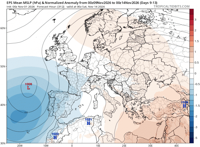
Hints of a change next weekend and into the following week, as low pressure moves in to the southwest and high pressure weakens and retreats.
Loading recent activity...