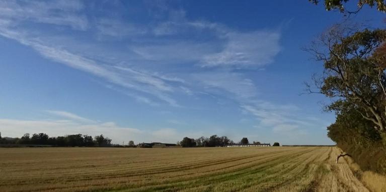
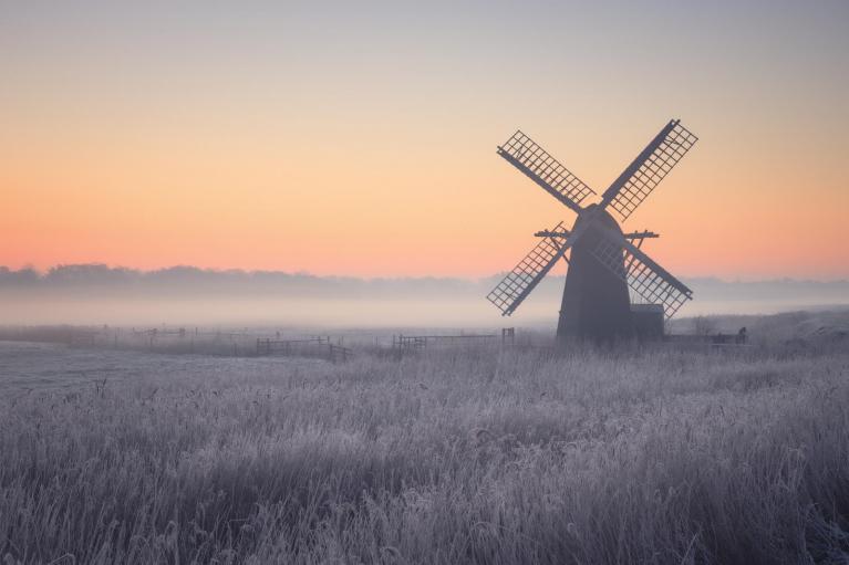
We are currently in an anticyclonic spell with fog patches in some regions. I often think of calm, foggy weather as the most "festive" weather type for Halloween, as it can create a rather spooky atmosphere.
In most years, Halloween tends to have changeable conditions with westerly and south-westerly winds. There was a notable squall line early on 31 October 2021, which brought damaging winds, associated with a mesolow along a cold front. TORRO suggested that 8 to 14 tornadoes occurred along this squall line, extending from Dorset up to Lincolnshire.
In recent years there have been a few very warm 31st Octobers, particularly in 2014 when 23.6C was recorded at Kew Gardens (London). 31 October 2015 also fell close to a warm spell, when there were exceptionally high temperatures at the beginning of November.
There have been no instances of widespread snow on Halloween in recent years, but there have been a few near misses. Since the turn of the 21st century, 30 October 2000 had some snow to low levels over a large area of Lancashire and Yorkshire, which settled in some places for a time, including Lancaster and Leeds, but the system cleared away for the 31st, which was a day of sunshine and rain showers. The Octobers of 2008, 2012 and 2018 all ended cold, but in each case widespread snowfall occurred between the 26th and 28th, and by the 31st it was not generally cold enough for snow.
The most notable example of a snowy Halloween in the 20th century was probably 31 October 1934, when after three days of northerly winds, snow fell widely, and also lay widely in the northern half of Britain. Snow also fell locally on 31 October 1974 as frontal systems pushed into a cold northerly air mass which had brought wintry showers even into the south on the 29th and 30th.
Normally in El Nino years we tend to move into a mild and wet pattern through much of November and December, often with an east Atlantic trough and south to south-westerly winds over Britain. This had looked on course to set in towards the end of October, but in the end, after a stormy spell a week ago, high pressure has taken over and looks set to dominate for at least the first third of November. It will probably not be especially mild for the time of year, either, with some continental air coming into the high pressure area.
There are signs that we could see a record early sudden stratospheric warming event, which could increase the chances of high latitude blocking (high pressure to the north of Britain), and push the transition to the typical El Nino pattern back further. Forecast model outputs are currently hinting at a transition to a south to south-westerly type as we head towards mid-November, but the signal is not particularly strong, and the majority of runs are keeping high pressure close by to the east. The latest ECMWF 42-day forecast has low pressure and southerly winds taking over after mid-November, but it also forecasts relatively high pressure developing over Greenland and extending across to Scandinavia, which would introduce potential for some colder blasts as well, particularly in the north.
Some recent GFS runs have been taking the high pressure up towards Greenland and bringing in northerly winds around 10-15 November, and some of these runs have produced conditions cold enough for snow at low levels. These should be treated with some scepticism, as the GFS is likely overreacting to the sudden stratospheric warming event, but some colder and possibly wintry weather later in November cannot be ruled out.
I am continuing to follow global temperatures at Climate Reanalyzer, which are based on the ECMWF's ERA5 reanalysis, and judging by its outputs, October 2026 is looking likely to be vying with 2023 for the warmest October on record globally, but after a record warm August globally, the El Nino event has not been pushing global temperatures into clearly record breaking territory. This is a reflection of how remarkable the general warming response to the 2023/24 El Nino event was, as normally a record breaking El Nino like the current one would be creating a succession of record warm months globally. There is, however, still time for global temperatures to soar towards the end of this year and early next year.
As in previous updates, the oceans are indeed comfortably record warm for the time of year, exceeding previous records by 0.15 to 0.2 �C, which, when averaged globally, is a large margin, but the land masses are not following suit and are bringing the global average down to about what we had in October 2023.
Loading recent activity...