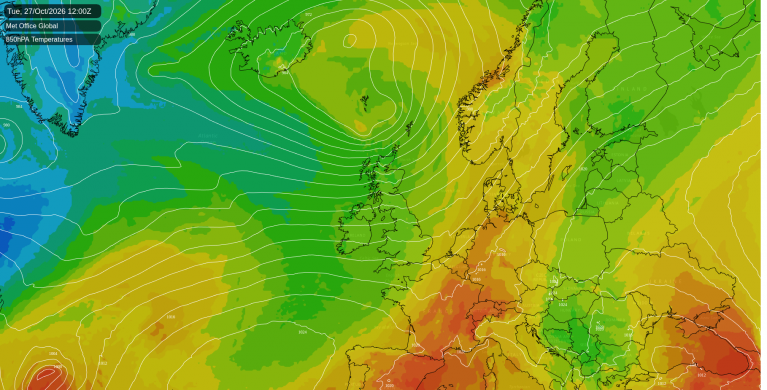
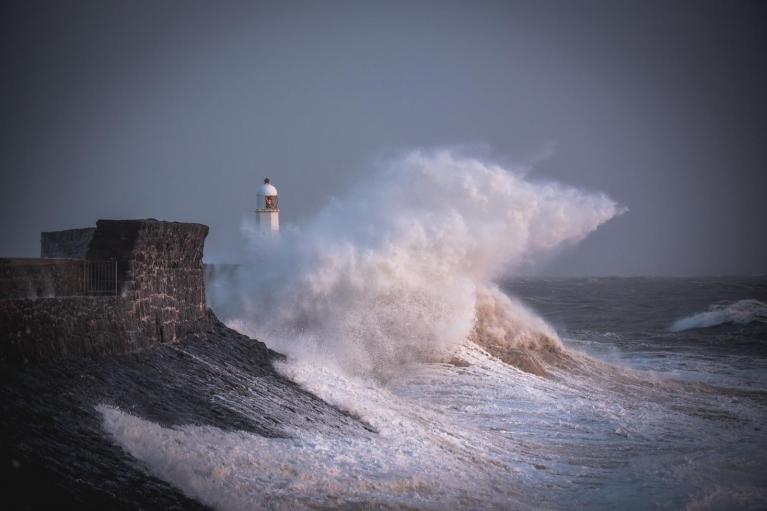
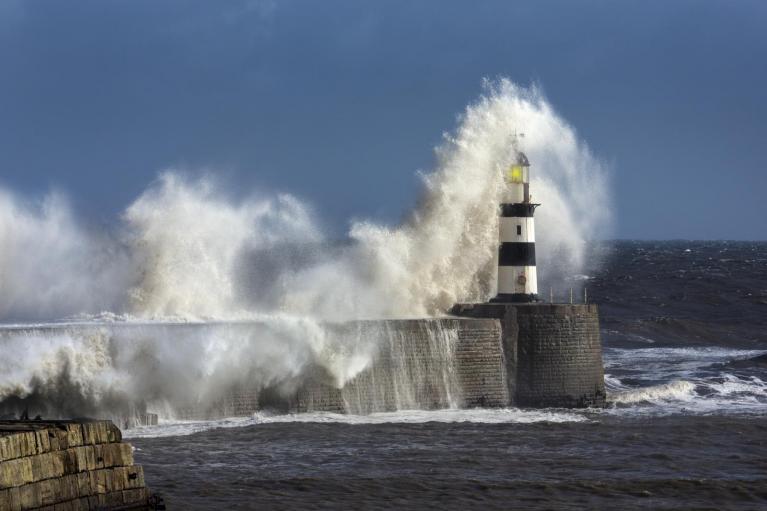
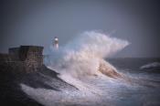
The weather has been rather unsettled of late, with Atlantic low pressure in charge bringing plentiful but much needed rain for many areas. We’ve also seen two named-storms this past week.
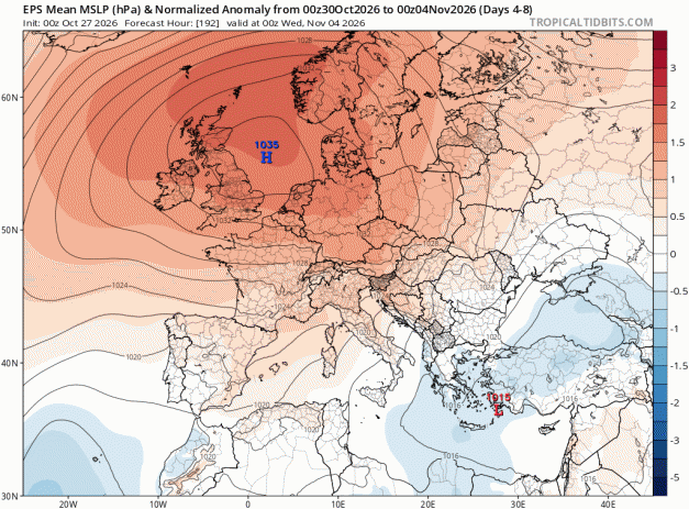
However, the weather looks to settle down to end the month and heading into early November, as a blocking area of high pressure builds across the UK and becomes slow-moving - bringing a prolonged period of dry and settled weather across many parts.
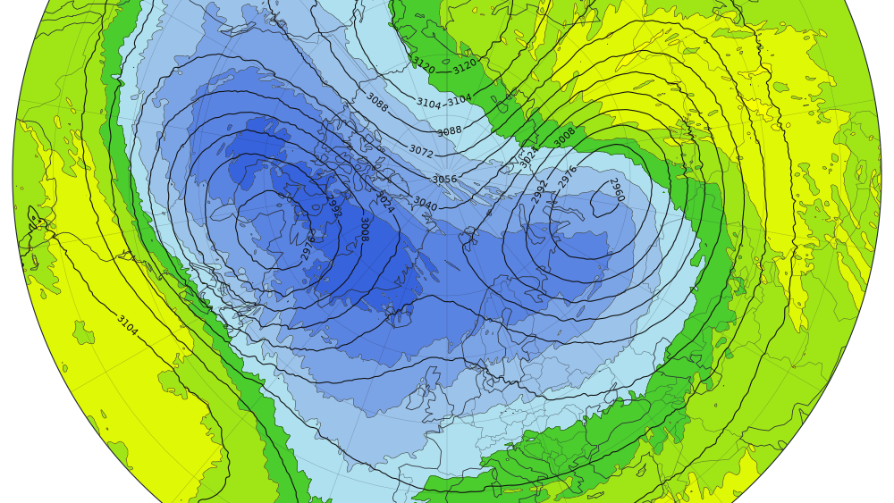
Meanwhile, high up in the atmosphere of the polar region, big changes are afoot too, with weather models showing a dramatic weakening of the stratospheric polar vortex in early November, but a full-blown major sudden stratospheric warming (SSW) is still uncertain, though the probability of one occurring have increased on the most recent run of one model.
Every operational run of the weather model now shows the polar vortex weakening toward early November, and the ensemble forecast of the European ECMWF model puts it at record-weak levels for this time of year. The ECMWF model is the most bullish, 86% of runs in the latest (00z) ECMWF ensemble have a major sudden stratospheric warming event around 6th Nov
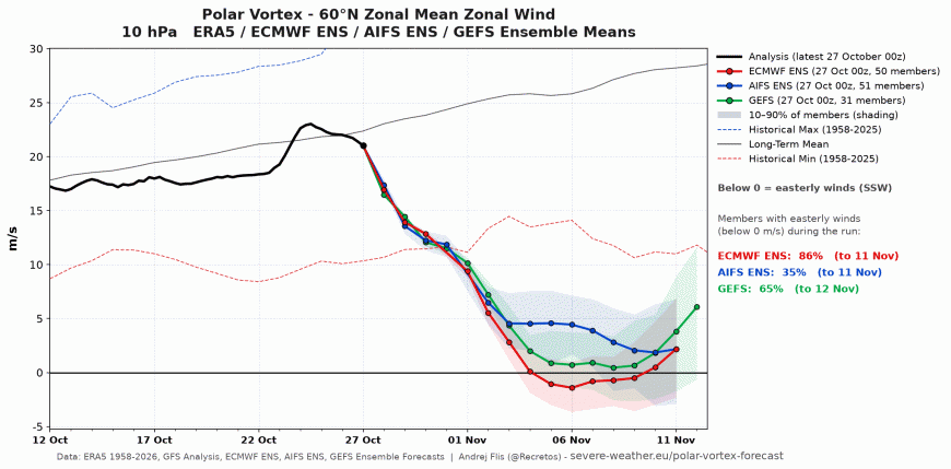
Overall, from the 00z output today there is a 61% chance of a Sudden Stratospheric Warming in the next two weeks, the breakdown of the chances are ECMWF 86% · AIFS 35% · GEFS 61%.
A major SSW is officially declared when the mean wind at 10 hPa and 60°N flips from westerly to easterly, with the counting window running from 1 November to 31 March. According to records used by the monitoring service Polar Vortex Earth, no major SSW has occurred before November 28th since records began in 1959, so an event in the first half of November would beat the record by roughly three weeks.
A strong weakening of the vortex, however, is considered almost certain. But a SSW in early November would be unprecedented if it happens. Normally the polar vortex starts to strengthen in late autumn and early winter with most SSWs causing weakening occurring in January or February.
ECMWF shows the stratospheric polar vortex briefly split before reorgansing back into one but becoming displaced.
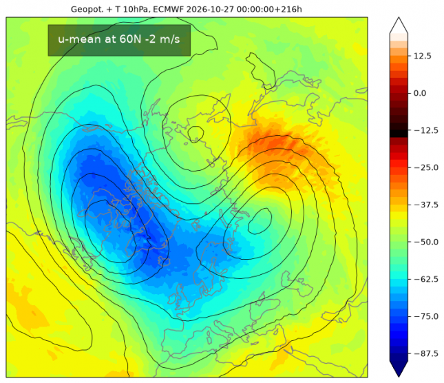
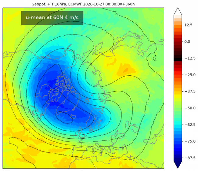
The most likely outcome is the vortex elongates and briefly splits but then quickly merges back into one vortex - but a polar vortex that is displaced. This is what most models are indicating. Displacement of the stratospheric polar vortex can lead to an increase in high latitude blocking weather patterns, which increases the risk of cold spells of weather affecting the mid-latitudes of the USA and Europe. Normally, displacement SSWs tend to favour USA for cold spells, but with a likely record-breaking strong Super El Nino in the mix, which is possibly behind the early SSW, there is more uncertainty in this respect.
This would be an interesting early-season disruption, which could have implications for weather patterns in early winter, but may not have any substantial, lasting influence on all of winter.
Even if the vortex is disrupted for a more prolonged period, with displacement from the pole, the stratospheric circulation slows substantially and extends into the lower stratosphere, the effects at ground level aren’t immediate or guaranteed. The stratosphere usually takes time to influence the lower atmosphere, usually up to 3-6 weeks, so any surface response could emerge during mid-November through early December. When SSWs do couple down, the following pattern often resembles the negative phase of the North Atlantic Oscillation, which tends to favour blocking and colder, drier spells for the UK and northern Europe.
But a fair share of SSWs never produce that response. Since this would be an extremely early event, with the vortex not yet fully set up, there’s little historical precedent to judge how it might play out.
Loading recent activity...