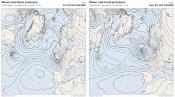
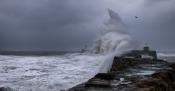
For the UK as a whole, the summer ended up as the hottest on record. In a Met Office temperature series from 1884, this summer recorded a mean temperature of 16.5C (this is the average of the maximum and minimum temperatures). This was 0.4C higher than the previous hottest summer in 2025, and 0.8C hotter than the famously hot summer of 1976.
There was an enhanced north-south temperature gradient in the summer of 2026, such that in Scotland, it was not the hottest summer on record, and came out 0.3C cooler than the two hottest Scottish summers, 2025 and 2003. In Northern Ireland it was only marginally hotter than the previous record holder, 1995. But for both England and Wales, it smashed the previous record holder by around 0.8C. This is a particularly large margin over a three-month season.
There were repeated heatwaves over France, Spain and Portugal, assisted by some exceptionally high sea surface temperatures around western Europe. Britain was normally on the edge of these, which meant that they particularly spread into southern Britain but made limited progress into Scotland. Temperatures of 35C or above were recorded in four consecutive months from May to August inclusive, which is unprecedented. The legendary summer of 1976 only recorded 35C in two months, during the remarkable heatwave in late June and early July.
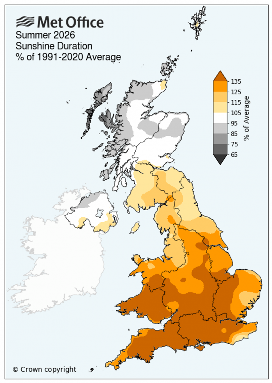
Sunshine anomalies also showed a marked north-south split. In a Met Office sunshine series from 1910, summer 2026 was the second sunniest summer on record over both England and Wales, but not over Scotland and Northern Ireland.
It was a dry summer over England and Wales, but not as exceptionally so as 1976 or 1995, as the first half of June and the second half of August were rather wet for most. However, July 2026 was remarkably dry - the third driest July on record for the UK and the driest for England and Wales (and by a large margin in Wales). Large areas of England and south and east Wales recorded under 1mm of rain.
Overall, over much of England and Wales, particularly the south, this can be seen as a modern version of 1976 on its 50th anniversary, especially in terms of temperatures and sunshine, but in Scotland and Northern Ireland the summer was less remarkable.
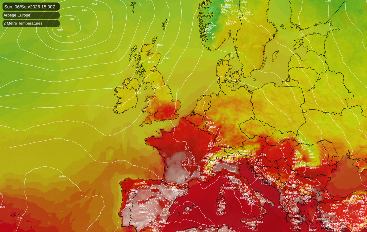
During Sunday and Monday, temperatures are forecast to widely reach or exceed 40C in southern parts of France, and also southern Spain and Portugal, which is very notable now that we are into September. Further north it looks set to be less remarkable, with highs of around 32C forecast around Paris for example. For Britain, it looks unlikely to be comparable to heatwaves that we have seen earlier in the season. Temperatures are forecast to reach the high 20s Celsius over a wide area, perhaps nudging 30C locally in the south-east, but we have had more intense heat in September in 2016 and 2023.
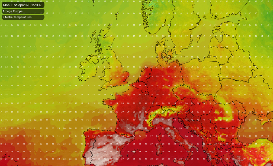
There was a slight chance of September 2026 being the fifth consecutive month to record 35C, as this figure has been recorded in September before - 35.6C on 2 September 1906 - although the Met Office has some reservations about this value. With the warming of the climate since then, and with the extremes having warmed faster than the mean, this suggests that highs of at least 37C are probably possible in September nowadays.
Western Europe is still "primed" for heat at present because of high sea surface temperatures nearby, but exceptional temperatures in Britain have been rendered less likely by a relatively wet second half of August, which has made the soils less parched. A sustained anticyclonic spell or southerly airflow could potentially have brought record temperatures, but the window of opportunity for this is fast receding. The next 10 days look set to be predominantly changeable with westerly winds, and while there is a signal for high pressure to take over after midmonth, there looks to be a fair chance of the high being centred mostly to the west of the British Isles, preventing hot air masses from making an extensive northward push into the British Isles.
Loading recent activity...