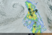
The last time the UK had a named-storm was Chandra way back on the 26th January and, of course, after such a long stretch without a named-storm, one arrives for the Easter Weekend.
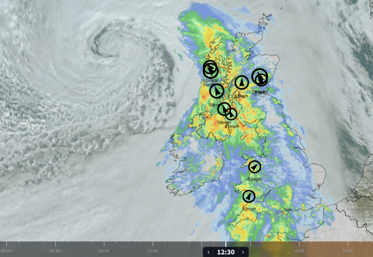
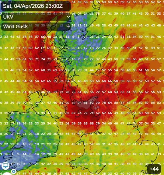
Storm Dave is a deepening low pressure system that will move in off the Atlantic across NW Ireland then northern Scotland later on Saturday, bringing very strong winds across northern areas from Saturday evening through into Sunday morning.
Met Office yellow wind warnings cover all of Scotland and Northern Ireland, as well as parts of northern England and north Wales.
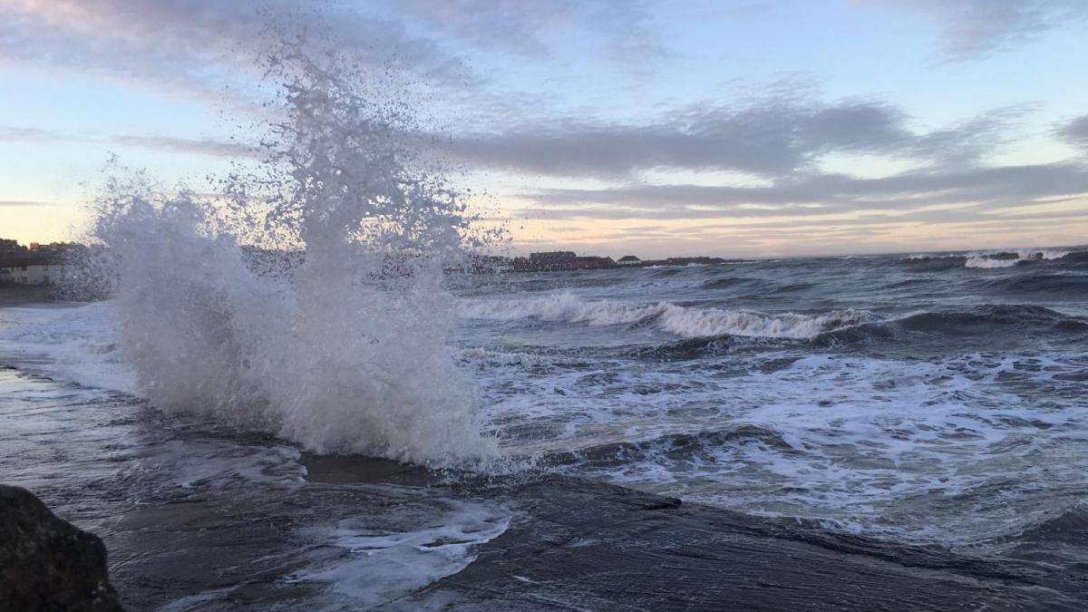
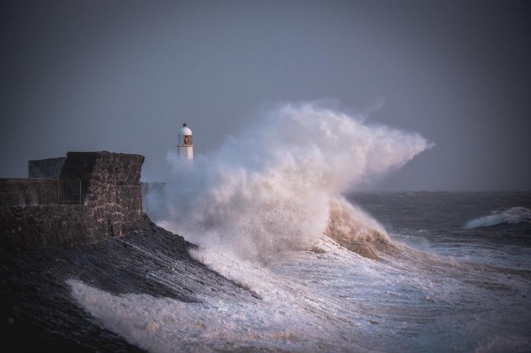
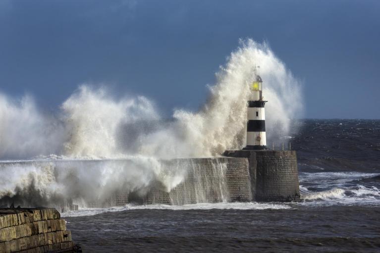
Widespread gusts of 50–60 mph are expected across much of northern Britain, while 60-70 gusts are possible in exposed coastal locations, while there is a small chance of 80-90mph gusts for a time in exposed parts of NW Ireland, Cumbria, western and southern Scotland. This is likely to cause some travel disruption, some minor damage to property, flying objects and large waves along coasts.
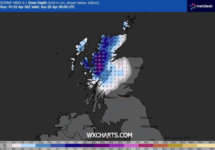
Snow and blizzard conditions will be an additional hazard across the NW Highlands, as cold air filters in from the north as the deepening low clears. A Met Office yellow warning for snow is in place for northwest Scotland from Saturday afternoon into Sunday morning. Accumulations: 5–10 cm is likely above 200m, with a small chance of up to 20 cm in some areas.
Tonight, the low that will deepen into Storm Dave will still be a wave along a trailing cold front out over the Atlantic to the southwest of Ireland, a low then rapidly deepens from this wave as a sharpening upper trough moving in from the west and divergence aloft from jet stream right entrance / left exit in the trough causes strong ascent.
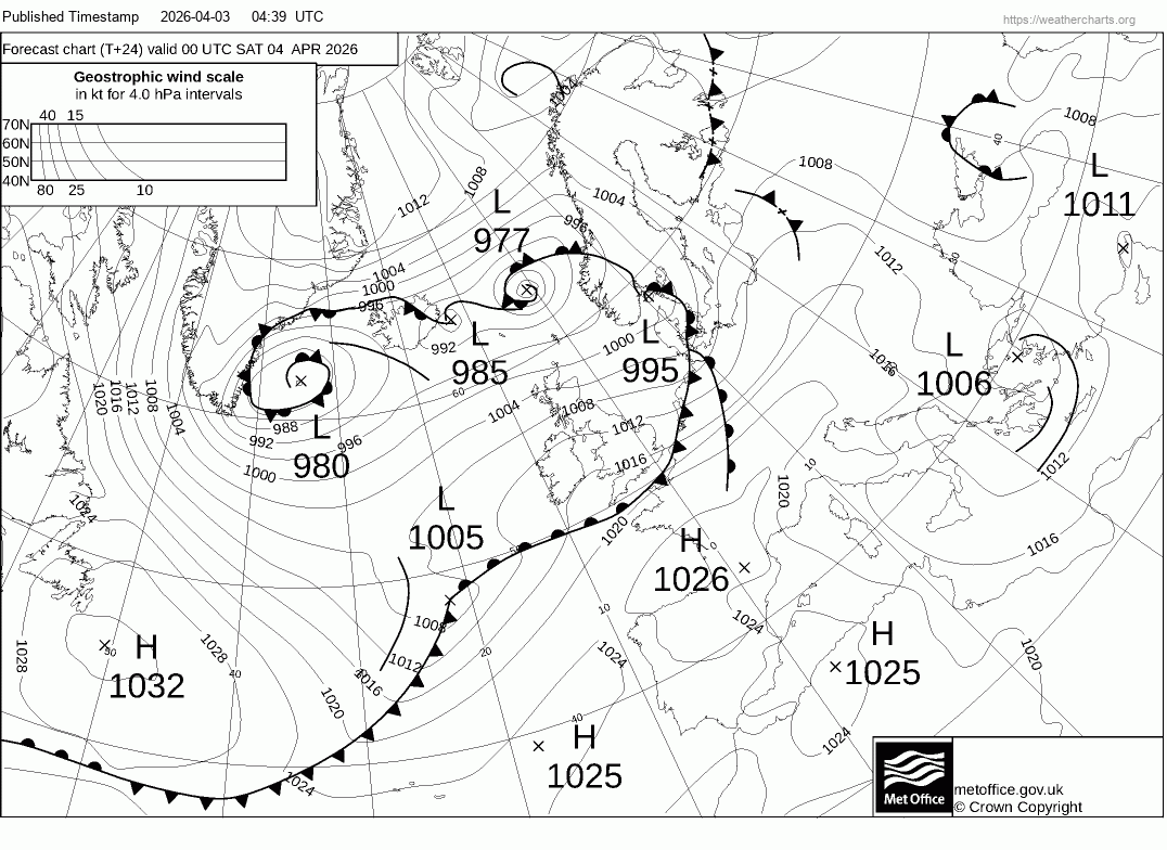
The low undergoes rapid cyclogenesis (RACY) in 24 hours, from around 1003mb at 3am Saturday to 972mb at 3am Sunday, a drop of 31mb. RACY or explosive / bomb cyclogenesis is defined by a central pressure drop of at least 24 hPa in 24 hours.
The deepening low centre will pass NW Ireland Saturday late afternoon then across northern Scotland during Saturday evening, strongest gusts on the southern and southwestern flank of the low, hence the far north of the island of Ireland, western and southern Scotland, along with Cumbria may bear the brunt of strongest winds.
Storm Dave clears off to Norway Sunday morning and the UK is left in a cold and blustery polar westerly flow, which will feed in sunshine and showers, heaviest and most frequent in the northwest - where they will be wintry over higher ground, with further snow for the mountains. A cold night to follow, with a widespread frost developing.
The weather looks to remain changeable next week, turning more settled on Easter Monday, as a ridge of high pressure builds in. Then a brief warm up for England and Wales on Tuesday and Wednesday, as high pressure shifts east and low pressure moves into the southwest, drawing warm air up from the Mediterranean. Could see temperatures reach the high teens and low 20s Celsius. However, it looks to turn unsettled again for all from Thursday, as low pressure over the Atlantic to the northwest takes back control, bringing a return to cooler, windier conditions with spells of rain or showers spreading east.
Loading recent activity...