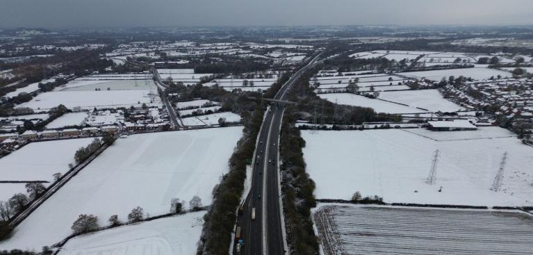
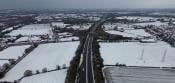
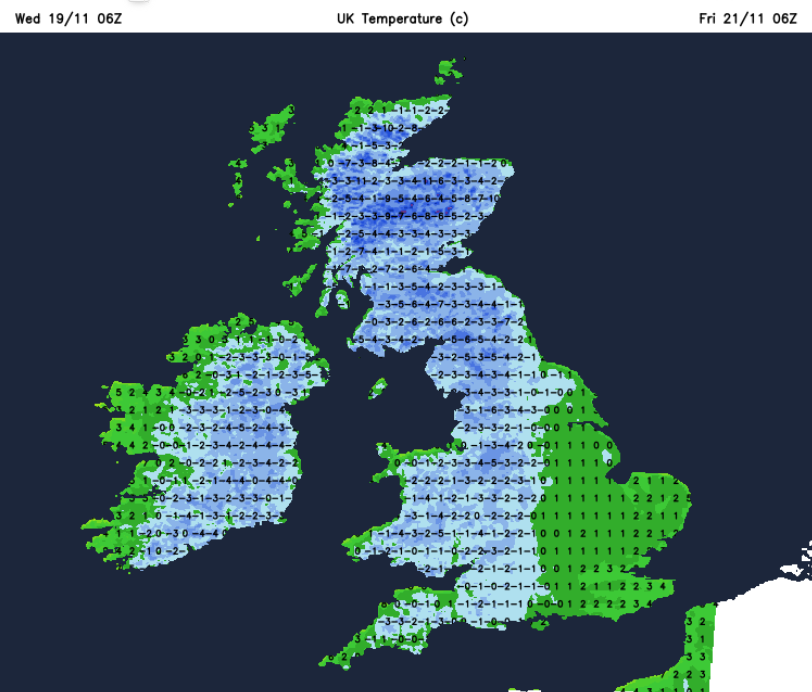
It’s cold, there is ice and snow for parts of the UK. So far, that has mostly been over hills and mountains, but we are now into even colder Arctic air, so more of the showers will be turning to sleet and snow inland. This cold spell will last until Friday with a change at the weekend.
It has been so mild for most of this month that any wintry flurries have struggled to settle on the ground. However, as we see successive cold nights and this colder air by day, any snowfall will find it easier to settle and build up, especially over the high ground in the north.
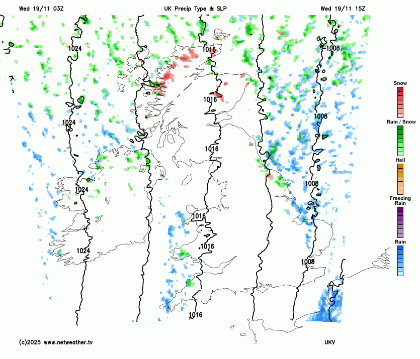
This morning, we are transitioning from a messy setup with a low pressure clearing away to the southeas,t which then leaves the UK in the cold northerly, a simpler flow.
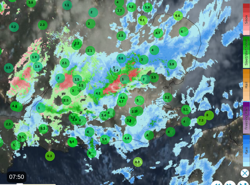 Netweather Radar showing air temperatures before 8am and a wet, wintry mix on frontal band heading SE
A frontal zone from the low has brought a cloudy, damp zone along the M4 into East Anglia and this band will move over London and the Home Counties this morning, into Kent by lunchtime. This will bring some wet snow over the higher ground, but it won’t amount to much by day. It could be slushy over the South Downs for a time as temperatures drop in any precipitation. Behind this band, there will be sunshine and cold air with temperatures in southeast England at 5 to 7C. However it will feel much colder in the brisk north wind, closer to -1C.
Line of rain showers from SW Wales to Cornwall on Wednesday morning, frontal precipitation over the Cotswolds
Western Wales will be plagued by the “Pembrokeshire Dangler”. This is a near-stationary line of showers which develops in a northerly and can bring locally high amounts of rain, or snow. This setup is visible on the radar as it pesters Pembrokeshire and Cornwall on Wednesday morning. Inland Wales will also see fine, sunny weather, and with some shelter in the south, Cardiff could reach 6C
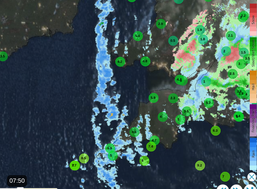
A scattering of wintry showers in the northerly flow Netweather Radar
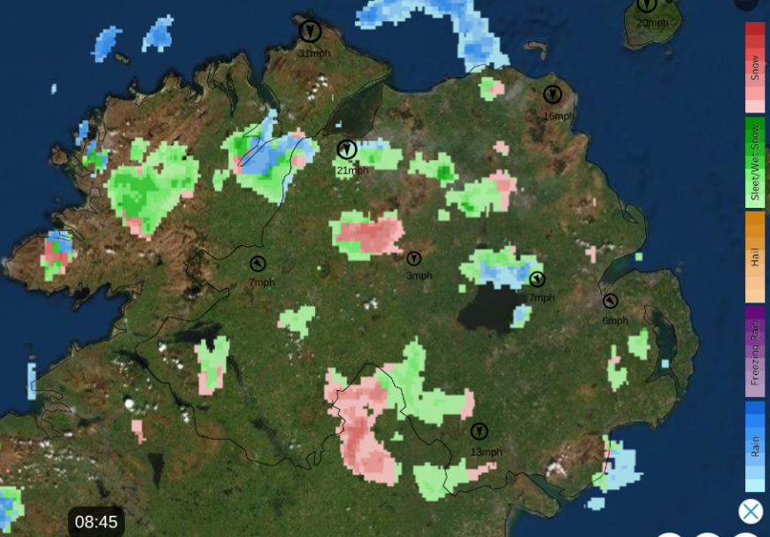
Northern Ireland is in the northerly feed of showers with a mix of rain, sleet and hill snow. There will be some heavier clusters this evening, so expect wintry showers even to lower levels and the risk of ice. Belfast will reach 5C but feel more like 2C in the breeze.
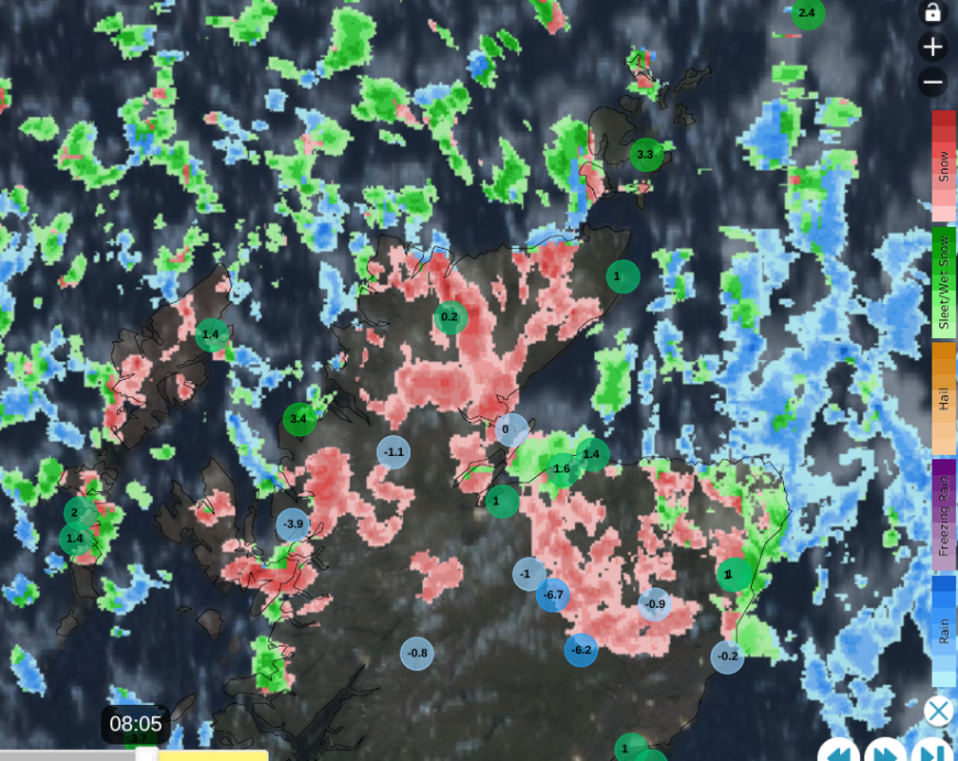
Plenty of showers showers showing on the radar with sub-zero temperatures for inland Scotland this morning
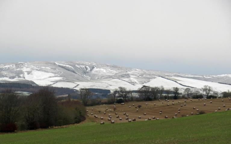
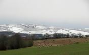
Northern Scotland continues with a rash of showers. These will add to lying snow over the high ground today and tomorrow with a wet or wintry mix to lower levels.
Aberdeen, Glasgow and Edinburgh will only reach 3C today. Inland tonight, most of these showers will be as snow with a higher risk of ice. Northern Scotland could see 5 to 20cm of snow in places, depending on the shower distribution. This will be a taste of winter midweek.
Central and southern Scotland, even for a good part of England, will be rather sheltered in this northerly flow, so it will be cold and sunny but often dry.
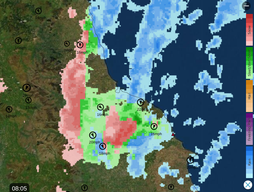
We have northern Scotland catching most of the snow showers, a few glancing past Pembrokeshire and a real focus on the east coast of Britain. There are more Met Office warnings for snow and ice as lines of showers hit eastern England. The NNW wind is pulling showers along the Yorkshire coast, sometimes into northeast England, Lincolnshire and East Anglia.
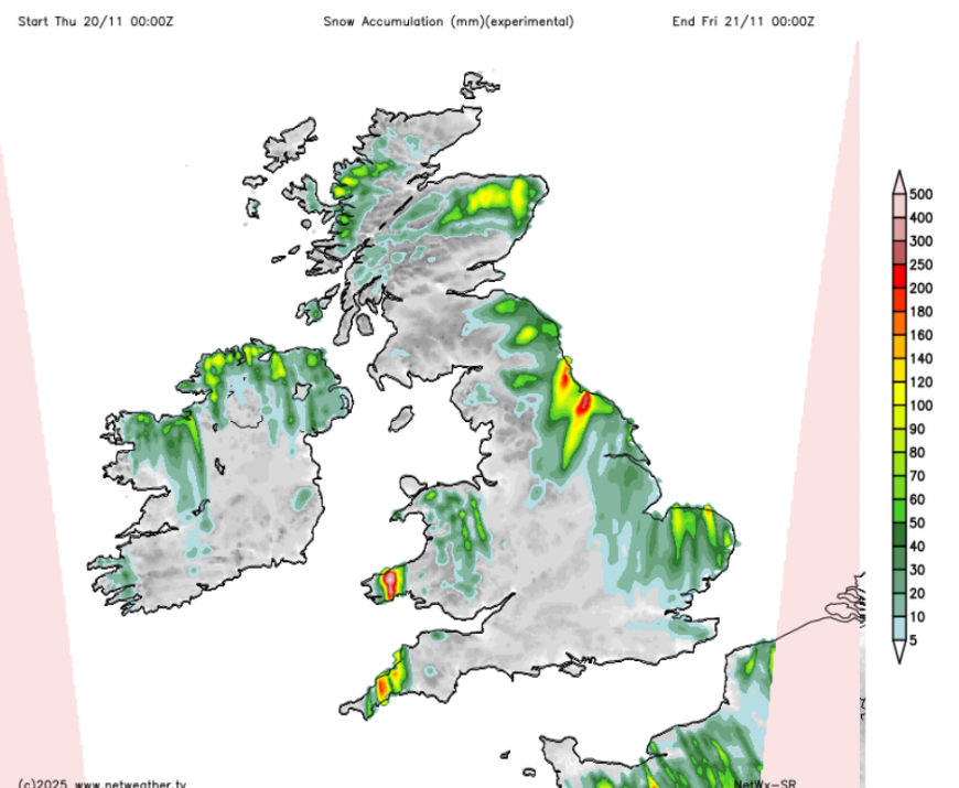
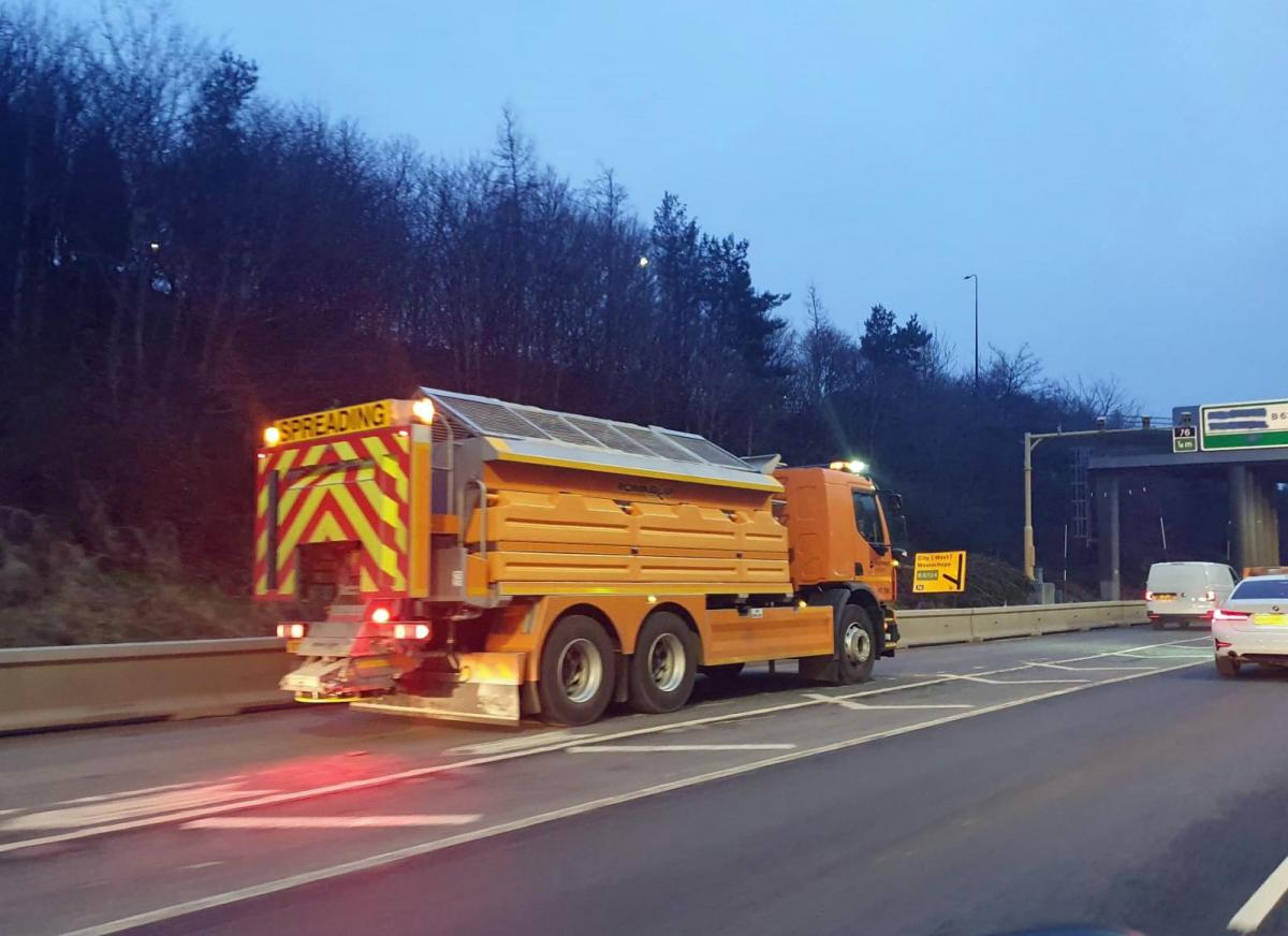
As the snow accumulates, travel disruption is more likely. The Met Office has issued an amber warning for:
“Frequent wintry showers, leading to significant snow accumulations, are likely to cause disruption on Thursday…significant snow accumulations over the North York Moors and parts of the Yorkshire Wolds.”
Here, 15 to 25cm looks possible on modest hills with gusty winds and the risk of blizzard conditions, along with ice. If this were January, locals would expect these conditions but this is the first winter bout and quite a deterioration.
Into Thursday, we continue with the cold weather. Overnight temperatures will fall below freezing, there will be ice and frost, so leave a little extra time if you drive to work, to defrost your windscreen. The feed of showers will ease for Northern Ireland and western Scotland as high pressure builds out west. Clusters of heavy showers and more inland snow will continue for Grampian, northeast England and the Yorkshire coast, particularly over the North York Moors. A wet wintry mix will feed along the North Sea coast, down to Lincolnshire and into Norfolk with a cold wind.
Friday looks dry and sunny, still cold but with lighter winds before a change to a southerly flow and milder air at the weekend. That does mean Atlantic rain though, with a low pressure by Sunday.
Loading recent activity...