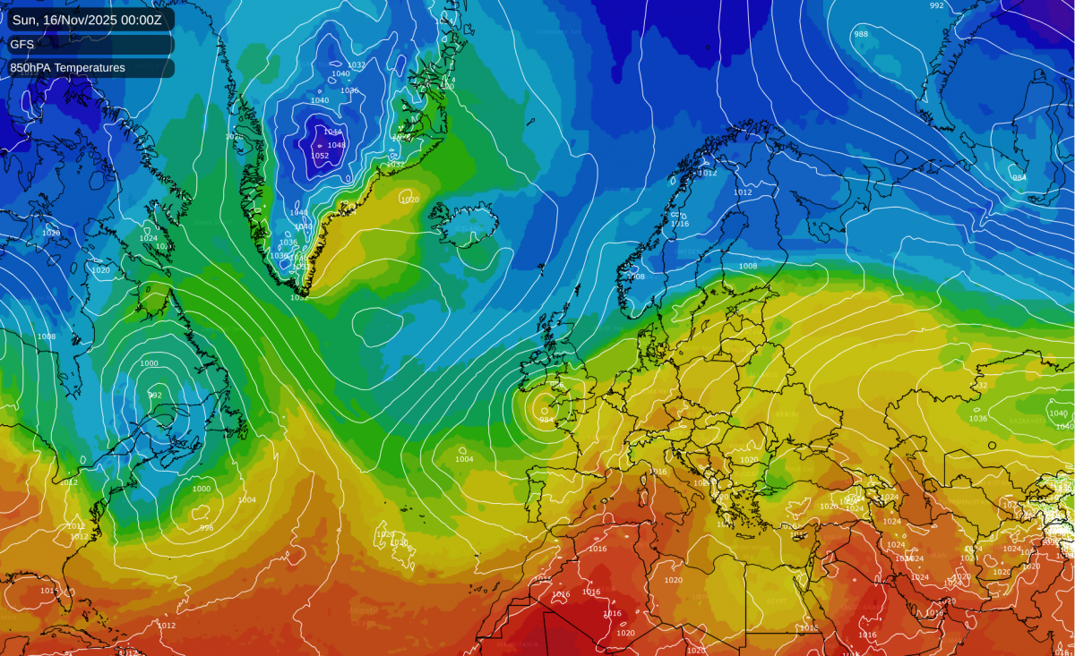
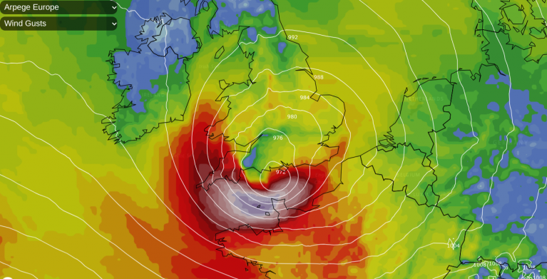
There is potential for some noteworthy weather coming up over the British Isles in about a week's time. Cold air will start to advance from the north and north-east, on the eastern flank of a developing Greenland blocking high, but it will have to battle hard with much milder air coming in from the south-west in order to take hold over Britain. In the battleground between the two air masses, there is potential for some areas to be very wet, with potential for flooding due to frequent persistent rain.
At present this looks most likely to be especially the south and west, but there is a lot of uncertainty over where the wettest areas will be. For example, a similar synoptic setup back in mid-November 1995 sent the fronts a long way north and east and brought the wettest conditions to eastern Scotland and north-east England, with over 50mm of rain in two days over quite a wide area.
The wettest region will generally be wherever the fronts stall against the cold air coming down from the north, which will result in persistent rain for a long period in the affected region. Northern Scotland will probably miss the majority of the rain, as it looks likely that northern Scotland will see the colder air move in without many interruptions, but even this is prone to change - if low pressure to the south-west proves to be stronger than currently modelled, it could send the mild and wet weather further north.
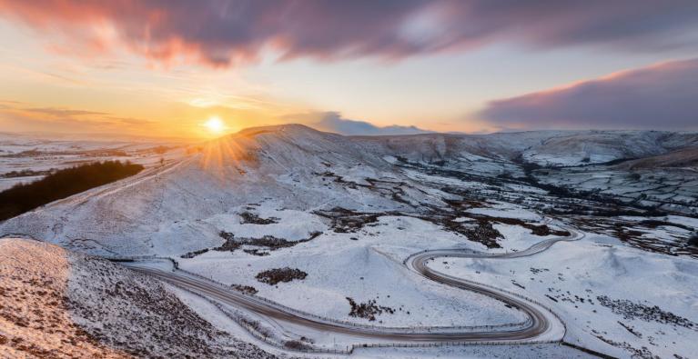
Although November snowfalls have become less common since the 1990s in accordance with the warming climate, it is still possible to get widespread snow in mid to late November, as we saw last year, with a widespread snowfall in the Midlands on the 18th/19th, and in Devon early on the 21st, including an unexpected fall in the Exeter area, and snow showers also affected many coastal areas on the 20th with lying snow out to the sea front in places such as Whitby and Sunderland. Last year's scoop of Arctic air was unusually intense for the time of year and brought the most widespread snow in November since 2010, so it is unlikely that we will get anything on that scale. But there is certainly potential for a potent scoop of cold air to come down from the north or north-east after mid-November 2025.
It is not yet clear if we will get a substantial northerly or north-easterly outbreak in November 2025, as there will be a limited "window of opportunity" for us to get a notably cold air mass from the north on the eastern flank of the Greenland high. If the low pressure and milder air hold firm for long enough to the west and south-west, we may end up with a mild and wet spell followed by a transition to colder, drier weather with no sleet or snow at low levels.

There is also some potential for snow in the north if the wet weather pushes a long way north and east and collides with the cold air coming south, which could give snow on the northern flank of the rain-bearing frontal systems. But most of the current model runs suggest that it is unlikely to be quite cold enough for snow at low levels at the frontal boundary unless the systems push into the northern half of Scotland, whereupon it could snow at low levels chiefly in northern Scotland.
It is currently looking likely that by around 20 November we will move into a colder, drier regime with potential for overnight frosts, and probably a fair amount of sunshine, rather than anticyclonic gloom, due to polar air masses combining with high pressure. But there is considerable uncertainty over how cold and for how long.
In the aforementioned similar setup in mid-November 1995, we did get a cold snap following the wet weather, as a north to north-easterly flow set in on the 17th, but it was only short-lived, and the northerly had largely subsided by the 18th. There had been a Greenland blocking high around mid-month, but when the northerly blast set in, the Greenland high "toppled" and came over to Britain on the 18th and 19th, with low pressure systems pushing over the top. Wintry showers affected a large area of northern and eastern Britain, with some thunder in places as well, with thunder reported at both Newcastle and Norwich Weather Centres (as this was back in the days when the Met Office maintained a number of regional weather centres). In the Tyne and Wear area, lying snow on the 17th was probably the earliest lying snow in the season since the 1970s, as previous November snow events in the 1980s and early 1990s hadn't produced snow cover until the 20th or later. However, most counties that didn't border the North Sea were predominantly dry and sunny.
With the climate having warmed by close to 1C over the past 30 years, a repeat of that 17 November 1995 event would probably see substantial snow cover confined to high ground, even in eastern Scotland and north-east England. However, it would still likely be cold enough to produce showers of sleet and wet snow to low levels.
Loading recent activity...