High pressure is building in from the west bringing a mostly dry and settled week with some decent spells of sunshine for many. It will be on the cool side, with some cold nights at first. The remnants of Hurricane Gabrielle approaching Europe brings uncertainty for next weekend.
The weekend saw a tale of two halves: Saturday was rather wet and windy weather across parts of England and Wales, as slow-moving frontal boundary continued to bring persistent and heavy rain across Wales and northern England, while a deepening area of low pressure moving northeast along the frontal boundary also brought strong winds across England and Wales.

Streets were flooded and cars left abandoned in parts of northwest England, including parts of Greater Manchester, after 20 hours of continuous rainfall. There were Flood Warnings issued for northern England and for the River Severn in Wales.
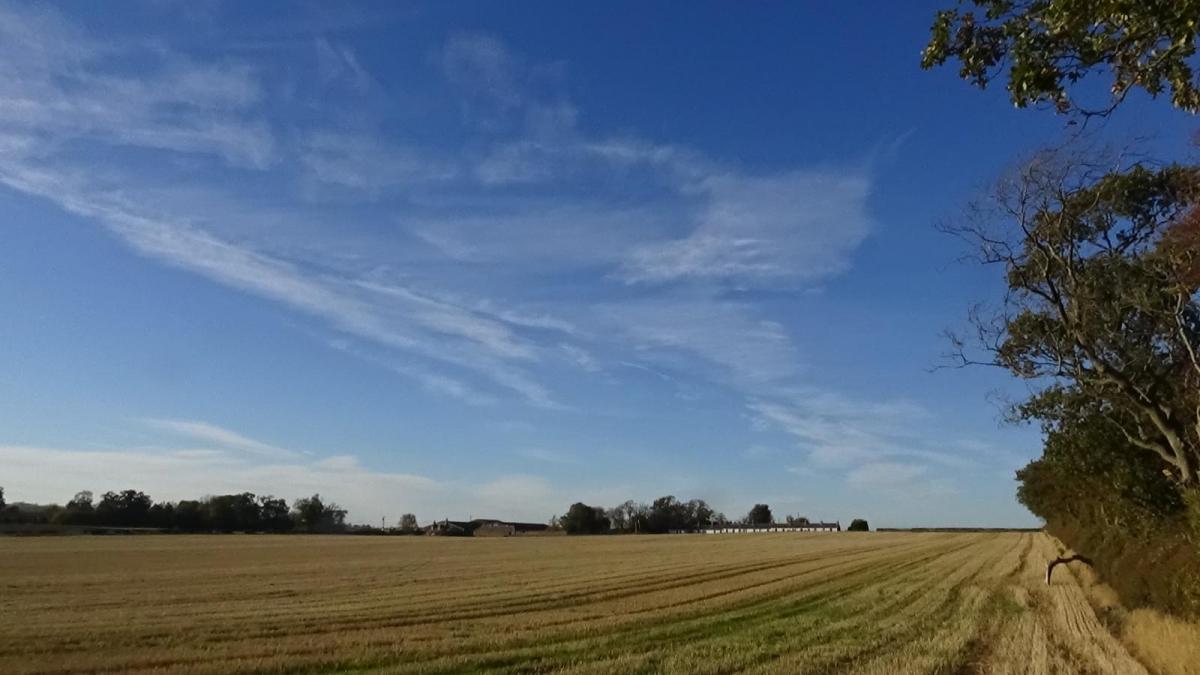
However, Sunday was mostly dry and sunny, as the low bringing the rain and strong winds moved away east and ushered in a much cooler but drier northerly flow spreading down across all parts. This led to a cold night last night under clearing skies, with an air frost across parts of Wales, Midlands, N England & Scotland. Fittingly it's the Autumn Equinox today, the start of astronomical autumn.

High pressure looks set to build in from the west today and hang around close by all week, bringing drier and more settled conditions for all. Temperatures below average though this week, reaching the low to mid teens in the north, mid to high teens in the south, the nights chilly where there’s clear skies.
High pressure in charge this week - bringing mostly fine and settled conditions

Temperatures generally below average though this week

England and Wales will be mostly dry with plenty of sunshine today, though towards the coasts of eastern England the brisk northeasterly breeze here may bring a few scattered showers. Clouding over from the north across Scotland, with a few scattered showers possible towards the north too.
Tuesday largely dry with sunny spells and variable amounts of cloud, as high pressure builds in from the west over the UK, just the odd shower towards Kent and coastal East Anglia.
Wednesday and Thursday again mostly dry and with sunny spells with high pressure still firmly in control, just and isolated shower risk. A strengthening wind and thicker cloud bringing patchy drizzle or rain may arrive in the far northwest on Thursday.
Friday may see a more organised band of rain move in from the west across Ireland and the west of mainland UK, drier and sunnier in the east and warmer too, though some uncertainty on the timing of the rain’s arrival.
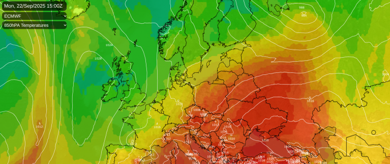
There is uncertainty for next weekend, with the remnants of Hurricane Gabrielle, which could become a major category 3 hurricane for a time, as it passes east of Bermuda, before it moves towards western Europe by the weekend, injecting some tropical energy into the jet stream and heralding a return of more unsettled conditions.

However the models diverge on what to do with the remnants of Gabrielle and also how far east the resultant strengthening Atlantic zonal flow tries to push east against blocking high pressure established over eastern Europe which will determine whether unsettled conditions spread east over the UK next weekend.

The 00z ECMWF model run has the Gabrielle low tracking east over the Azores, before arriving over southern Portugal later on Sunday, before the low dissipates. Whilst the 00z GFS tracks the ex-Gabrielle northeast from the Azores before dropping the low southeast in across NW France before it too dissipates. Other models hang ex-Gabrielle out west over the Atlantic before the low then dissipates before getting anywhere near Europe.
The uncertainty in track is likely down to how far south the Atlantic upper trough and jet stream extends and interacts with the ex-Gabrielle low. GFS extends the upper trough and jet stream further south than ECMWF, so the low tracks further north.

It looks like Hurricane Gabrielle will pass close to or over the Azores later this week, where ex-tropical transition is likely to occur soon after on Friday, it’s where it tracks thereafter which is uncertain. Though of the 00z ECMWF clusters (above), which there are 5, mostly keep ex-Gabrielle low well away from the UK, bar cluster 4.
Loading recent activity...